Sign up for the newsletter
Explore Road bike
Boucle vélo de Brié-et-Angonnes
Routes
Very low slope <5% %
Low slope <7% %
Moderate slope <10% %
Steep slope <15% %
Very steep slope >15% %
Description
A loop starting from Tavernolles, Brié et Angonnes.
Situated on a major road (the D5) that connects to the Grenoble urban area, the starting point for this loop is very convenient for meeting up, parking and refreshments once the walk is over.
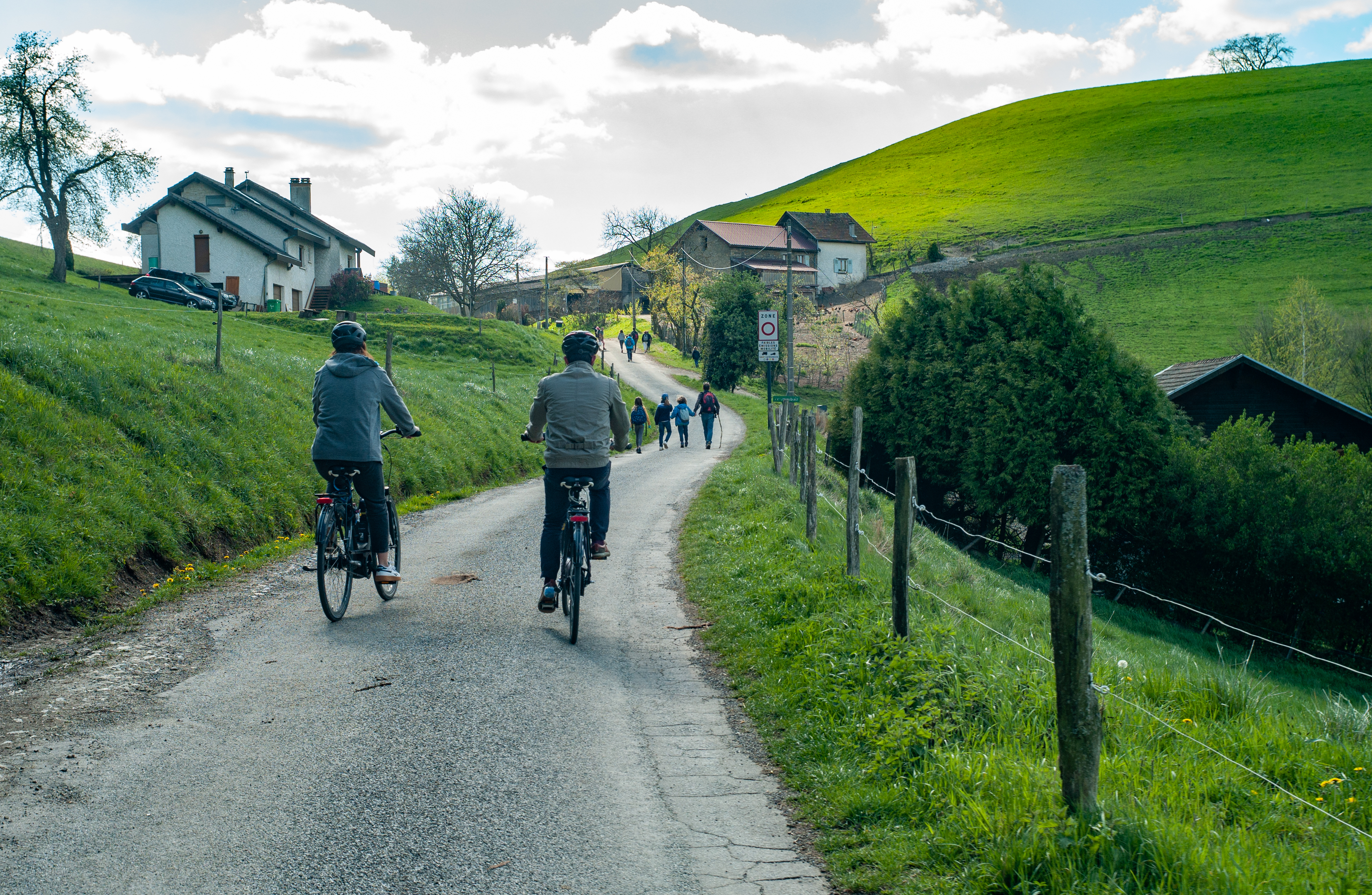
From the center of the hamlet of Tavernolles, you'll quickly gain height before winding your way along quiet country roads. With its moderate gradient, beautiful curves and pleasant descents, this route is suitable for beginners.
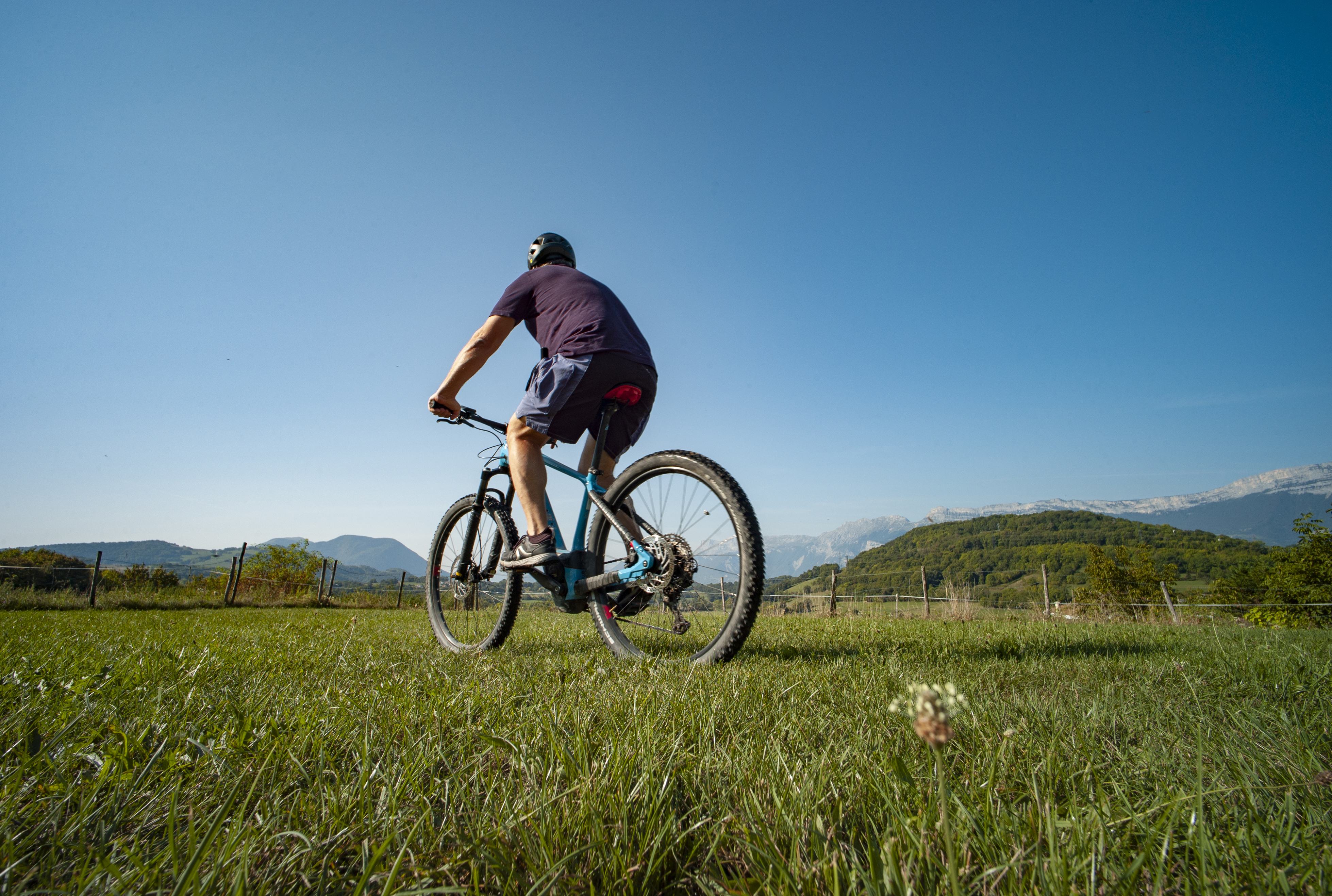
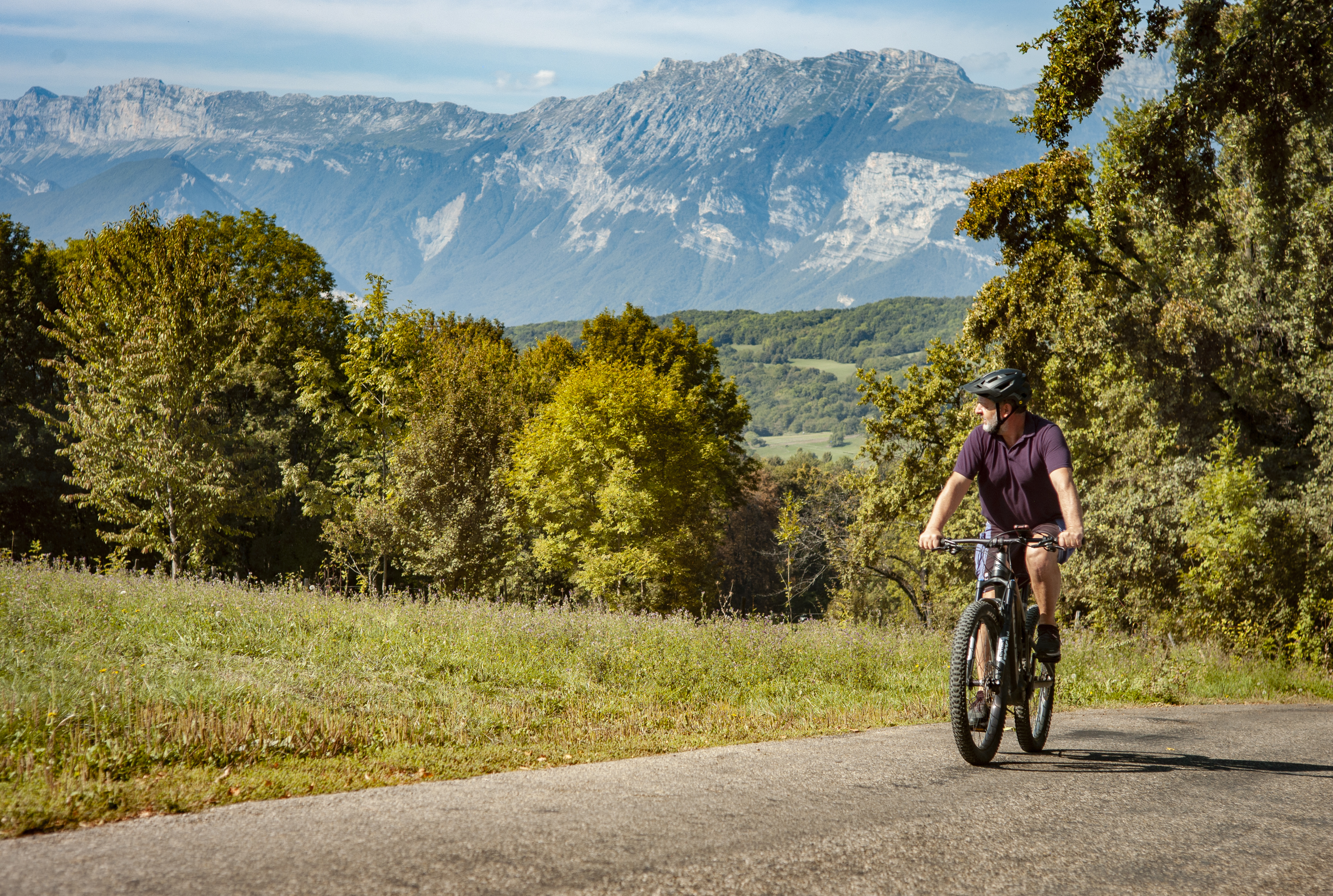
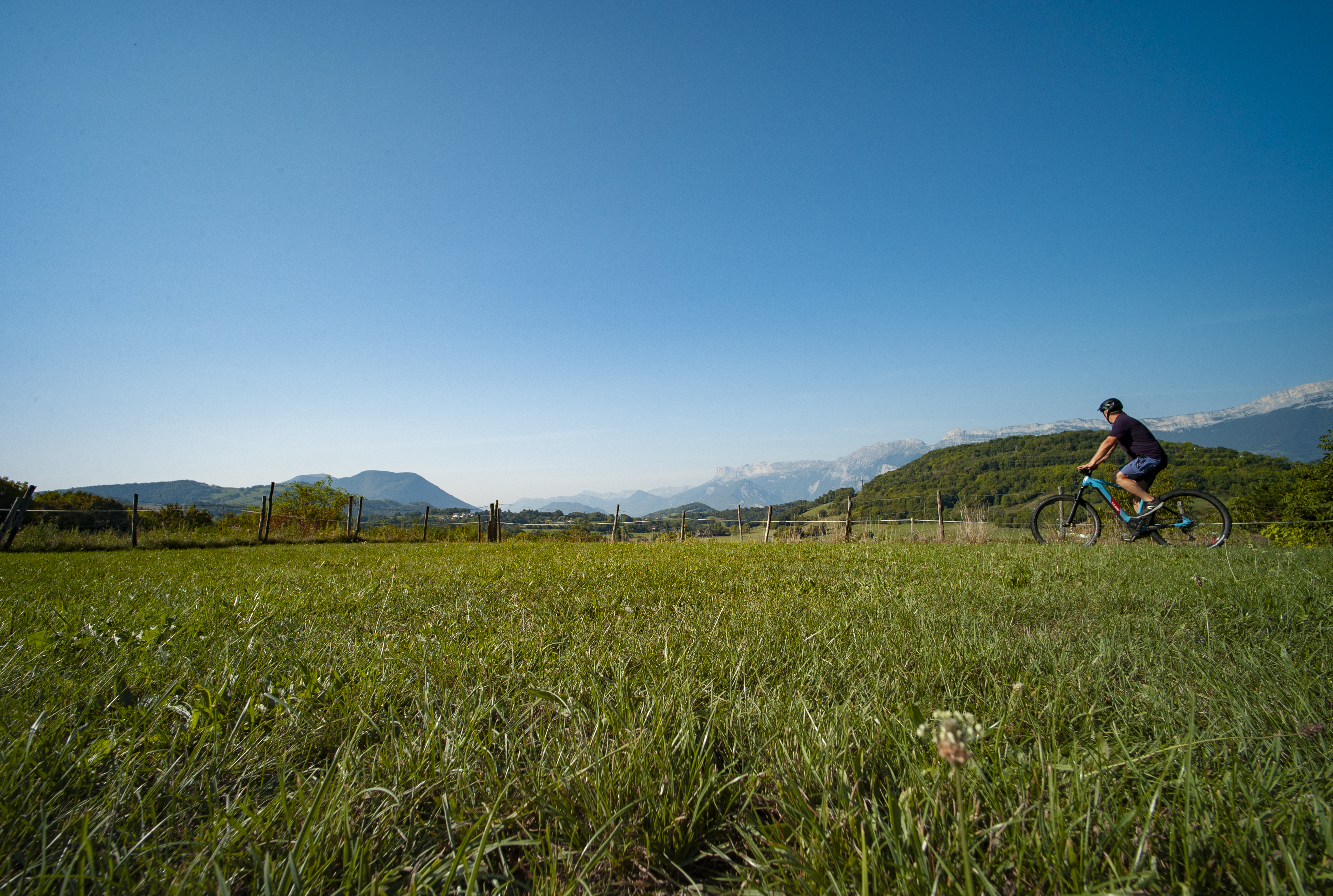
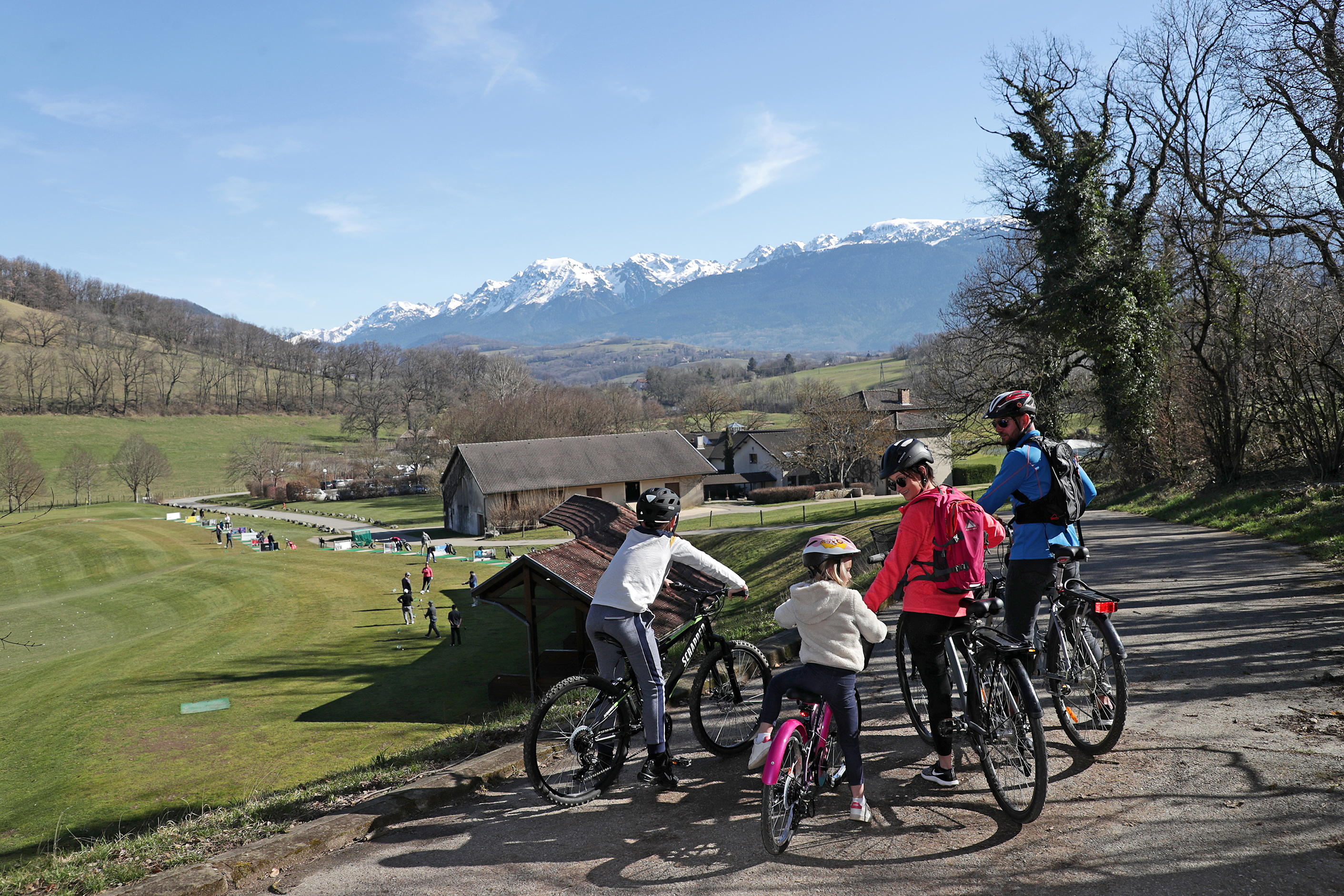
With the Vercors Massif as a backdrop, the hamlets of Brié-et-Angonnes wind beneath your wheels in an invigorating alternation of bocage and undergrowth.
This loop takes you in the footsteps of Napoleon. After his escape from Elba and his victory at Laffrey, the emperor was back in power. In Brié-et-Angonnes, he met a young colonel, Charles de la Bédoyère, whose name the park bears today.
From the parking lots along the Tavernolles traffic circle, climb up the D112 - route des Angonnes.
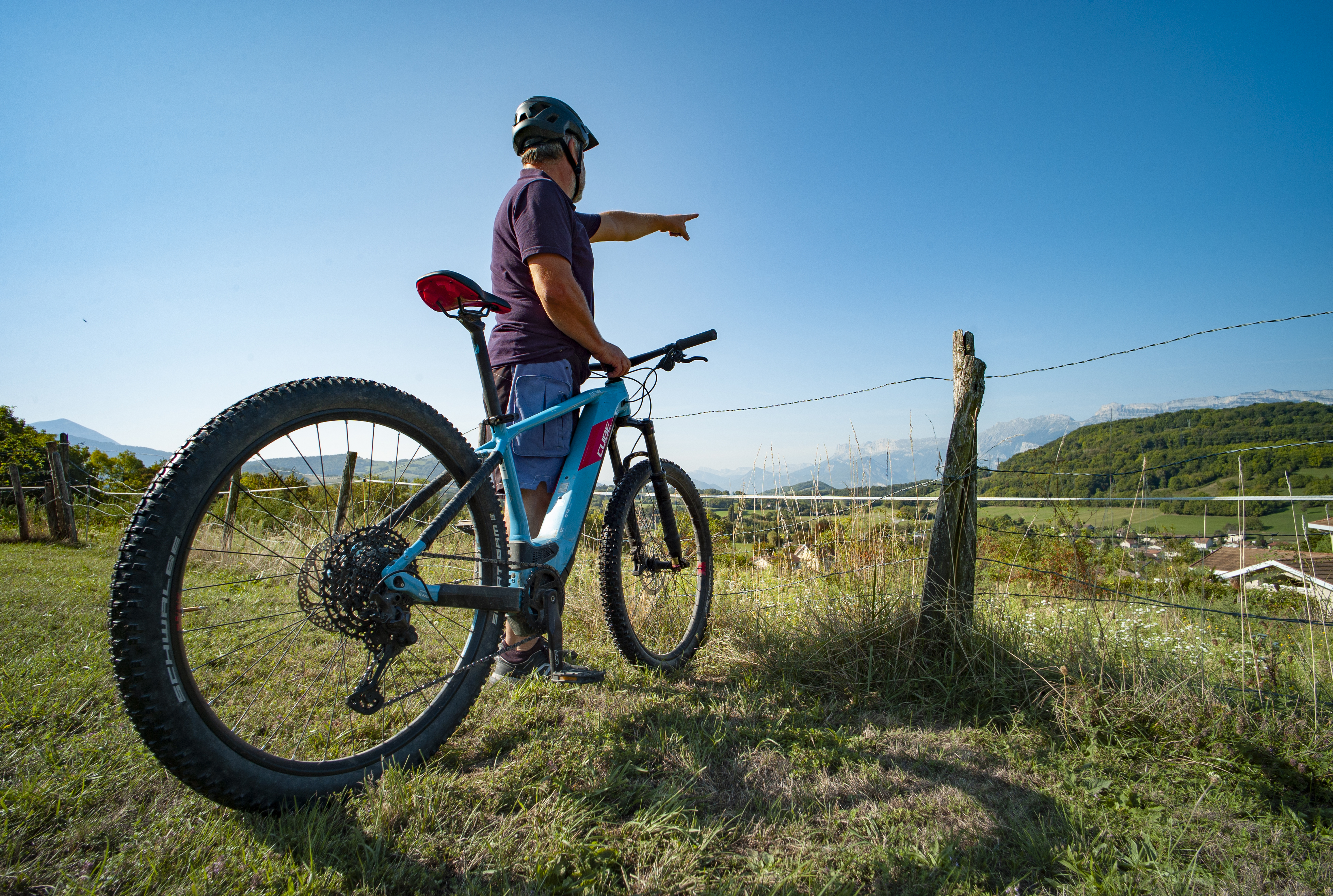
Before setting off down the Chemin de l'Oratoires on your right, take time to admire the line of ridges that opens up before you from the Angonnes chapel parking lot.
Turn left onto the Chemin du Petit Vallon.
Turn right onto the Chemin des Bourrins for 100 m, then left onto the Chemin du Cavin.
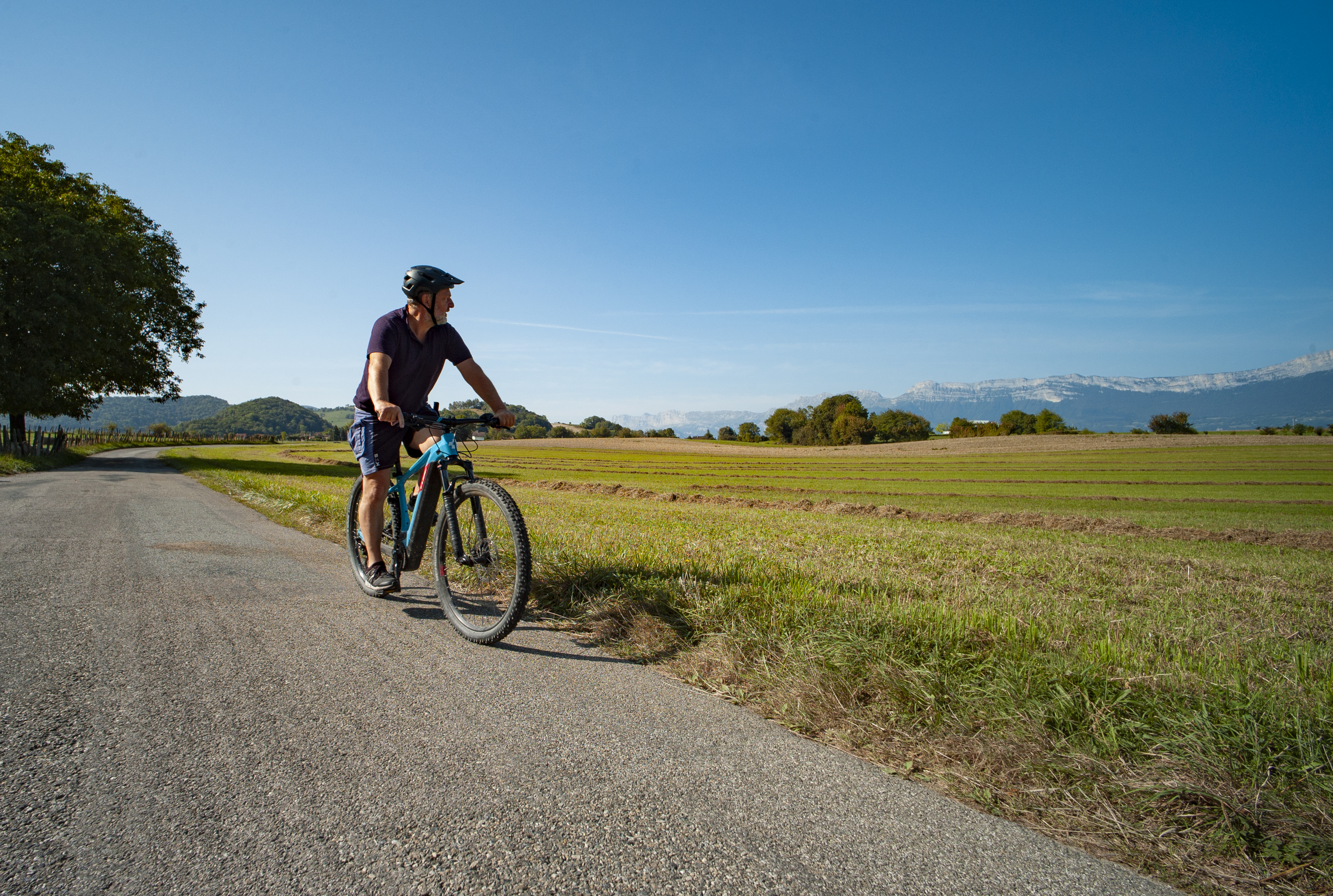
Turn left onto route du Souveyron, which, after passing through a residential area, offers superb views of the surrounding fields and mountains.
Take the Chemin des Metraux on your left and continue along the same road, turning right at the next crossroads.
Keep to the right on the Route d'Uriage and watch out when crossing the Route de Grenoble.
Enjoy the panoramic view across fields and hedges from the route du Mont Rolland and the route de la Croix.
Continue on chemin des Rollands, turning right after the speed bumps, and continue on chemin de Blanchetière and chemin des Lombards.
Turn left onto chemin de l'Egagere.
Return to your starting point by carefully turning right onto the D112 - route de Jarrie. For safety (if you have a suitable bike), take the small path that runs alongside it on the right for a long stretch.
Photos
