
Sign up for the newsletter
Explore
1
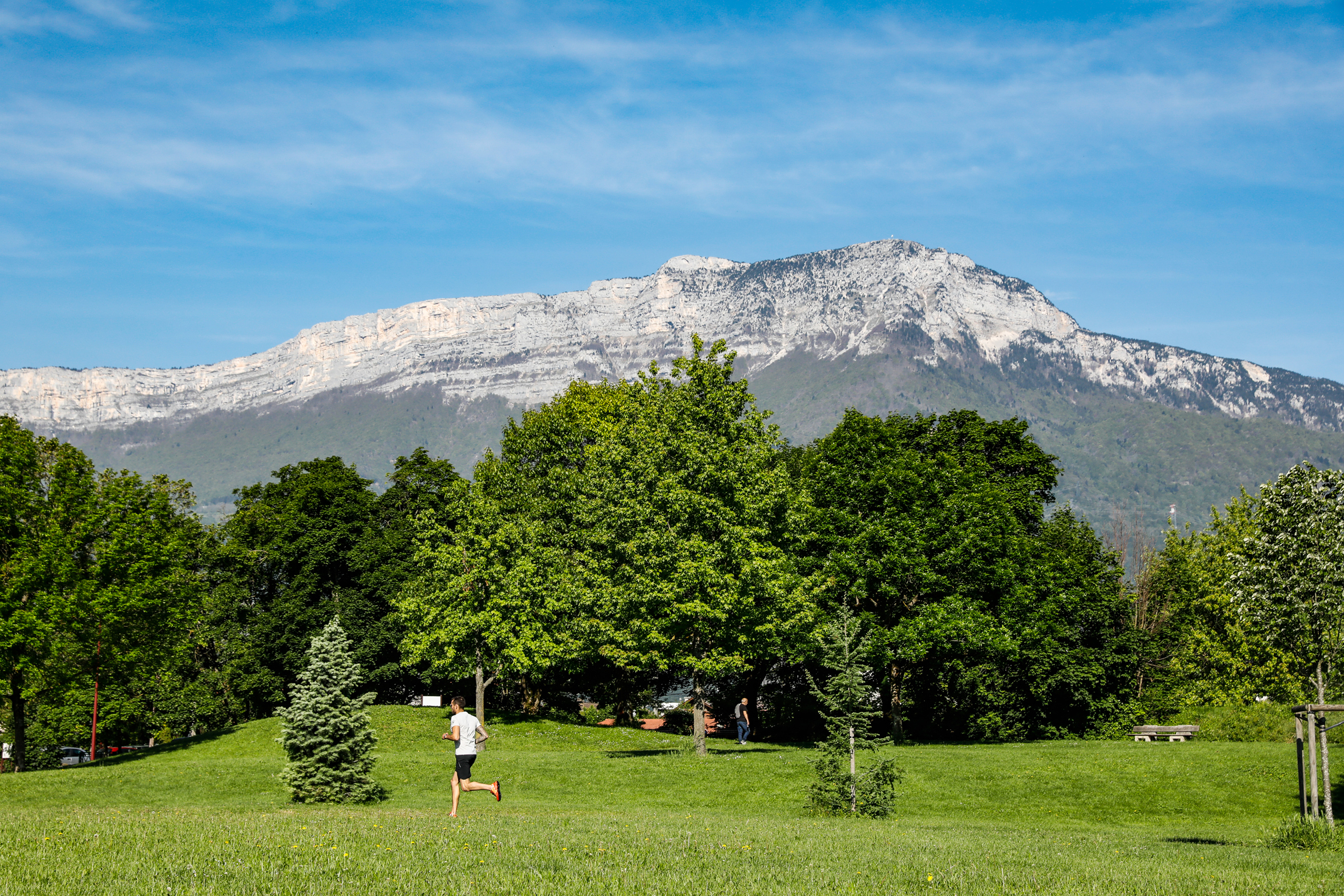
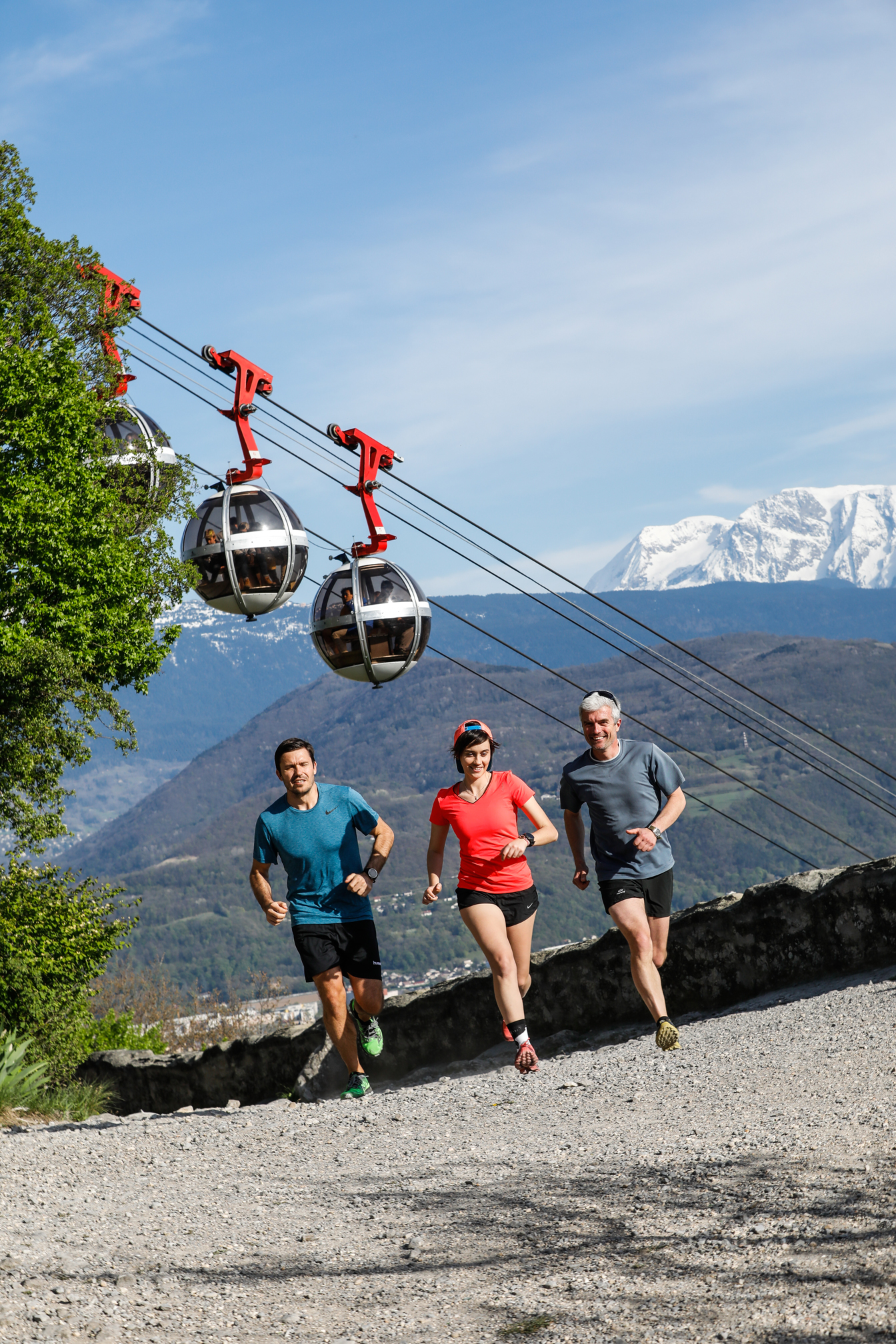
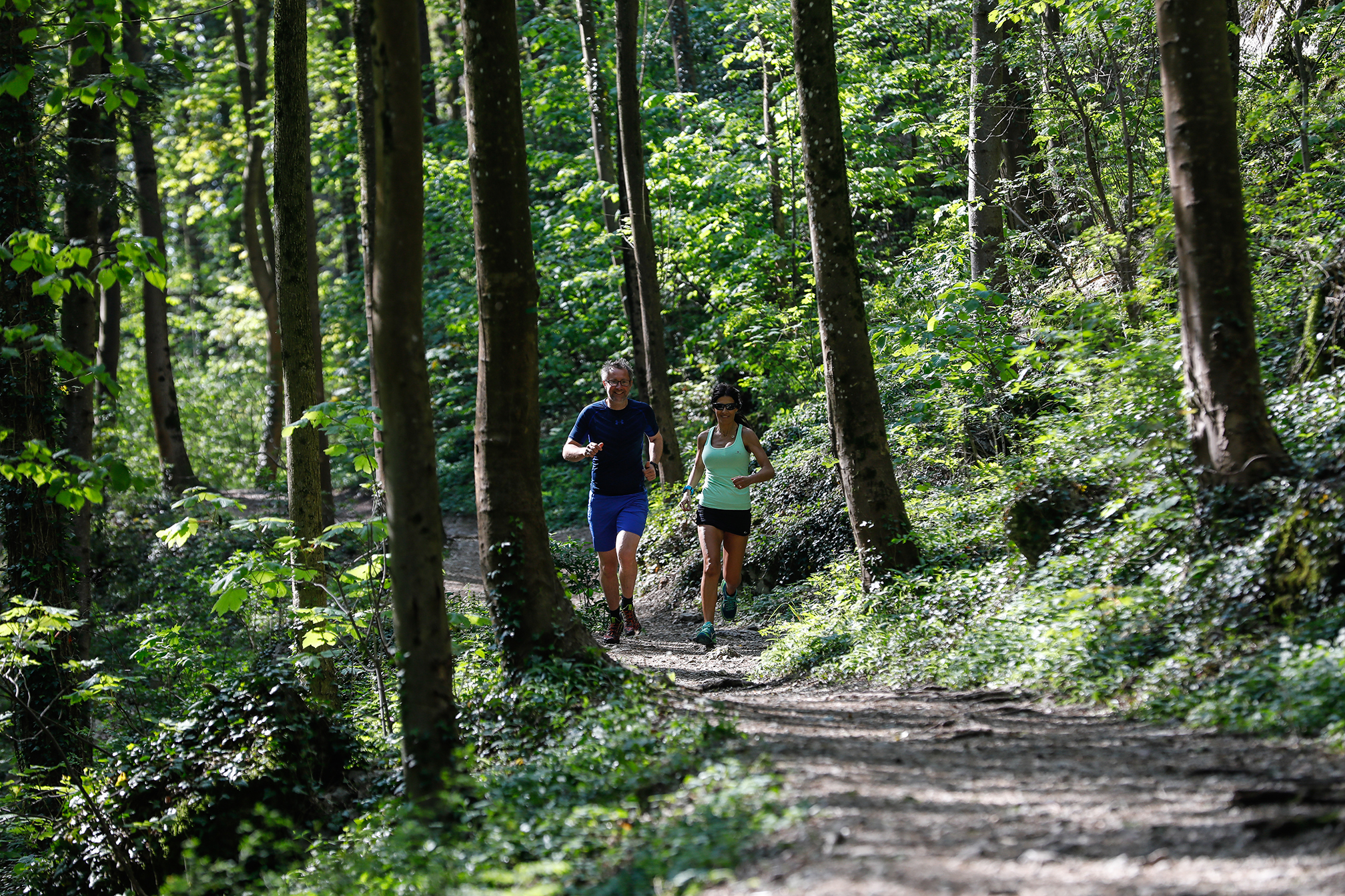
 Trail Running
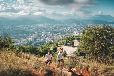
Frange Verte - L'étang de Haute-Jarrie
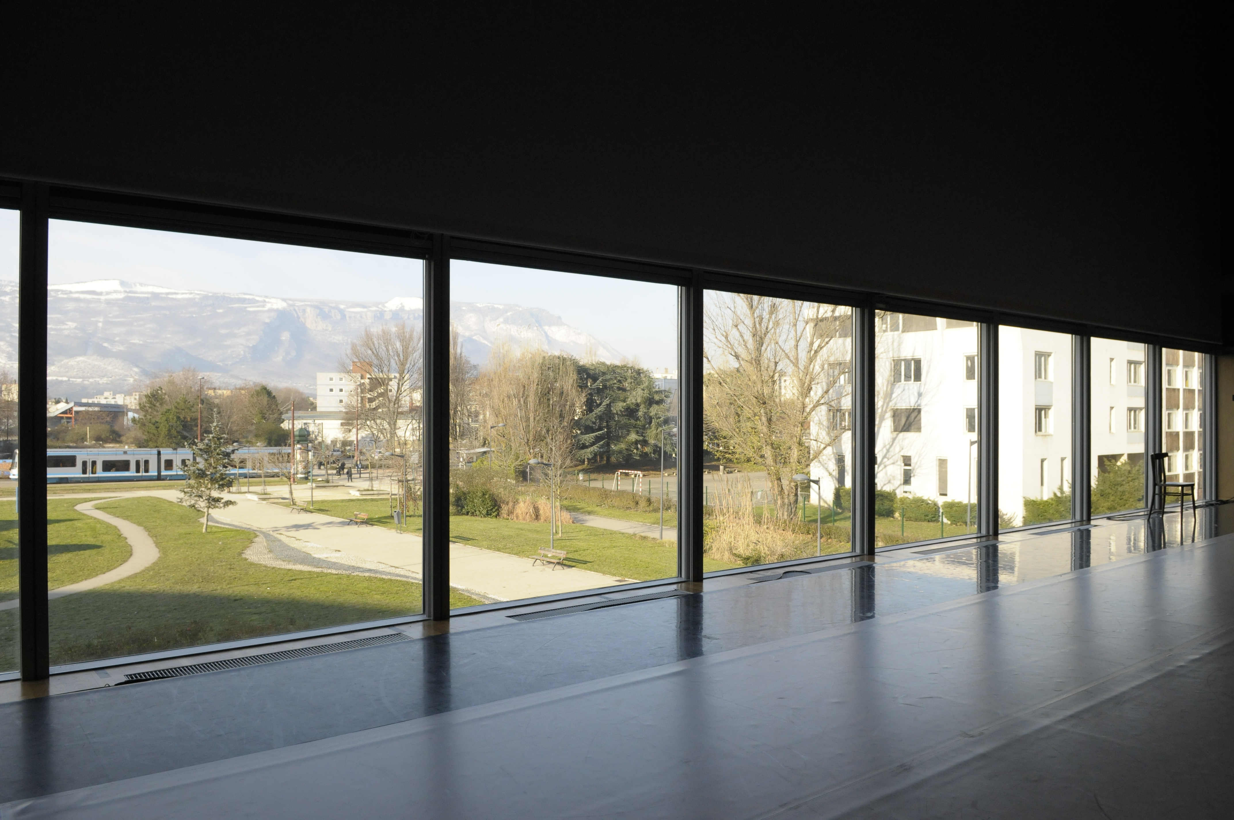
Parc de la Frange Verte, Échirolles
8.10 km
Distance
235 m
Positive elevation
234 m
Negative elevation
417 m
Max. altitude
Easy
Difficulty
Opened
Routes
Very low slope <5% %
Low slope <7% %
Moderate slope <10% %
Steep slope <15% %
Very steep slope >15% %
Description
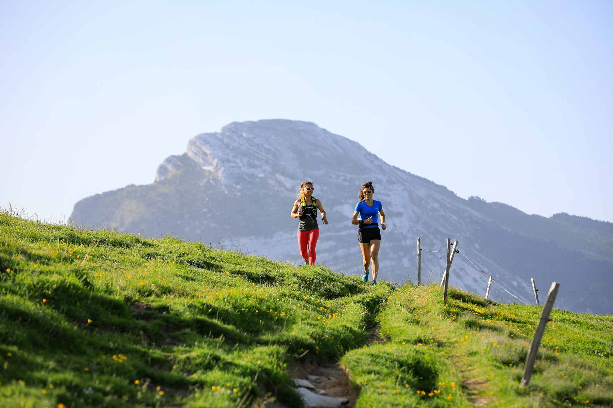
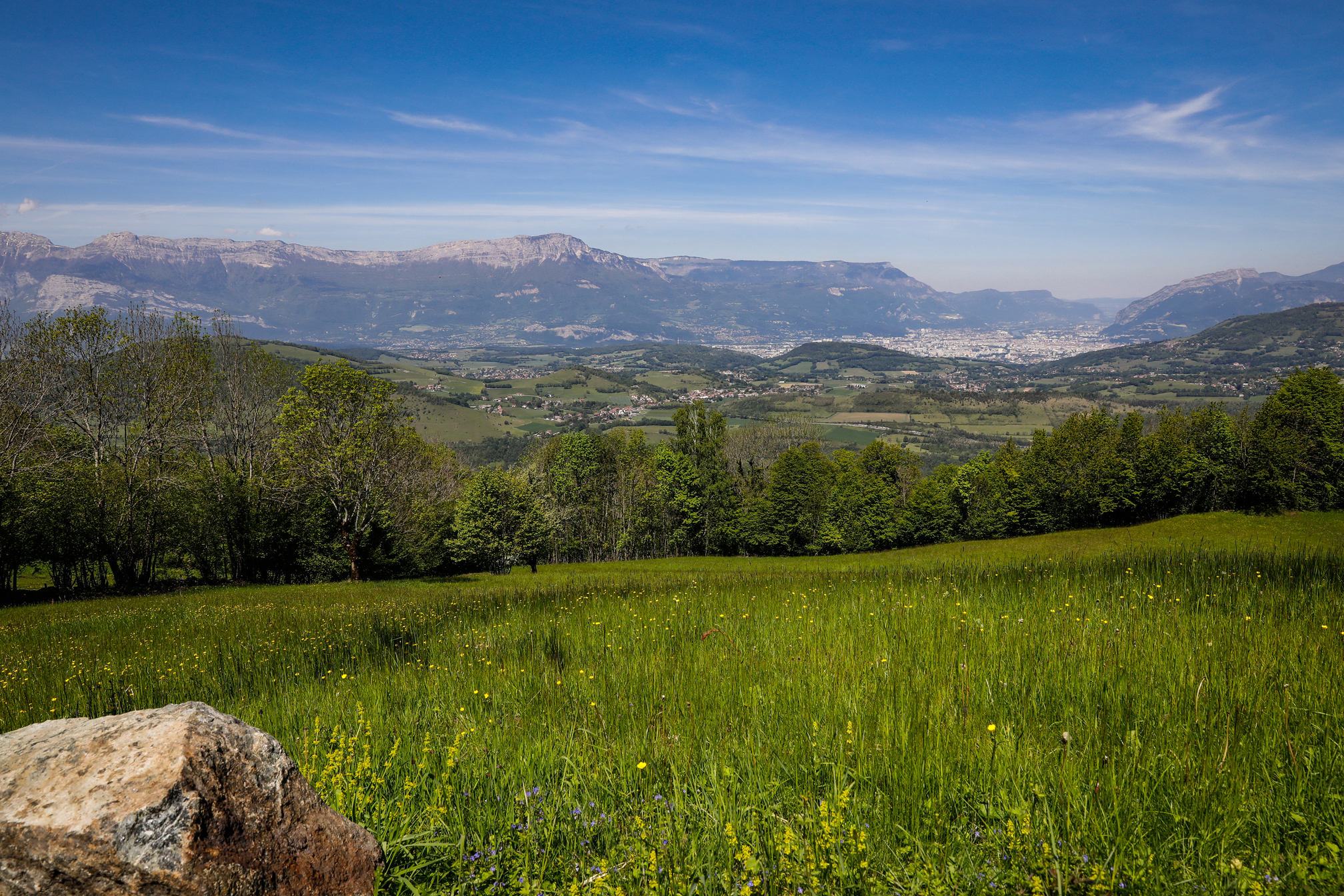
Route n°1 : The departure across the Frange Verte Park makes a good warm-up before your legs tackle the steady climb to Jarrie.
From the plateau you'll discover an outstanding panoramic view of the surrounding mountains and the Etang de Haute Jarrie regional nature reserve. The return descent is on an amusing path in a lovely forest decor.
You'll find water at the departure point in Frange Verte Park and at Le Plâtre
Source APIDAE
Photos
Shops, Services and Heritage Sites


You will also like
Explore the best spots!
We have picked out for you the best destinations and routes, marked out by local experts and respectful of the environments in which they take place. Routes, accommodation, courses, races, equipment, find all the good addresses and recommendations of the On Piste team to organise your next walking, cycling or skiing session. Let us guide you and don't miss any point of interest.
© 2022 On Piste
v. 1.18.5
English
Français
Spanish
Italian
Catalan