Sign up for the newsletter
Explore Road bike
Boucle vélo du Sappey-en- Chartreuse
Routes
Description
Reserved for seasoned cyclists, this is the most physical route in the entire Topo Vélo collection, with over 1000m of positive gradient and several passages at over 10%.
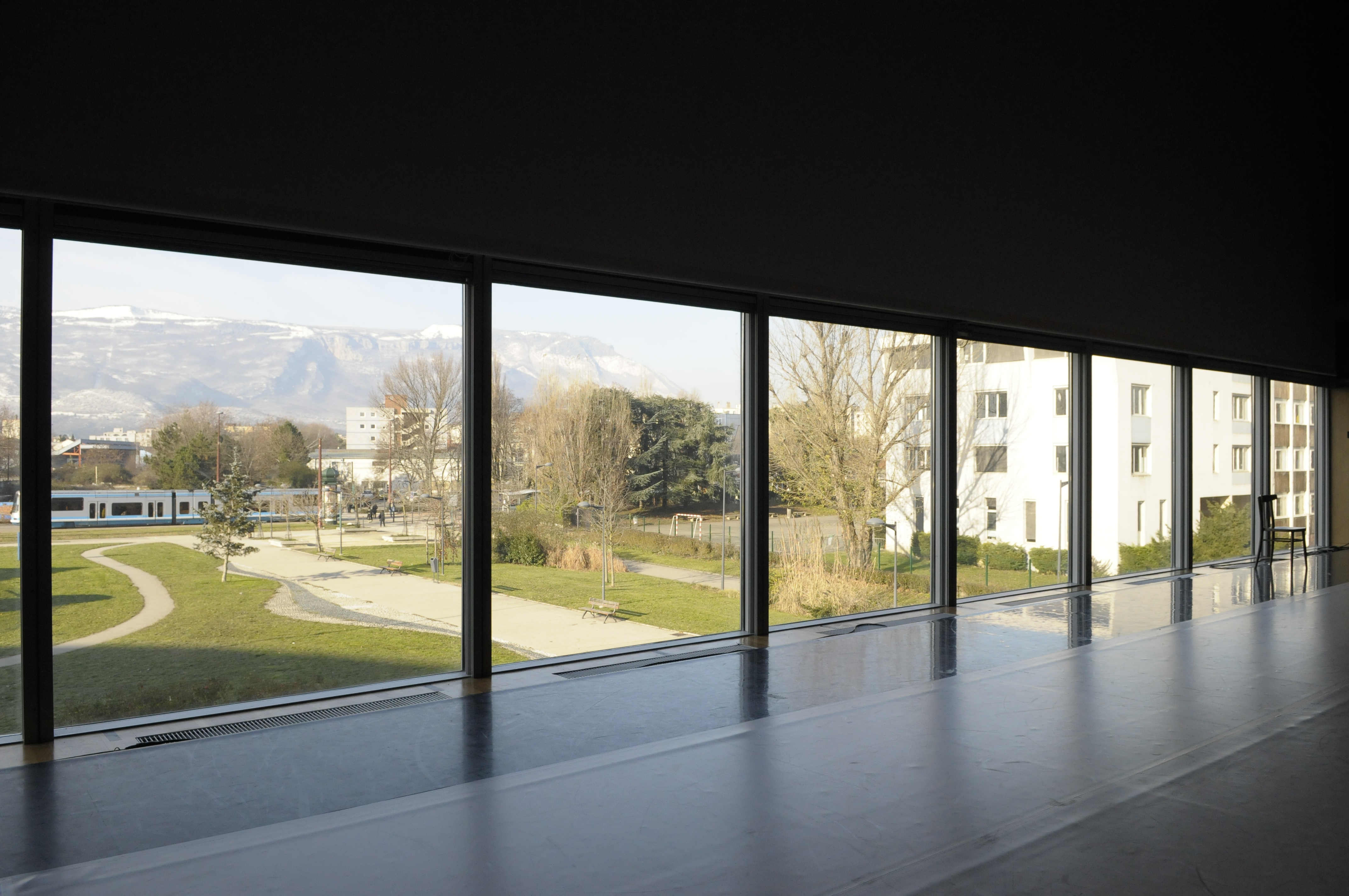
Close to Porte de France and the city center, the boulevard de l'Esplanade where you start your tour is equipped with parking spaces and is easily accessible by bike or streetcar E.
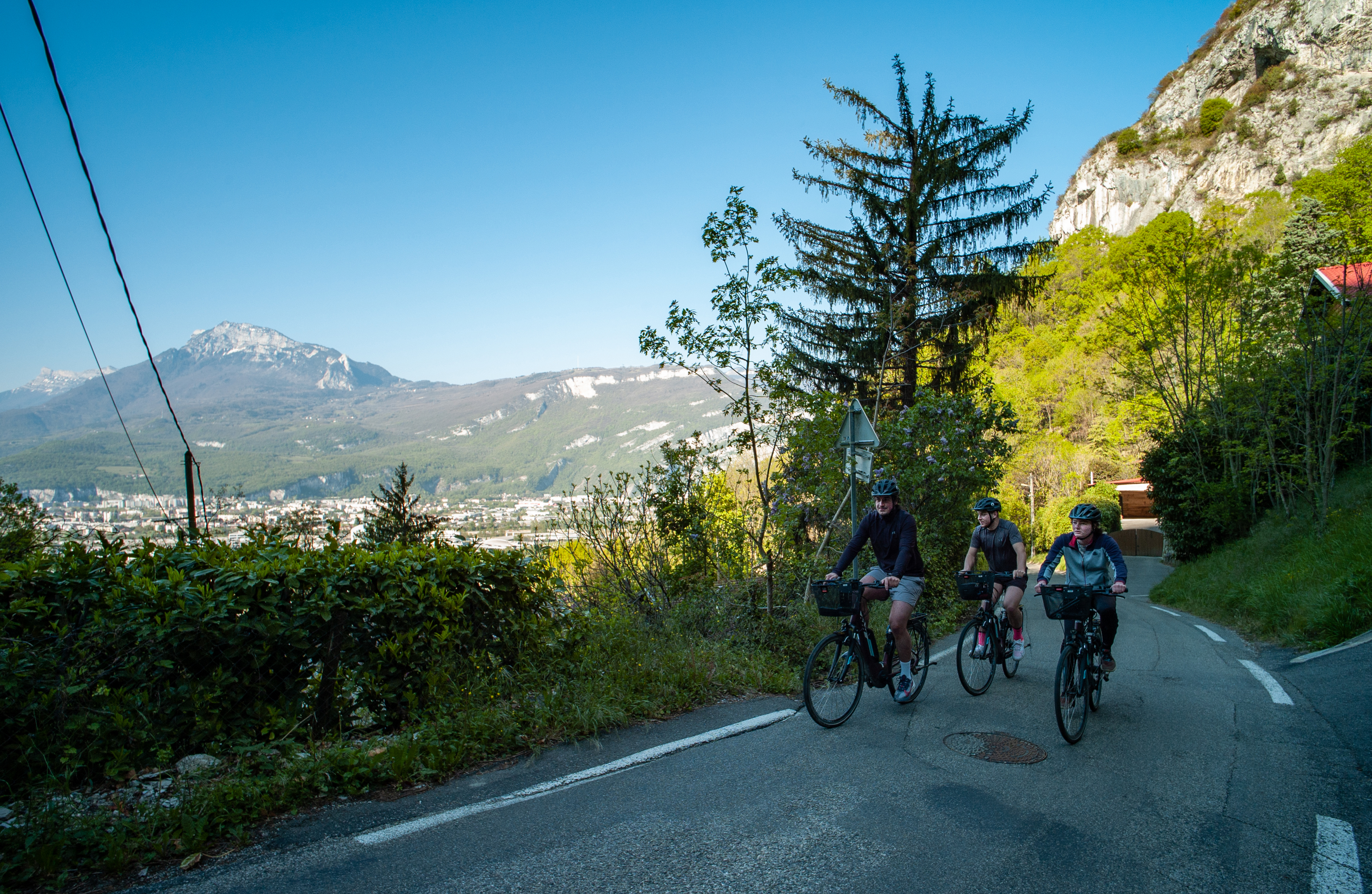
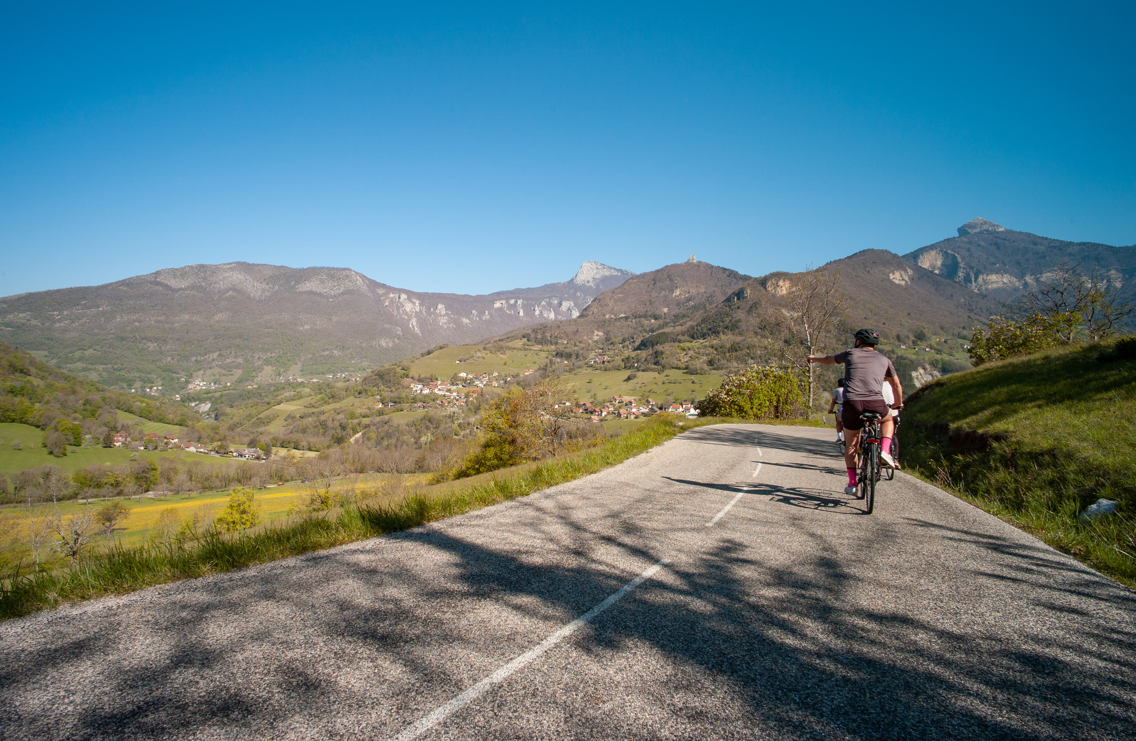
Soon after you set off, your ascent begins. After a brief breather at the Col de Clémencières, it picks up again to the Col de Palaquit. The second half of the route offers you a pure downhill winding descent for almost 15km.
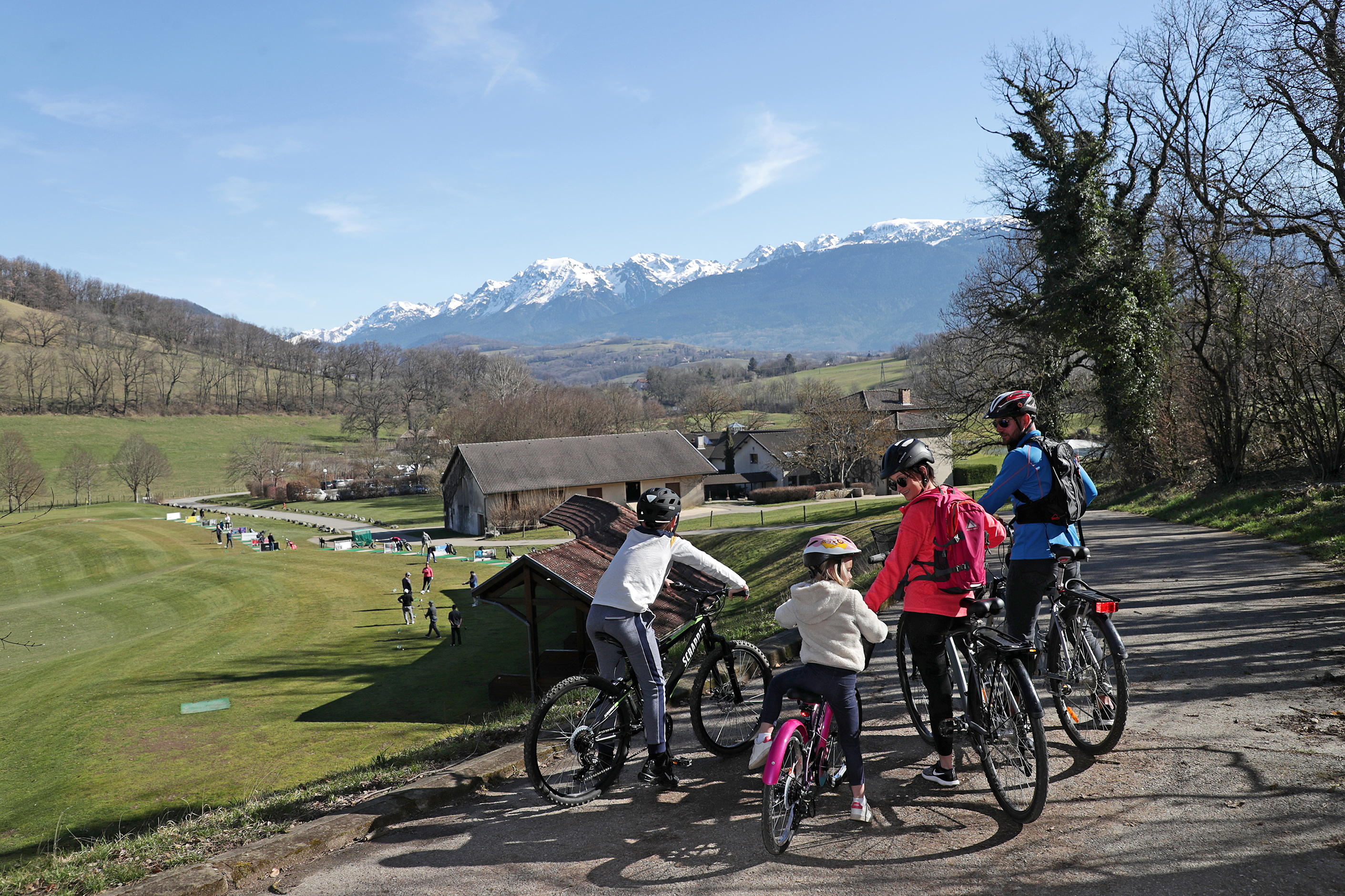
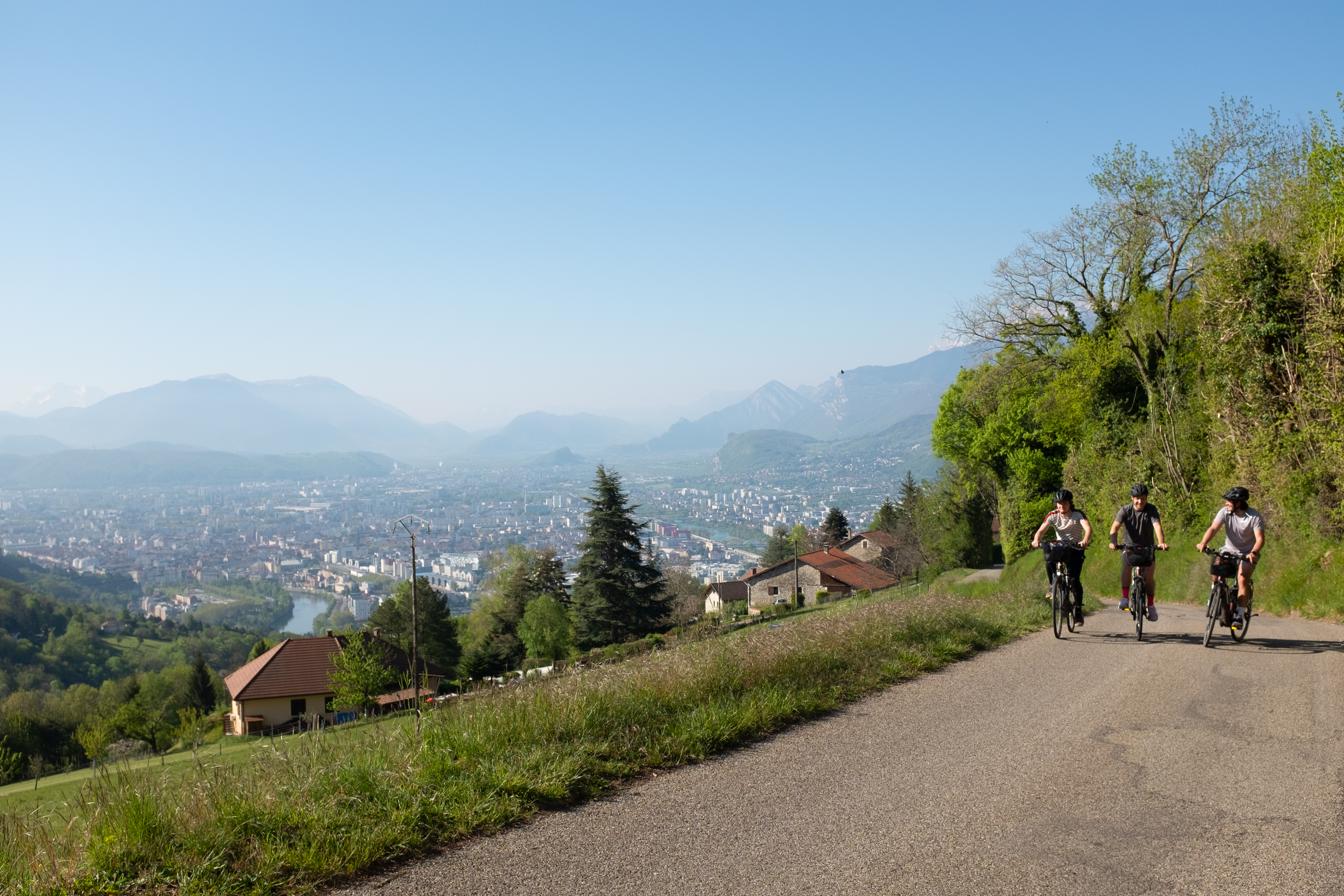
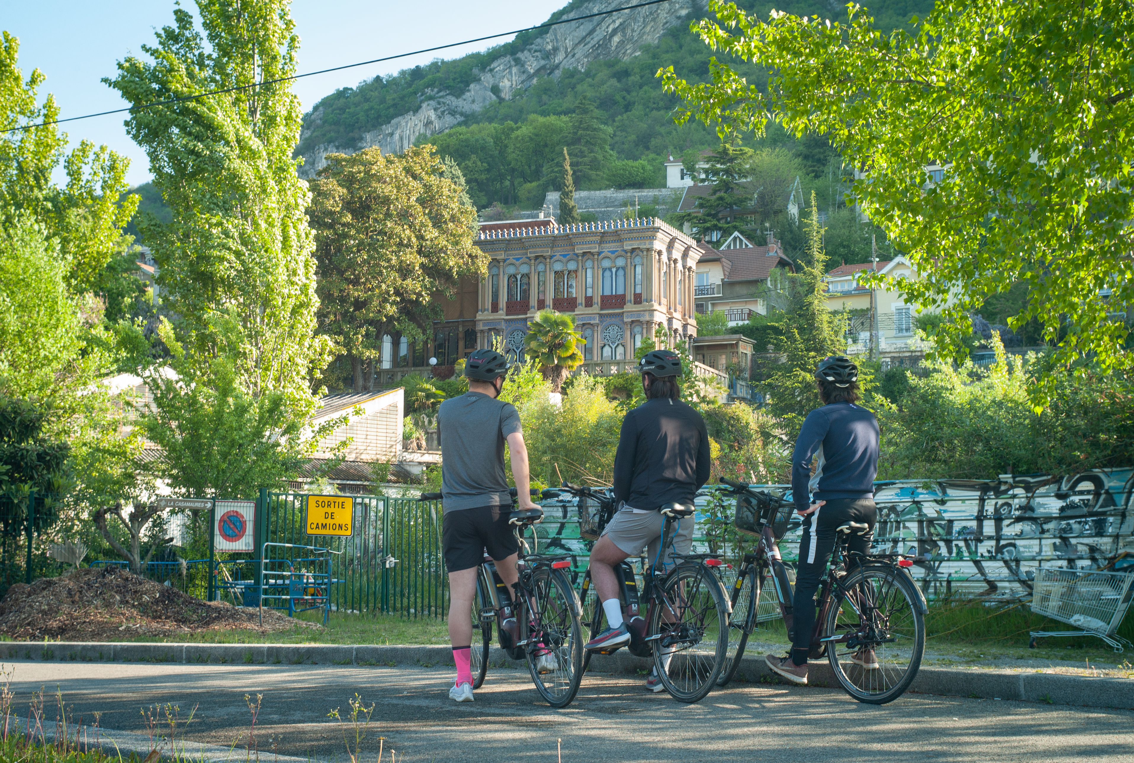
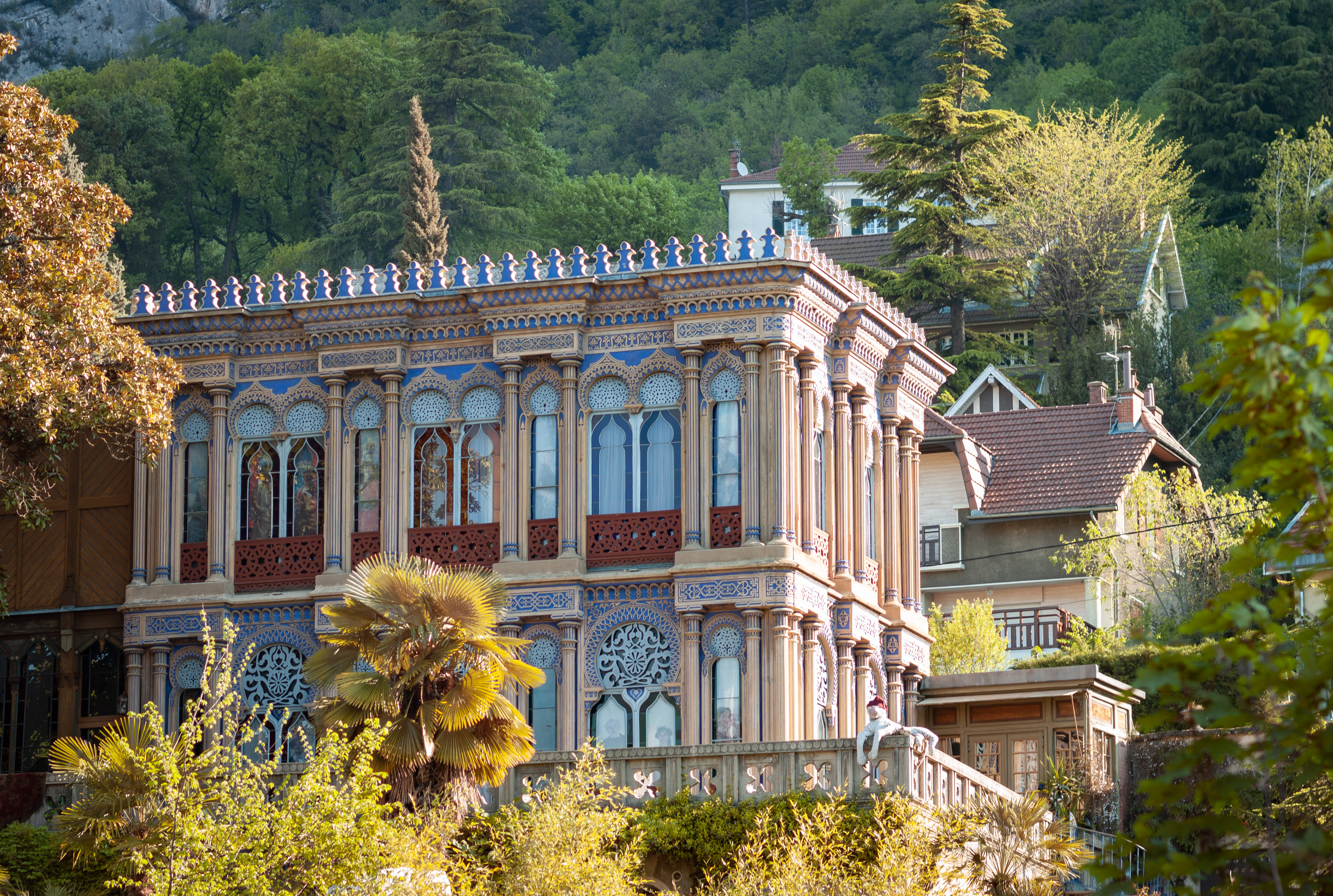
On the way up, you pass beautiful homes and charming chalets with breathtaking views over the valley. As the gradient rises, the undergrowth provides a welcome cooling effect. On the descent, you'll have to force yourself to concentrate on the road, as the panorama over Belledonne and the metropolis is so breathtaking.
From the parking lot, head north on Boulevard de l'Esplanade, then turn left onto Route de Lyon, using the cycle lane on the right-hand side of the road. Then follow the cycle path along the tramway tracks on the right.
Leave the cycle track on your right. Carefully cross Rue de la Résistance to take off on Rue de Narbonne, which takes you uphill for 4.5km, with sections at over 10%.
At Ripaillère, turn right towards Grenoble, Quaix, then left onto the D57, route de Clémencières, which becomes route de Sarcenas once you've passed the Col de Clémencières.
Leave the D57 for a few moments, turning right onto the Chemin de Bonnetière. At the end of the track, rejoin the D57 and continue climbing on the right. Just over 1km separates you from the Col de Palaquit, the highest point of your journey.
At the pass, turn right onto the Col de Porte road (D512). Follow this road downhill for 15km. Pass the Col de Vence, cross La Tronche and finally return to Grenoble along the banks of the Isère, whose course naturally takes you back to your starting point.
Photos
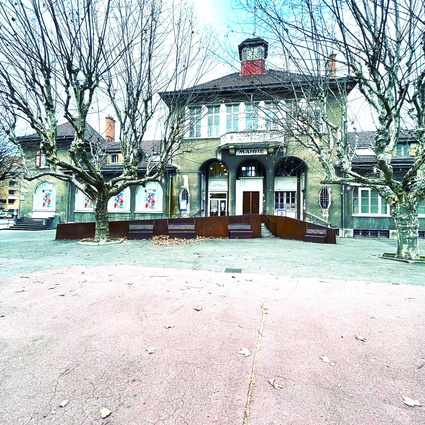
Shops, Services and Heritage Sites


You will also like