Sign up for the newsletter
ExploreCol de Maronne via Les Sûres - snowshoeing from Les Sûres
Routes
Very low slope <5% %
Low slope <7% %
Moderate slope <10% %
Steep slope <15% %
Very steep slope >15% %
Description
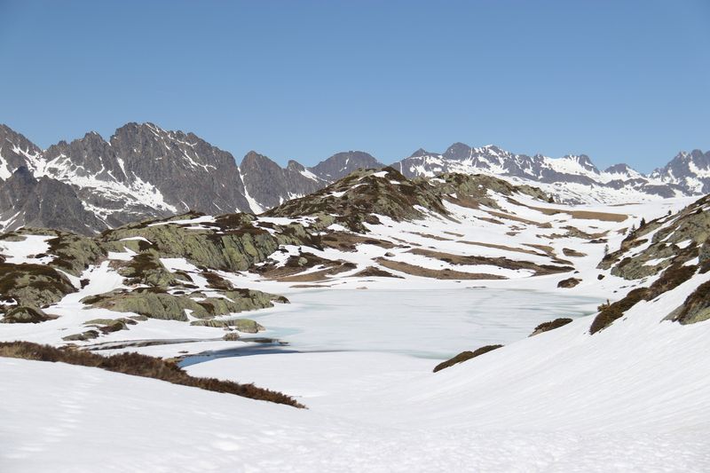
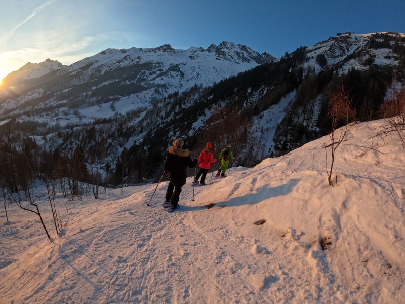
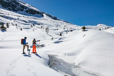
This loop will take you through the Piégut forest as well as the Sûres summit and the Col de Maronne! Perfect for winter sports enthusiasts: snowshoe itineraries with breathtaking mountain views.
TECHNICAL INFORMATION
Start: Last parking lot in the resort, at the top of Rue de Piégut
Distance: 5.73 km
Time: 2 h
Difference in altitude: 266 m
Level: medium
MAP AND TOPO
Pedestrian/Nordic" map of the Alpe d'Huez ski area
ITINERARY
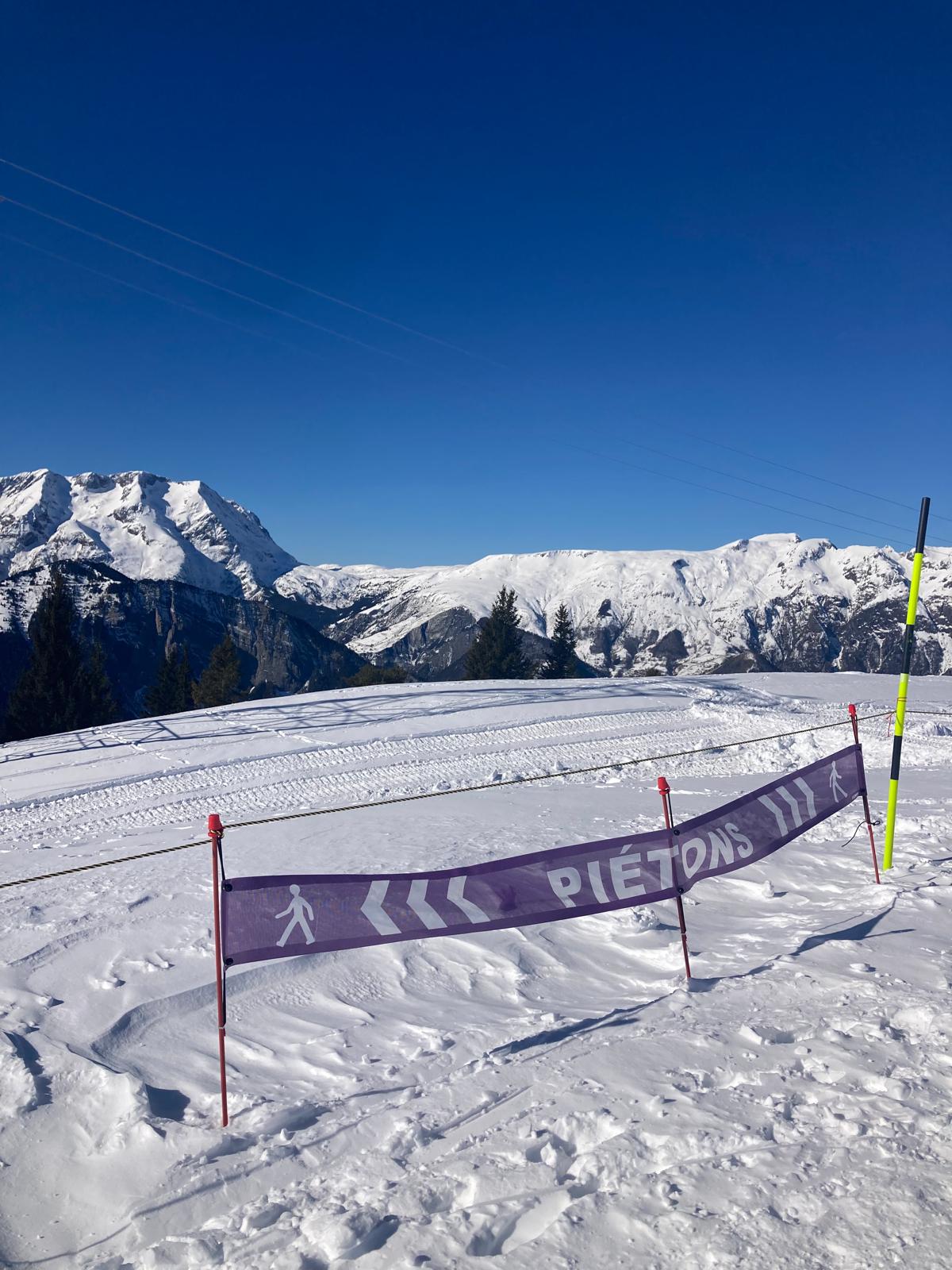
Start at the entrance to the resort's last parking lot. Take the slope that rises to the right of the parking lot. This section of piste is shared with skiers, so make sure you stay on the side of the piste. At the crossroads (just before the Forêt ski lift), take the left-hand path to stay in the Piégut forest (you can also turn right to take the trail shared by skiers and pedestrians). As you leave the forest, continue towards the summit of Les Sûres along the ridge of the same name.
At the summit, you can eat or drink at the Sol&Monta snack bar. You can then descend via the footpath that passes beneath the Sûres telemix to reach the Col de Maronne. Be careful, you may come across skiers again.
After the Col de Maronne, you can take the Col de Maronne path (chemin ribot) back to the resort.
To reach the start parking lot, cross the "Front de Neige" and walk around the ski school. Before the Place des Orgières, take the footpath that climbs up on your right.
At the top of the path, climb the iron staircase to the Place des Écrins, then cross the square going straight ahead. At the end of the square, you'll come to Rue de Piégut: turn right and walk up to the parking lot.
THINGS TO SEE ALONG THE WAY
Forêt de Piégut: Europe's largest high-altitude spruce forest.
Sol&Monta snack bar
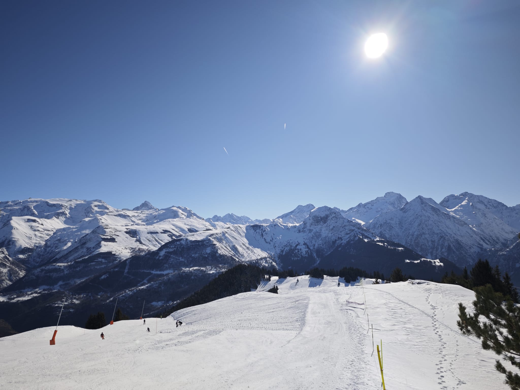
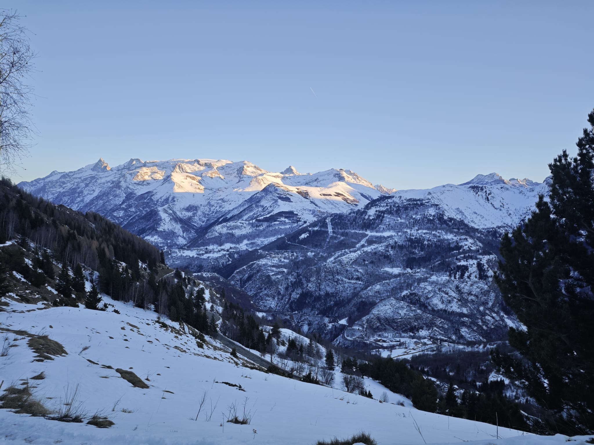
Views of Alpe d'Huez and the Écrins mountains
NEARBY ATTRACTIONS
Auris-en-Oisans resort and shops
Hamlets of Auris-en-Oisans
Photos
Shops, Services and Heritage Sites


You will also like