Sign up for the newsletter
Explore Hiking
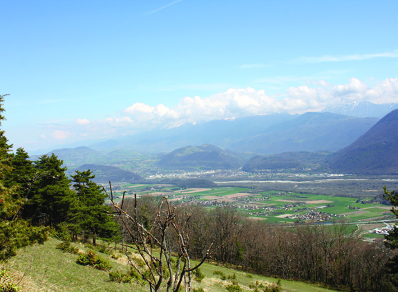
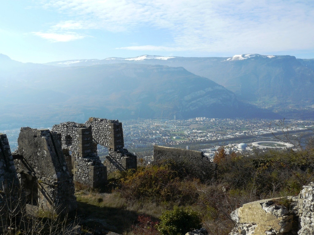
The Echaillon pass and the Uriol ridges from Saint-Paul-de-Varces
Routes
Very low slope <5% %
Low slope <7% %
Moderate slope <10% %
Steep slope <15% %
Very steep slope >15% %
Description
The tour of the Pieu from St Paul de Varces
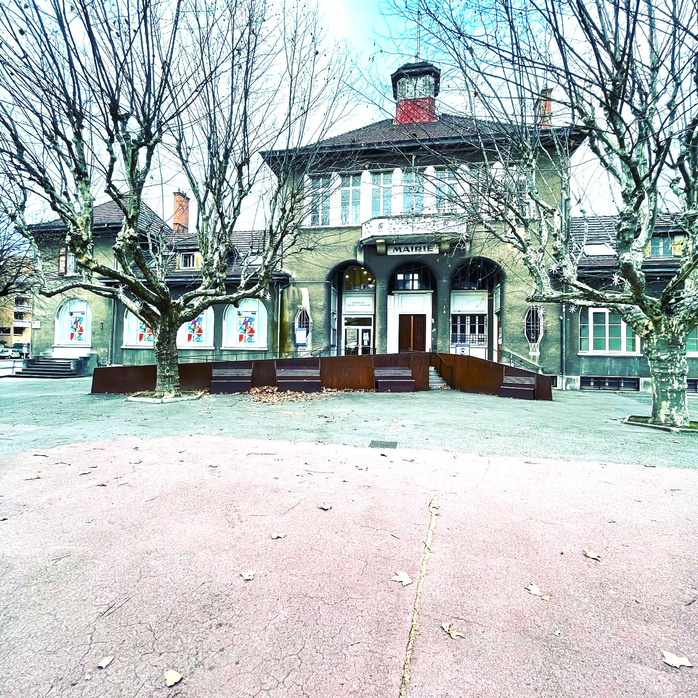
The departure will be from the parking of the town hall of Saint-Paul-de-Varces. From the Saint-Paul-de-Varces post, take the Charrière Chaude road to the right in the direction of " Prélenfrey " and " Ongrie ". At the place called " Ongrie ", go straight on the road for 1 km and turn left towards " Pont du Batou ". Go down the road and cross the "Pont du Batou". Immediately after the bridge, take the path on the right towards "Prélenfrey". Follow the path until the end of a large track at the level of "Les Rioux". Go straight on up to "Gros Moran" for 400 m. At the place called " Gros Moran " take the track which goes to the left towards " l'Echaillon ". Go up to the end of the fields and take the flat path of " Pierre Grosse " which will lead you to the " col de l'Echaillon ". At the level of the " col de l'Echaillon ", start to go down the track for about 20 meters in the direction of " Le Gua " and take on the left the path in the direction of " Vif " and " Uriol ". Go up the forest path which will lead to meadows offering an exceptional panorama. Follow the path along the edge of the meadows for 3 km until you reach "Uriol". At "Uriol", turn left on the track towards "St Paul de Varces" and "Crêtes d'Uriol" for 350 m. Then, leave the track and take the path on the right towards "Crêtes d'Uriol" for 17O m and take the small path on your left. Turn right towards "Crêtes d'Uriol" at the end of this path on the track. Continue on the track for 150 m and take on the left the path that goes up to the "Crêtes d'Uriol". At the "Crêtes d'Uriol", continue on the path going down towards "Brise Tourte". Be careful to follow the paint markings and be sure not to take the left-hand path blocked by a cross. Go down the path to "Brise Tourte" and turn left on the narrow, winding and steep path for a few passages towards the "Forêt du Gerbier". At the place called "Forêt du Gerbier" do not cross the torrent of La Lampe again but go down 10 m and take on the right the small winding path towards "Le Charmas". At "Le Charmas", turn left on the track, reach the road and follow the direction of "St Paul de Varces" until the end. From the "chemin du Charmas", go straight on the "chemin des Bérards". Turn left on the chemin du Bémont and turn right on the chemin neuf until the end of the route du Vercors. Turn left and return to the starting point.
Photos
