Sign up for the newsletter
Explore Hiking
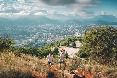
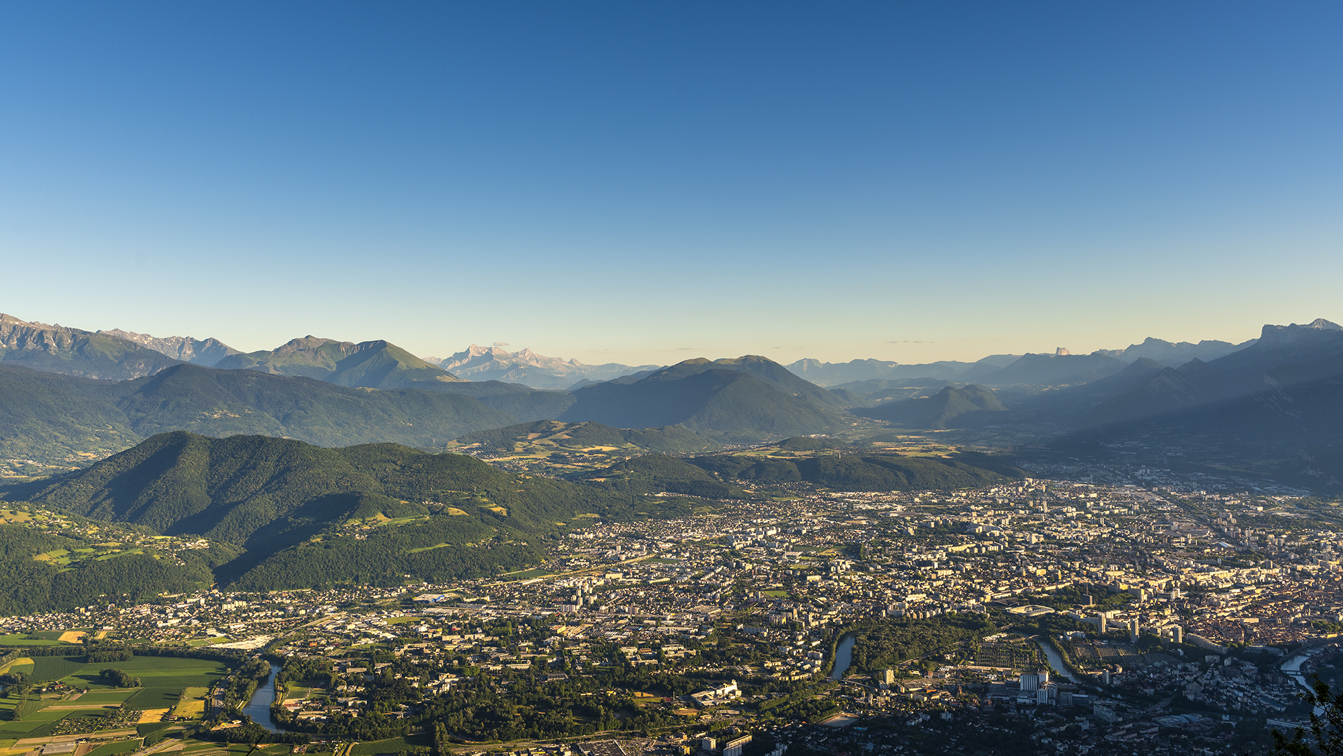
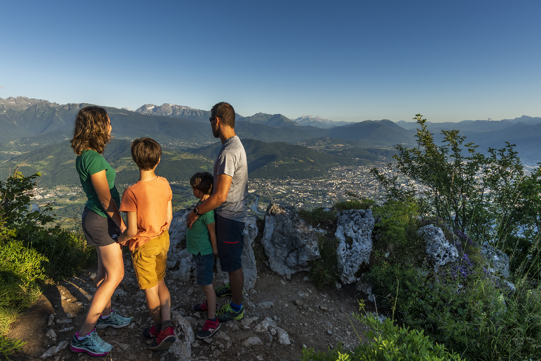
The Saint-Eynard fort
Routes
Very low slope <5% %
Low slope <7% %
Moderate slope <10% %
Steep slope <15% %
Very steep slope >15% %
Description
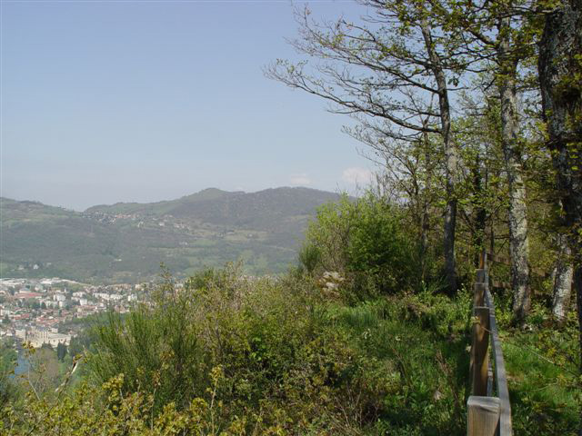
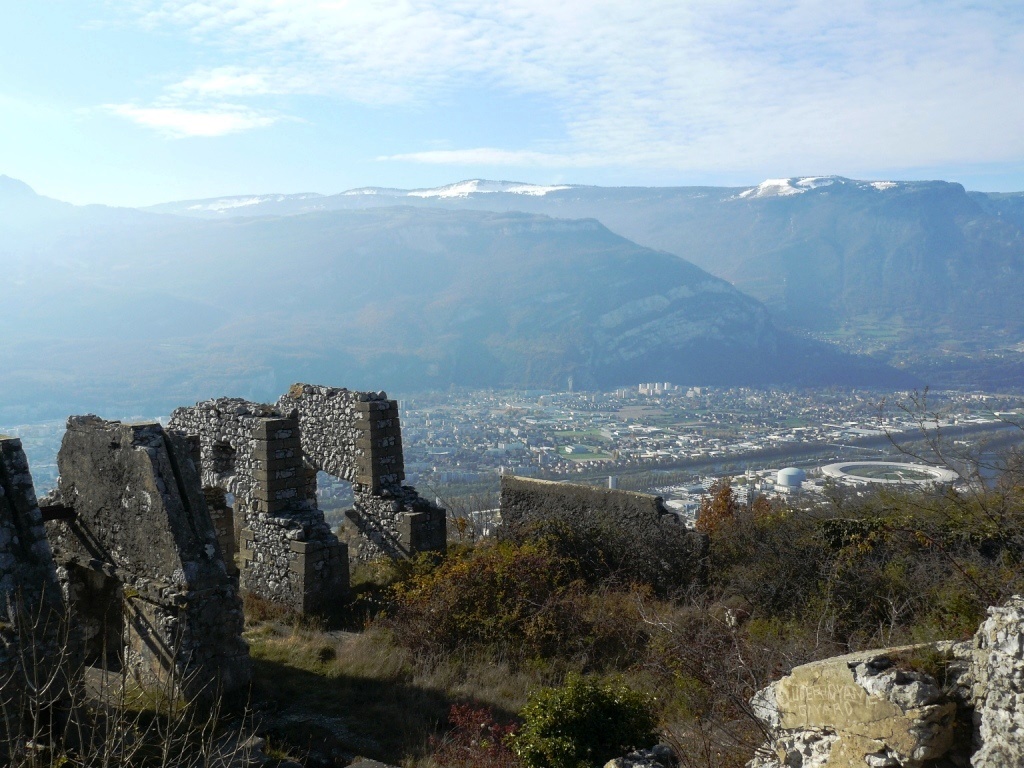
Overlooking the Grésivaudan, this foothill of Chartreuse pushes the perspective on Belledonne and even the Mont Blanc. However, you have to be careful here on the summit ridge near the cliffs, especially with children.
From the Saint Eynard fort parking lot (alt. 1,312 m), start your hike along the barriers overlooking the cliffs, with the Grésivaudan on your right. Here you follow the white-and-red-marked Grande Randonnée (GR) trail no. 9. At the end of the lookout, turn left around the small cliff face, then right along the ridge towards Le Sappey church. This will take you along the top of the cliffs for about 2 km. Be careful, especially with children. Approximately 1.5 km after you set off, the GR makes a small detour to the left, and occasionally moves away from the cliffs, only to return to them very quickly. This brings you to Pré du Plat (alt. 1,330 m), where you really begin your descent, still on the GR, towards Le Sappey church. The path crosses a large track, then turns right the next time. At the next intersection, continue right to reach the top of a ski slope in Le Sappey-en-Chartreuse. You'll then have to wind your way down it until you reach the accrobranche course and the sign for the Grand Sommard ski lift (alt. 1,080 m). Turn left uphill towards Les Pillonnières. Here you leave the white and red markings of the GR 9, and follow the yellow markings. After crossing a meadow, the path slopes downwards and joins the road at La Faurie (alt. 1,003 m). Take the asphalt on the left, still heading for Les Pillonnières via the "chemin de Bordelière". Keep your feet on the road until you see the Pillonnières signposted path on the left (alt. 985 m). (Caution: the name of the place is no longer on the sign, nor the altitude.) Leave the road and turn left, rising towards the Saint Eynard fort. Always follow the yellow markings, turn right at the first fork, and at the next crossroads, continue uphill until you reach the edge of the road to the Fort, at a bend in the road.
du Fort, in a right-hand hairpin bend (Caution: the markings tend to indicate that you should continue straight ahead over the bend, and not take the road). Make sure you don't continue straight ahead on the path, but take the road uphill for about 50 m, to fork left onto the track that climbs up. This takes you back to the ridge at the top of the Saint-Eynard cliffs. Just turn right to return to your starting point.
Points of interest
- The Saint-Eynard fort
- View of the Grésivaudan
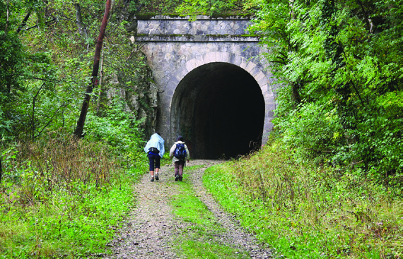
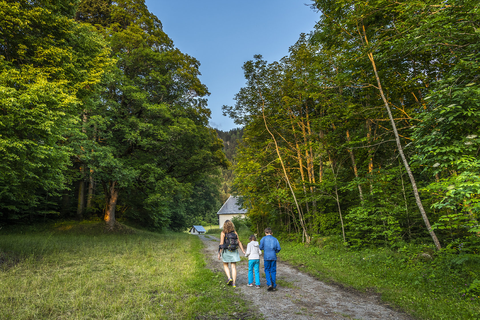
- The forest
- The Saint-Eynard ridge
Photos
Shops, Services and Heritage Sites


You will also like