Sign up for the newsletter
Explore VK
VKKilomètre Vertical Saint-Martin de Queyrières
Routes
Very low slope <5% %
Low slope <7% %
Moderate slope <10% %
Steep slope <15% %
Very steep slope >15% %
Description
New KMV from Sainte Marguerite! (commune of Saint-Martin de Queyrières)
It is part of the 2020 KmV Challenge.
The start of this route is towards the fountain in the centre of the hamlet of Sainte Marguerite.
Share your photos on social networks with #stationdetrailecrins.
The definition of the "Vertical Kilometre" is simple: 1000 metres of vertical drop over a short distance, the steeper the slope the more difficult the KV is!
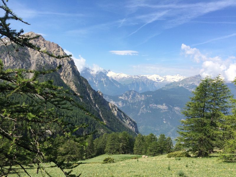
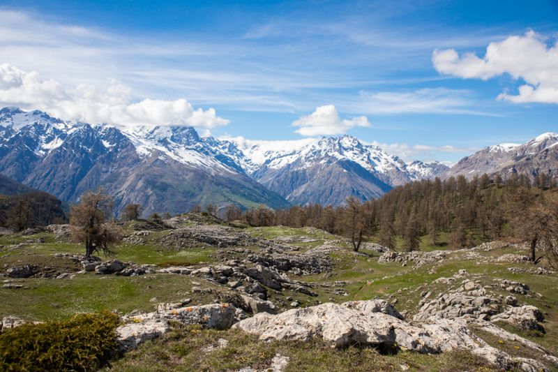
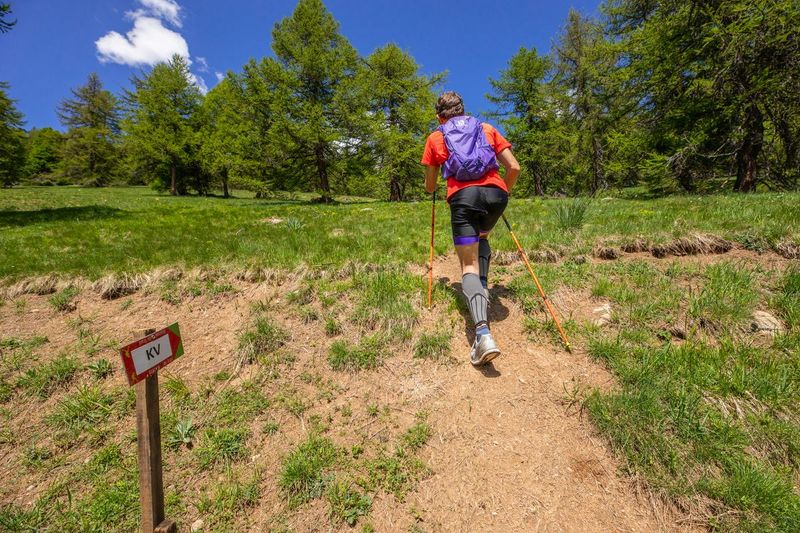
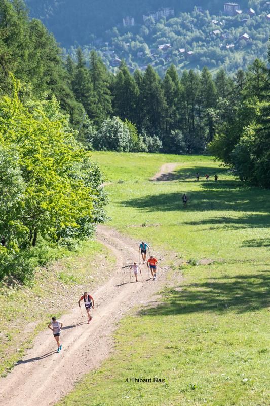
This KV offers you 1159m of vertical drop for 4.5km of distance. It is a very difficult Vertical Kilometre in the Trail Station of the Pays des Ecrins. The itinerary uses a path that first cuts through the forest track, then a very steep path that leads you to the Oriol de Sainte Marguerite. Then the route rises and as you leave the forest, a steep slope leads you to the Crête des Queyrelets which culminates at 2420m.
Marks are positioned every 200m of difference in altitude on the route, they serve as landmarks during your ascent or to carry out your training by splitting the climb.
The descent is on the same route as the ascent.
Climbing Speed (VA) : if you do a KmV in 1 hour, your VA will be 1000 m / hour. This VA will be higher if you are in better shape and if the slope is steep.
The definition of the Vertical Kilometre: 1,000 metres of gradient over the shortest possible distance
Objectives :
The objectives of this type of training is to increase your ability to make long efforts on slopes and to increase your ascent speed by doing training in long and very long intervals. This will allow you to go faster during the long climbs of classic Trails and KV competitions which are becoming increasingly popular.
To prevent herds from escaping, close all fences securely.
Bring back all your garbage,
Don't cut routes through the meadows.
Download this route before you leave and let the Trail Running Resorts app guide you on all the routes.
Photos
