Sign up for the newsletter
Explore Hiking
The Garlaban
Routes
Very low slope <5% %
Low slope <7% %
Moderate slope <10% %
Steep slope <15% %
Very steep slope >15% %
Description
This hike leads to the summit of Garlaban, where you can discover the Douard engravings.
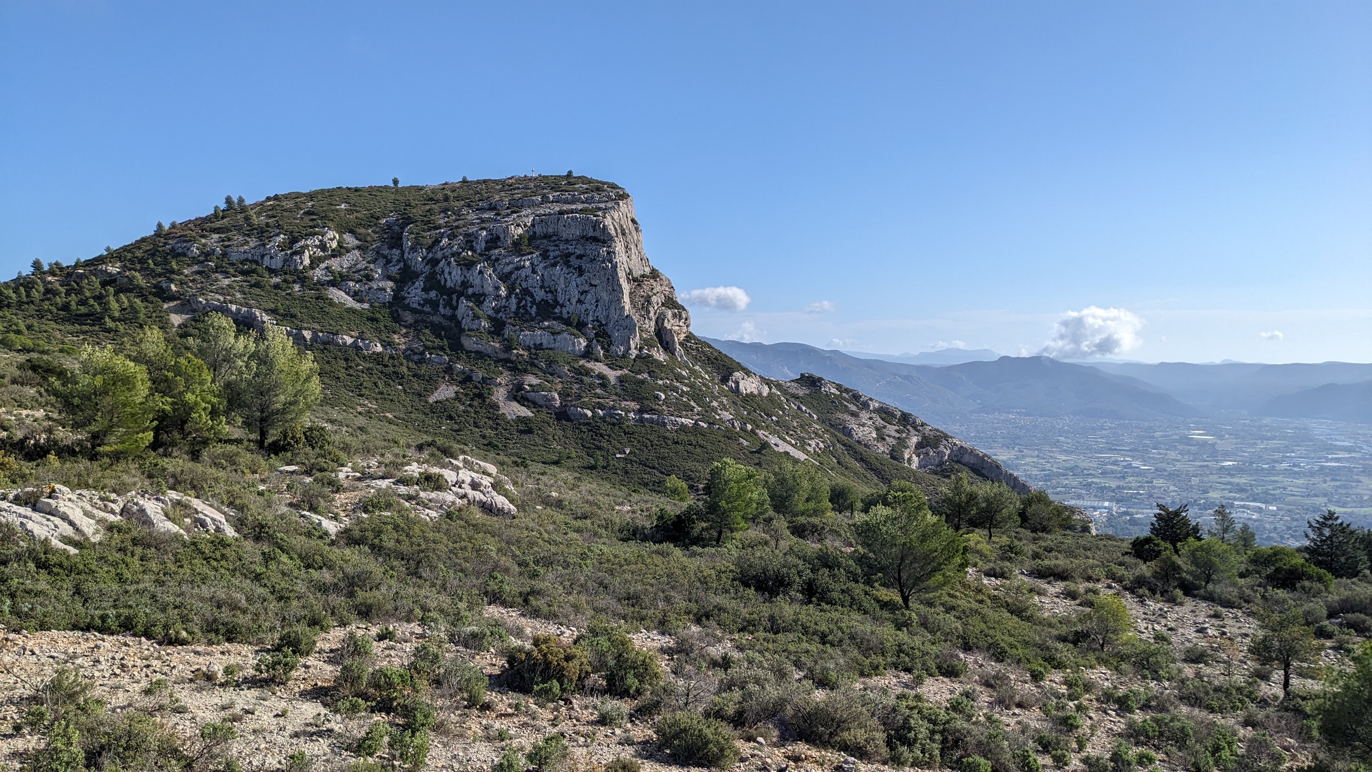
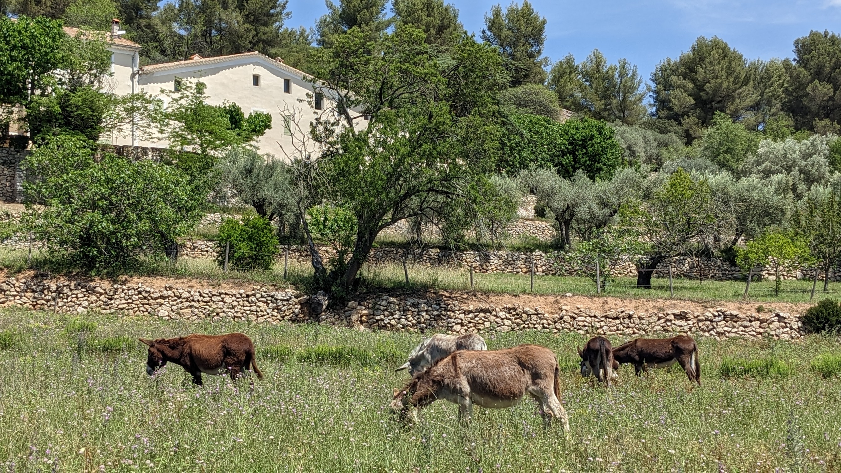
The Garlaban, which rises to 714 metres, is easily distinguished when you're in the south-eastern part of the Bouches-du-Rhône département. Whether arriving from Toulon or from the sea, it dominates the landscape. Its shape is so distinctive that it served as a landmark for sailors navigating the Marseilles roadstead. Some even describe it as the crown that sits atop a hill so dear to Aubagne-born writer Marcel Pagnol.
The Garlaban and its surroundings, whether in Marseille or Aubagne, were Marcel Pagnol's favorite playground as a child. He later made it a central element in his work. Let's recall the opening lines of his first novel, "La Gloire de mon père": "I was born in the town of Aubagne, under the goat-crowned Garlaban, at the time of the last goatherds. Garlaban is an enormous tower of blue rock, planted on the edge of the Plan de l'Aigle, the immense rocky plateau overlooking the green Huveaune valley. The tower is a little wider than it is tall: but as it rises out of the rock at an altitude of six hundred meters, it towers high into the Provencal sky, and sometimes a white July cloud comes to rest there for a moment. So it's not a mountain, but it's no longer a hill: it's Garlaban."
The starting point for the hike is at the "Gastaude" bus stop, where there is also a parking lot.
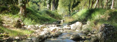
Join the Chemin du Ruissatel and follow the brown signposted path "Font de Mai, sentier Marcel Pagnol".
Enter the Font de Mai park and pass in front of the large bastide. After the bastide, fork left to join the Font de Mai road, which you can follow along a path that runs between oak and pine trees. You'll pass an excellent gourmet restaurant, l'Auberge la Ferme.
At the crossroads with Chemin du Ruissatel, continue straight ahead on Chemin de la Font de Mai, which winds its way up to Col d'Aubignane. From here, follow the yellow markings to the Garlaban.
Shortly afterwards, there's a narrower path on your right. Follow it until you reach a sign suggesting a 100-metre detour to the Manon cave.
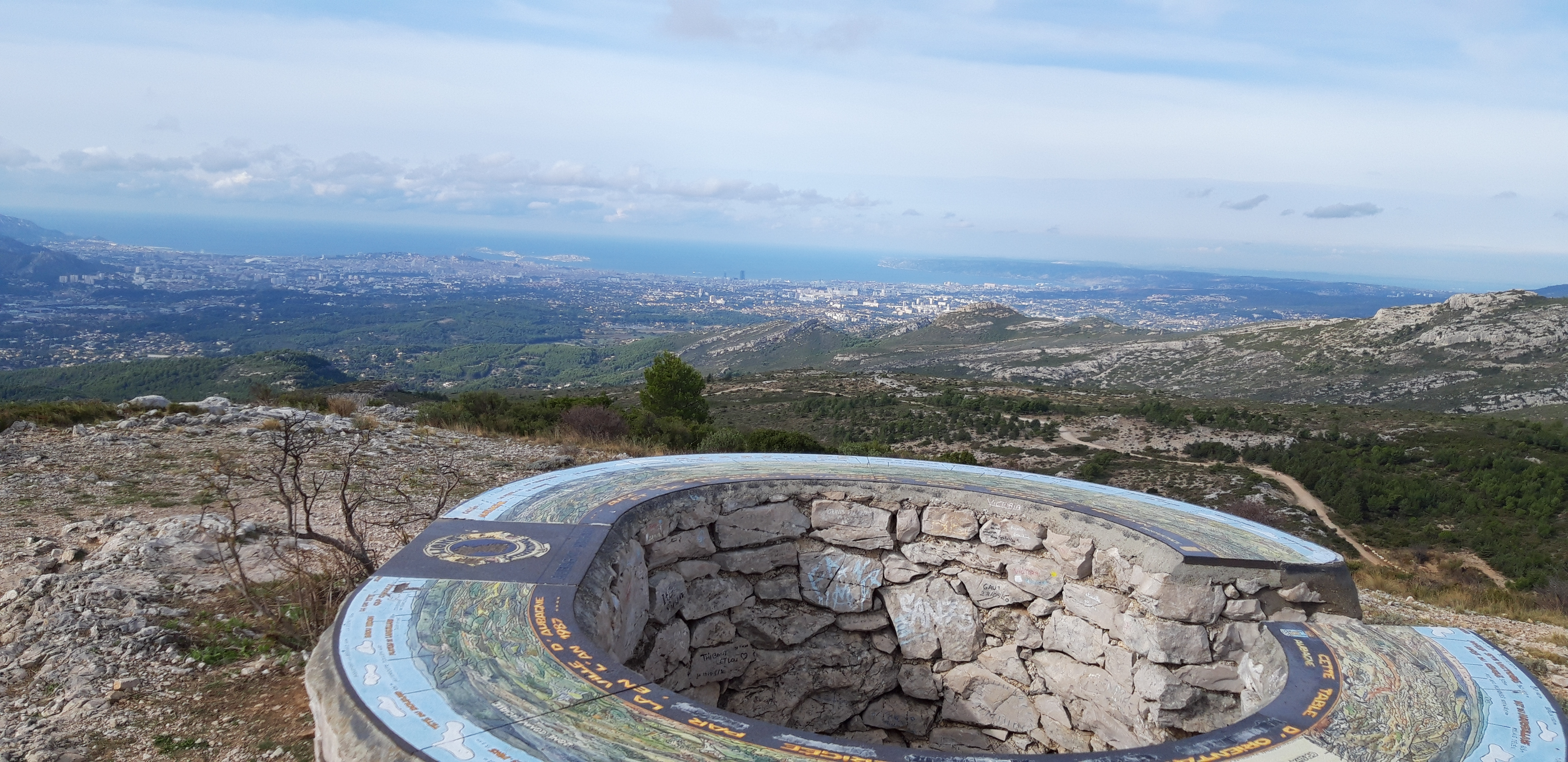
Then return to the gently ascending corbelled path. Pass the Col Salis and continue on to the Pas Garrigue, a small steep slope, as we like them in Provence, to reach the Col du Garlaban. From here, it's just a short climb to the summit of Garlaban. The path zigzags through the garrigue. Yes, it's tough! But the panoramic view from the summit is your reward. It's sublime! An orientation table helps you decipher the landscape at your feet. You are the kings of Provence.
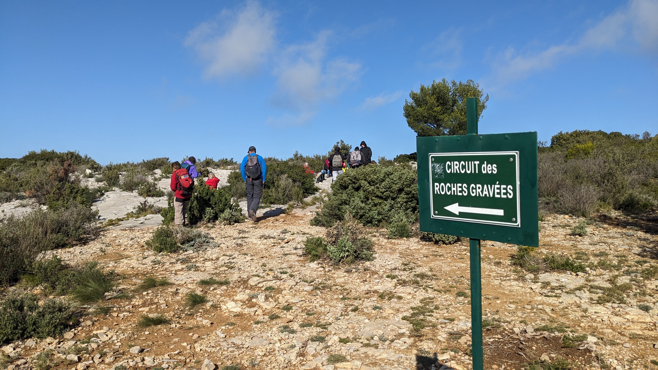
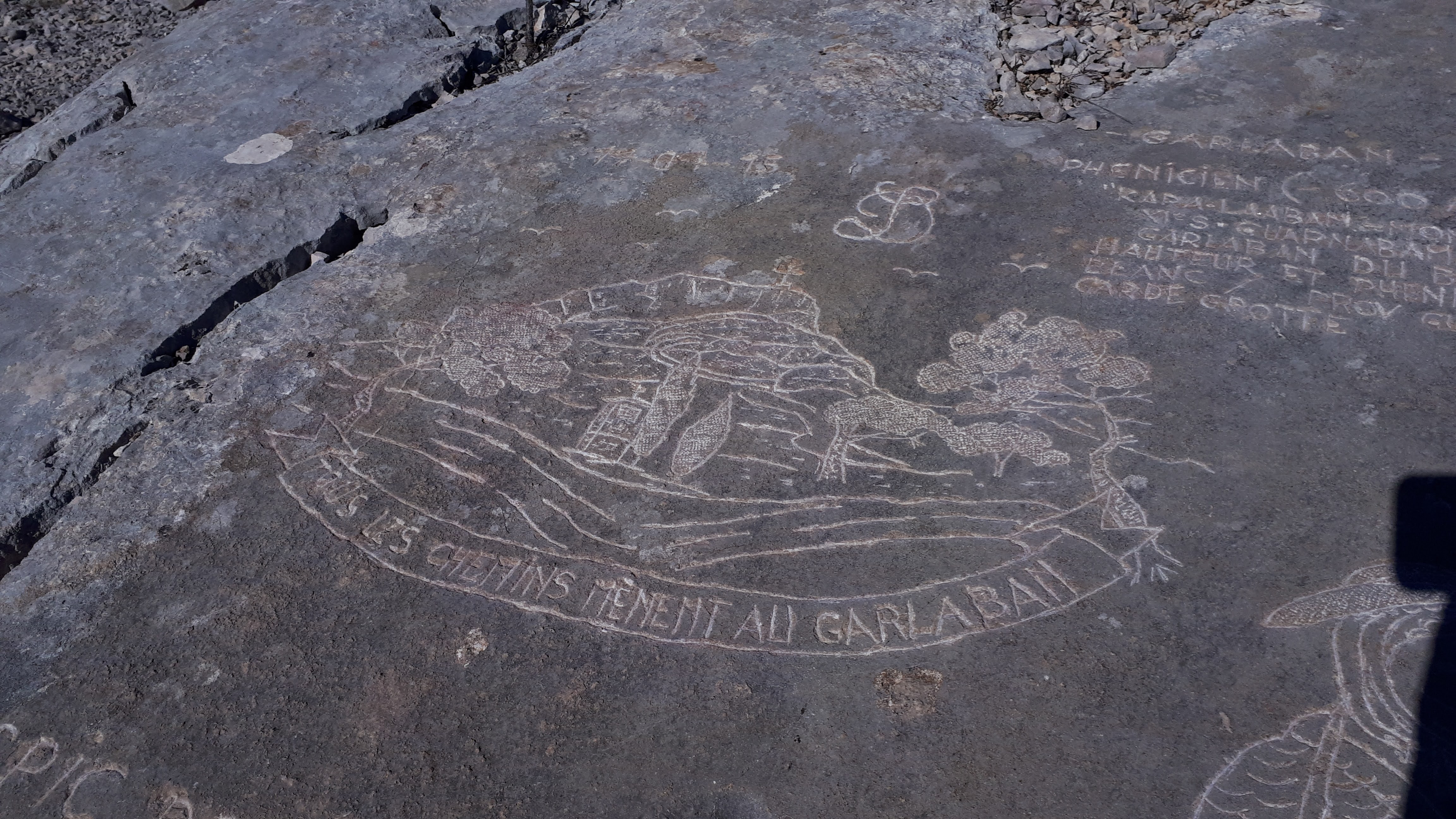
Return to the Col and turn left onto the wide path leading down to the plain. On either side of the path, you'll discover engraved stones. The path overlooks the Draioulet valley, whose name comes from "petite draille", a reminder that it was once a transhumance route used by shepherds.
A shortcut takes you straight downhill for 250 metres, avoiding 4 bends, before reaching an intersection where you must turn left to reach the park and the Font de Mai bastide more directly.
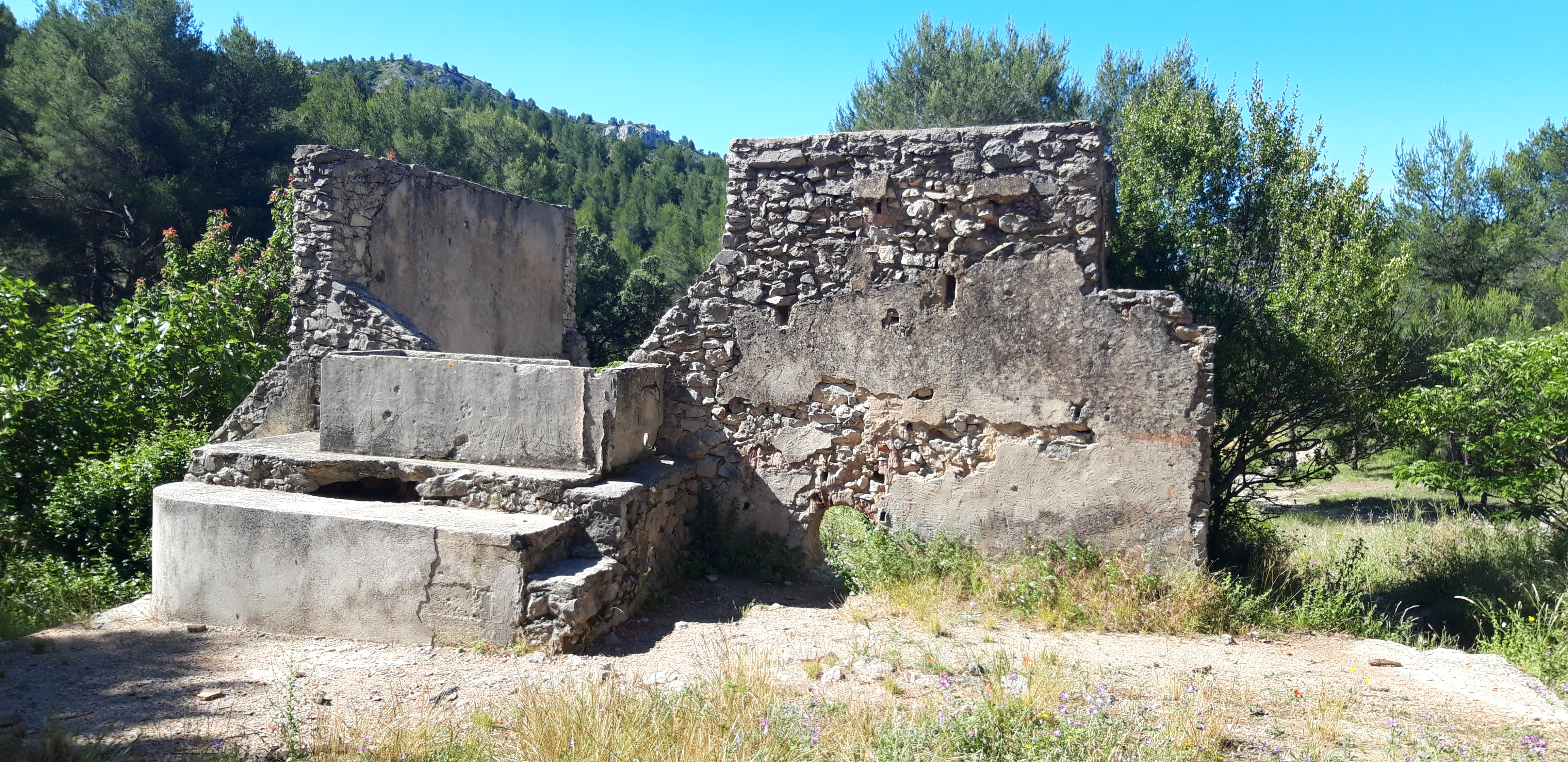
After a 950-meter walk, you reach the edge of a hill. 4 circular cement shapes (remnants of an old high-voltage line support?) are the markers for turning left onto a path that zigzags downhill. Another landmark you'll pass: the ruins of a sheepfold. You then come to a wide DFCI track which you must take to the right, rounding a hill dominated by a rocky peak.
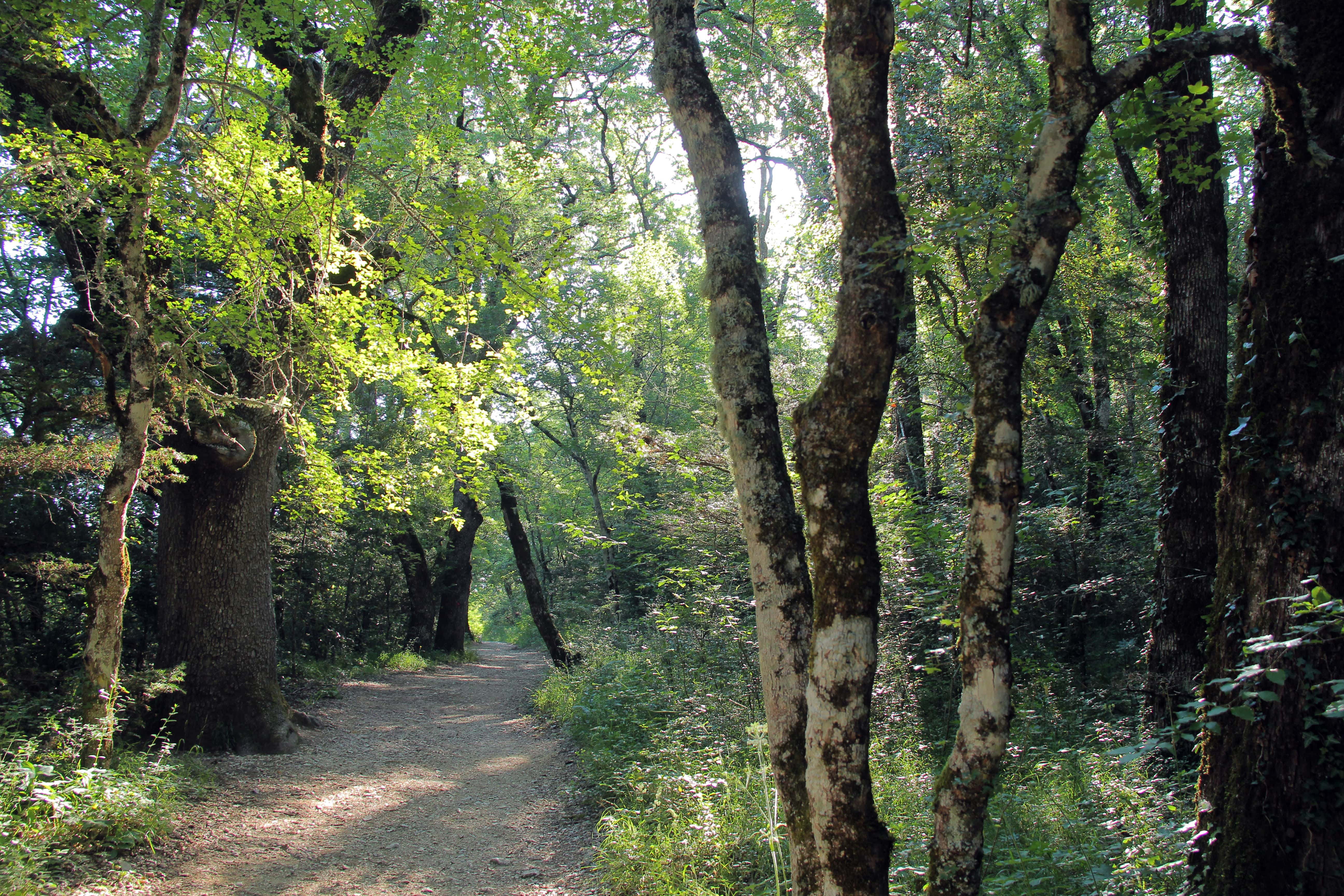
Keep to the path along the rocky ridge. The Font de Mai estate can also be reached via an alternative route at the bottom of the valley, but the view is less unobstructed.
Finish the hike by following the same section back to the parking lot or bus stop.
Photos
Shops, Services and Heritage Sites


You will also like