Sign up for the newsletter
Explore Hiking
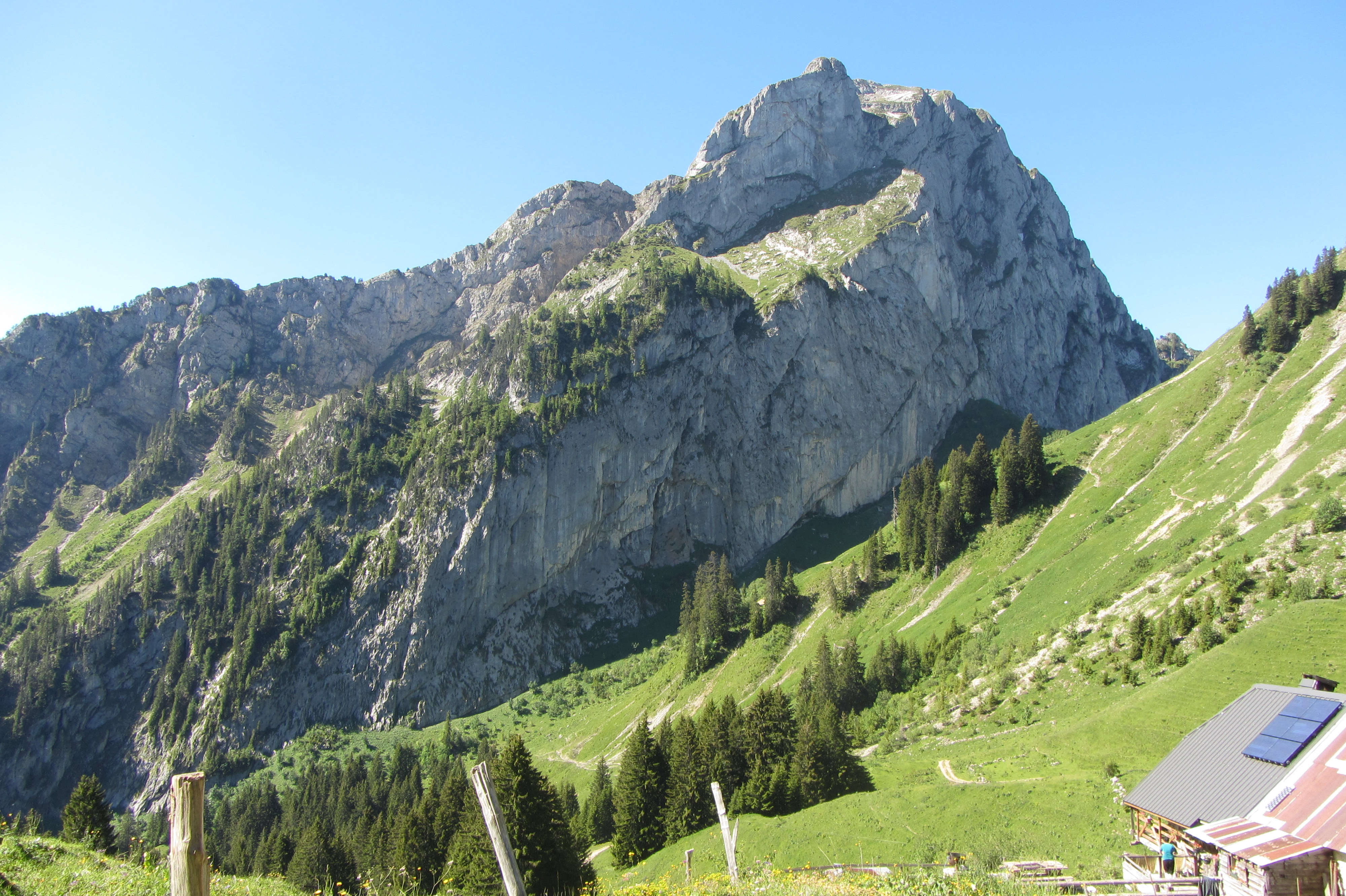
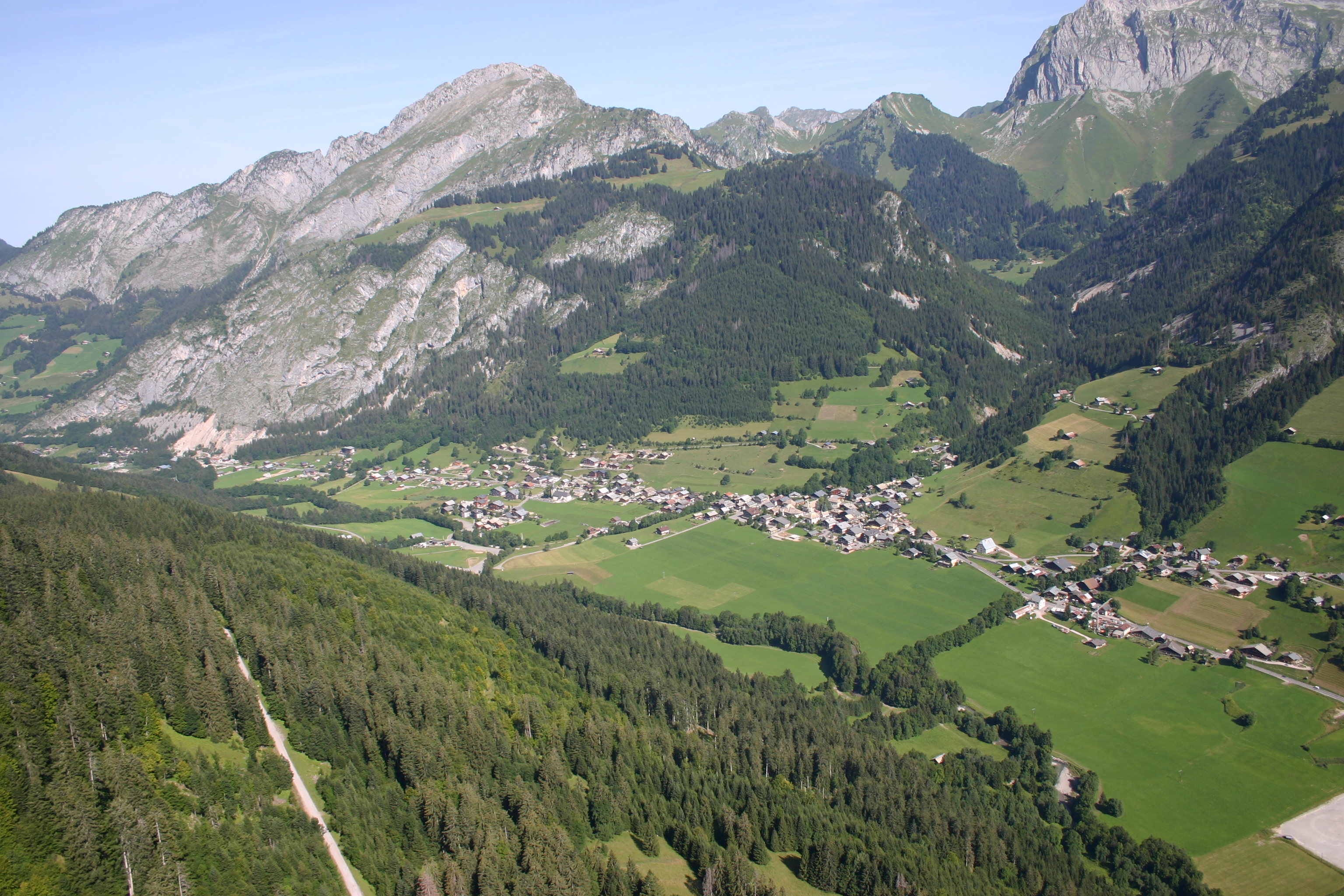
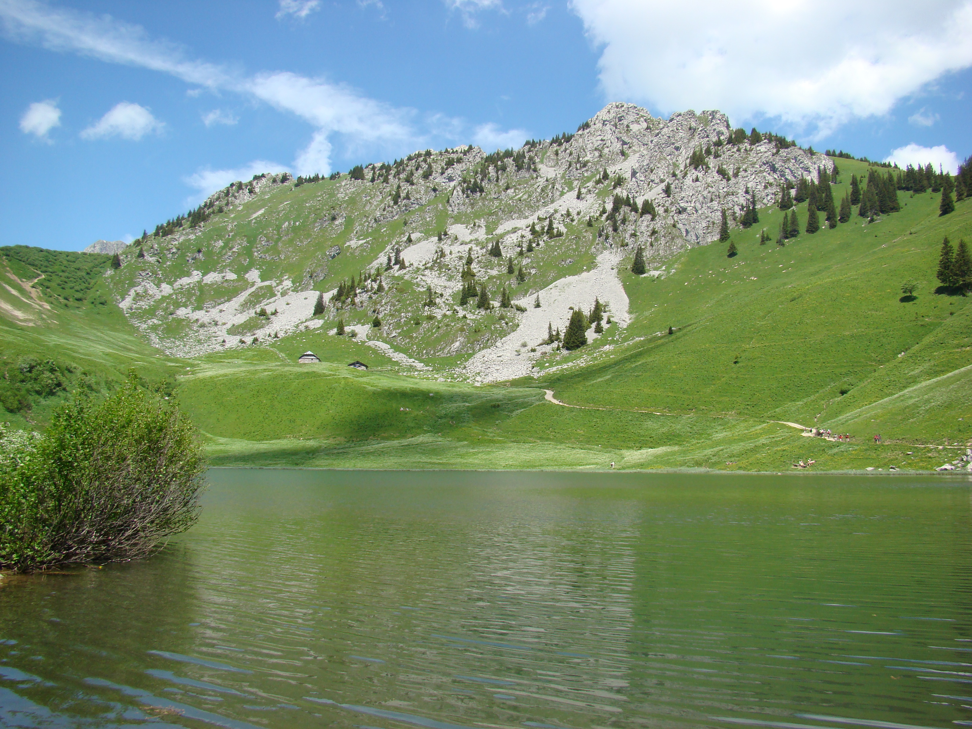
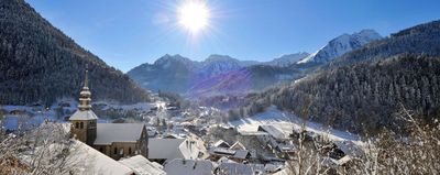
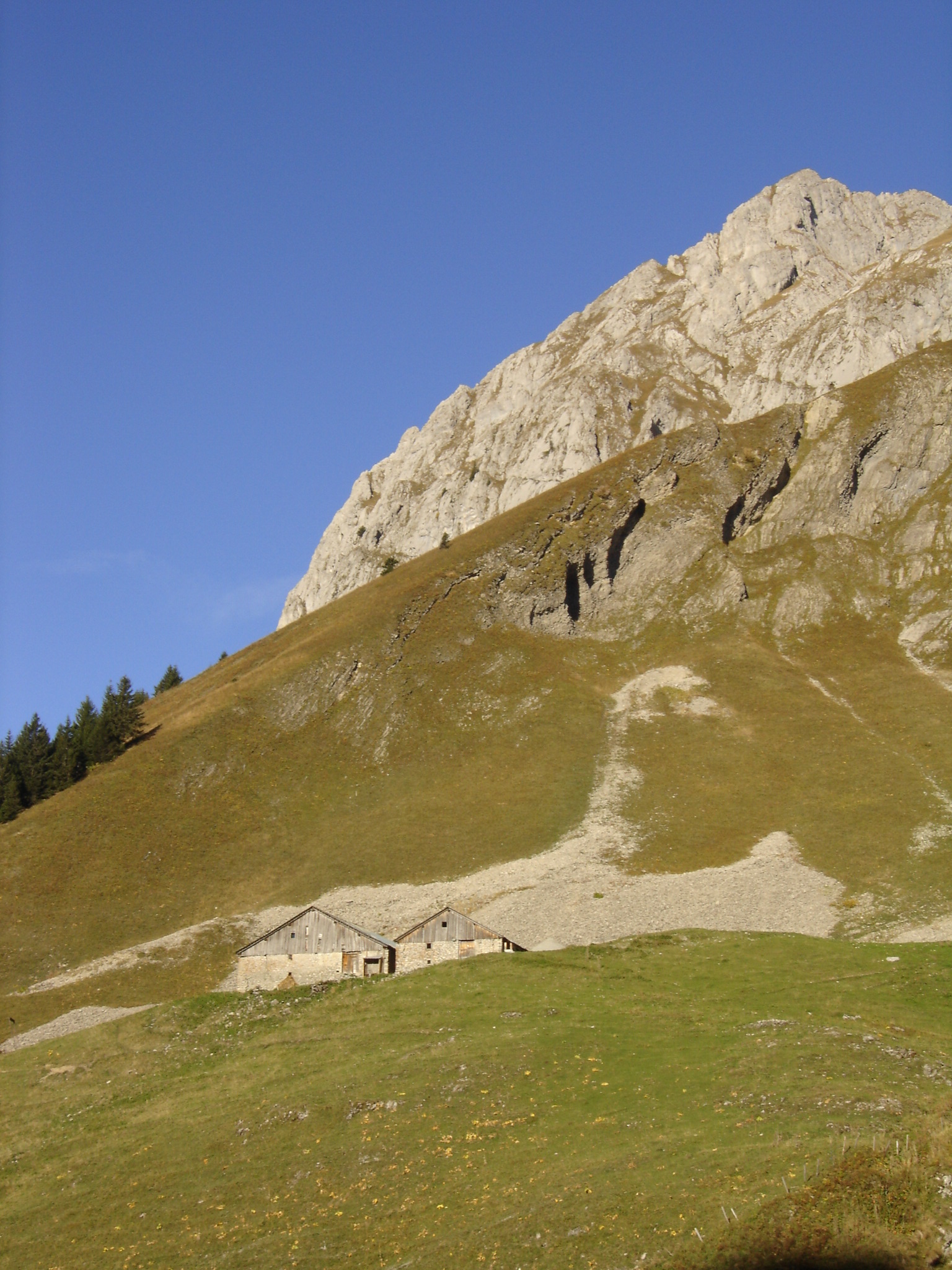
Les Cornettes de Bise from Chevenne
Routes
Very low slope <5% %
Low slope <7% %
Moderate slope <10% %
Steep slope <15% %
Very steep slope >15% %
Description
A common route for the Cornettes de Bise when you live in the upper Abondance valley. A long route with elevation gain, which leads into a sumptuous setting.
This hike is designed for sporty, good walkers. A number of exposed aerial passages require great vigilance. A good physical condition, an early start and a steady pace are the secrets to a successful hike.
From the parking lot, head north on a wide track towards the Col de Vernaz. Cross the right bank of the Ruisseau de Chevenne and continue north-northeast.
At a fork, turn right onto a path (leave the wide track and go left towards Crêt Pèzerin). Keep parallel to the stream, then turn away from it and, after a few hairpin bends, reach the Col de Vernaz.
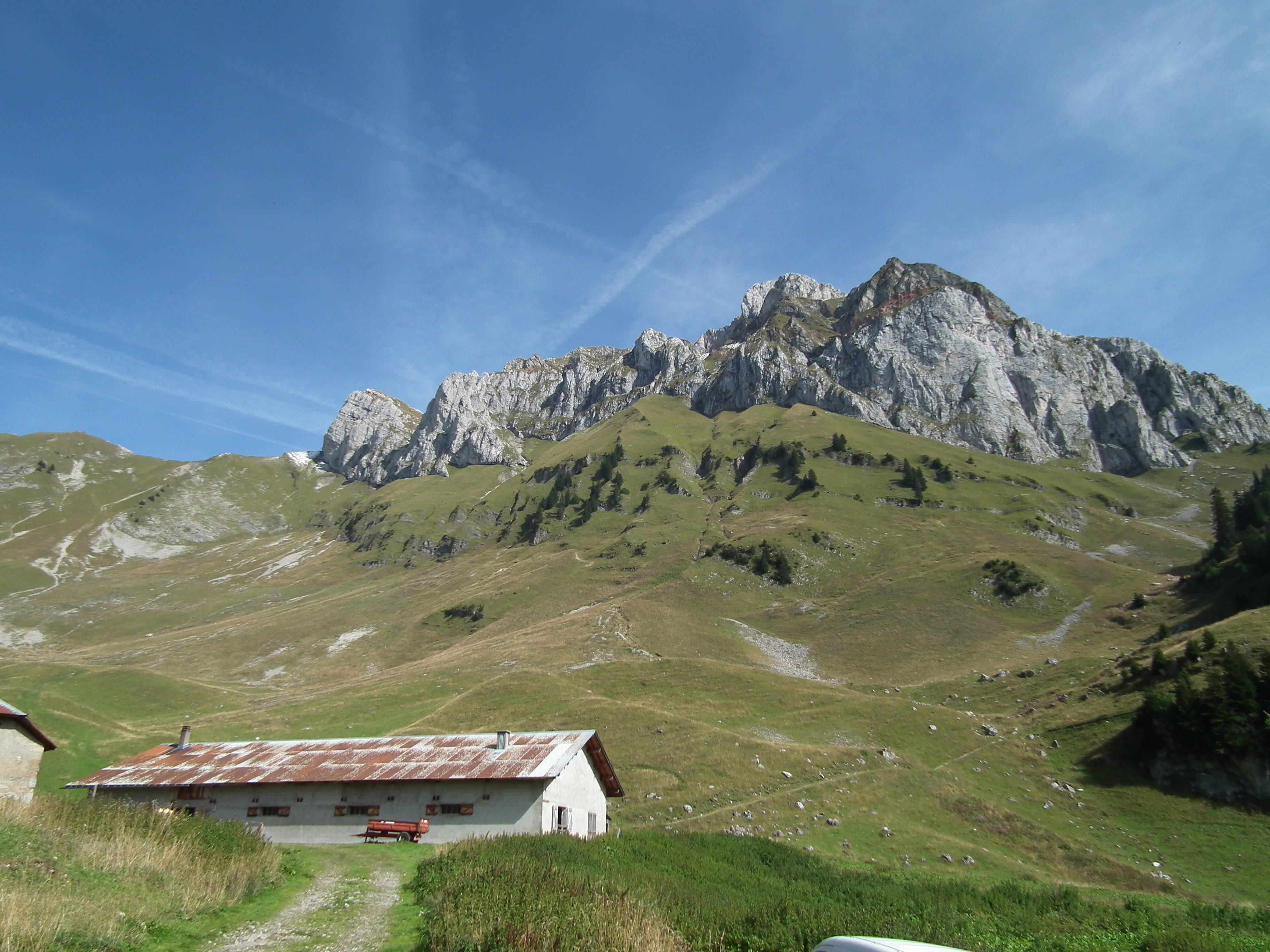
From the Col, head north towards La Calaz and climb a wide grassy ridge via a number of hairpin bends (steep slope). This brings you to the Chalet de La Calaz.
Turn left (north-west) and continue up into the pastures, past the Saix de la Calaz and then the Rochers de Chaudin. At the edge of a combe to the north (Chaux du Milieu), reach a flat spot with yellow Swiss signposts.
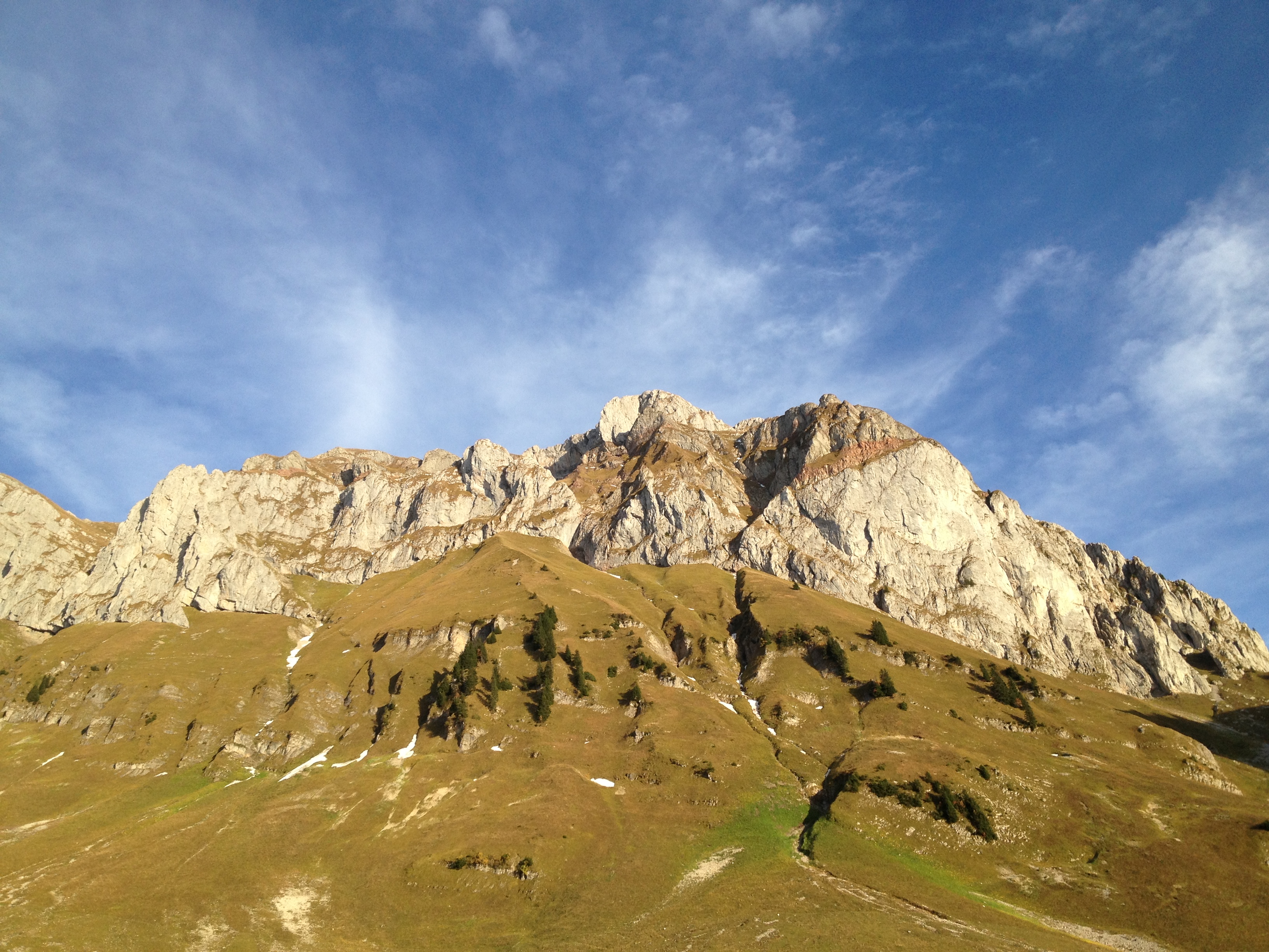
Continue west towards the Cornettes de Bise. Climb between rocks and lapiaz to reach the base of the summit. Turn right and, after several switchbacks, reach the summit.
Return in the opposite direction on the same path to the Chalets de Chevenne parking lot (D/A).
Photos
Shops, Services and Heritage Sites


You will also like