/
Hiking Hiking

Chamrousse 1650 - Aiguille

Le Recoin, Chamrousse
Col de l'Aiguille, Chamrousse
1.09 km Distance
115 m Positive elevation
98 m Negative elevation
1799 m Max. altitude
Medium Difficulty
Closed

Routes

Description

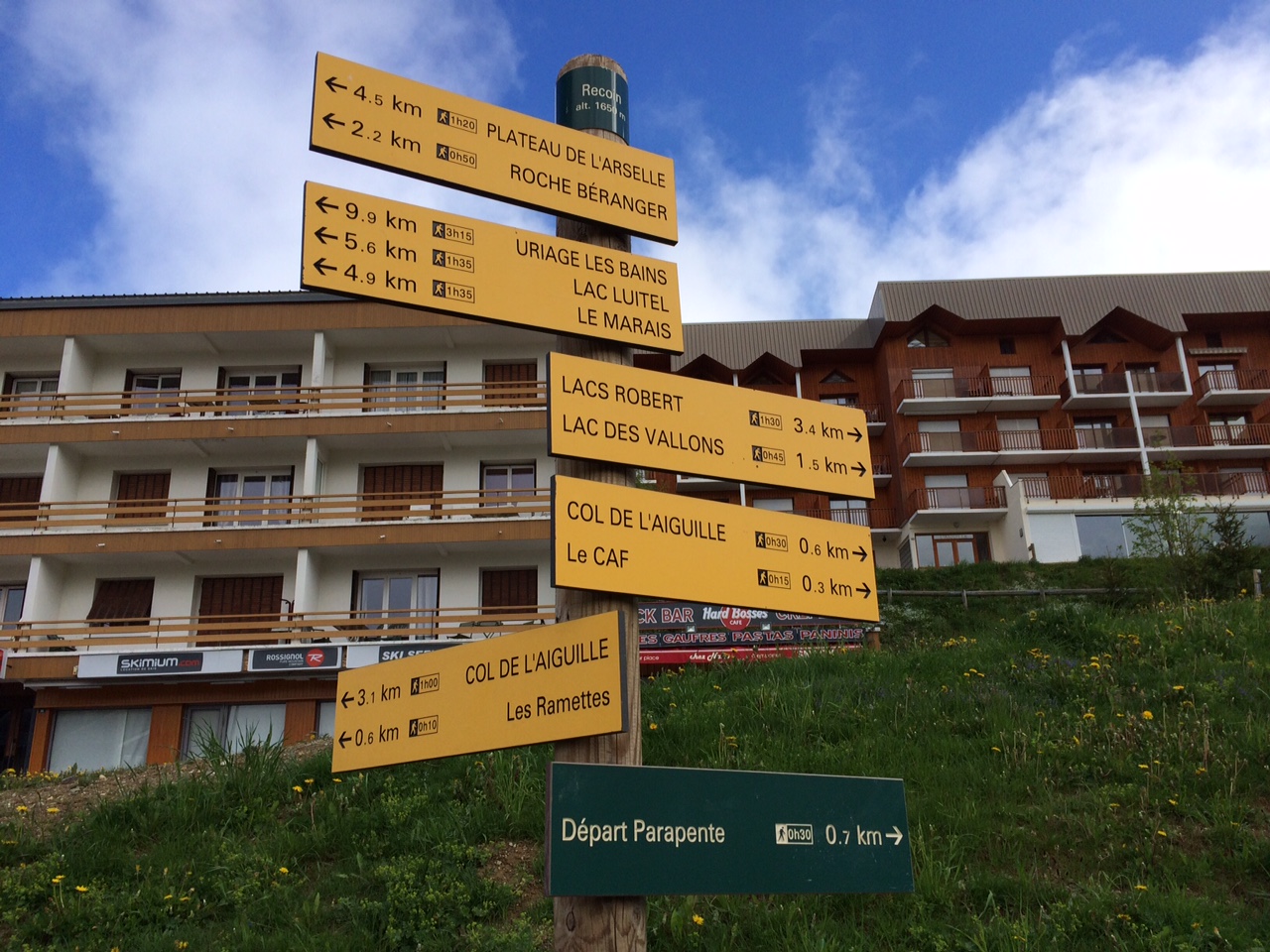
Departure point: Chamrousse 1650 - Recoin tourist office.
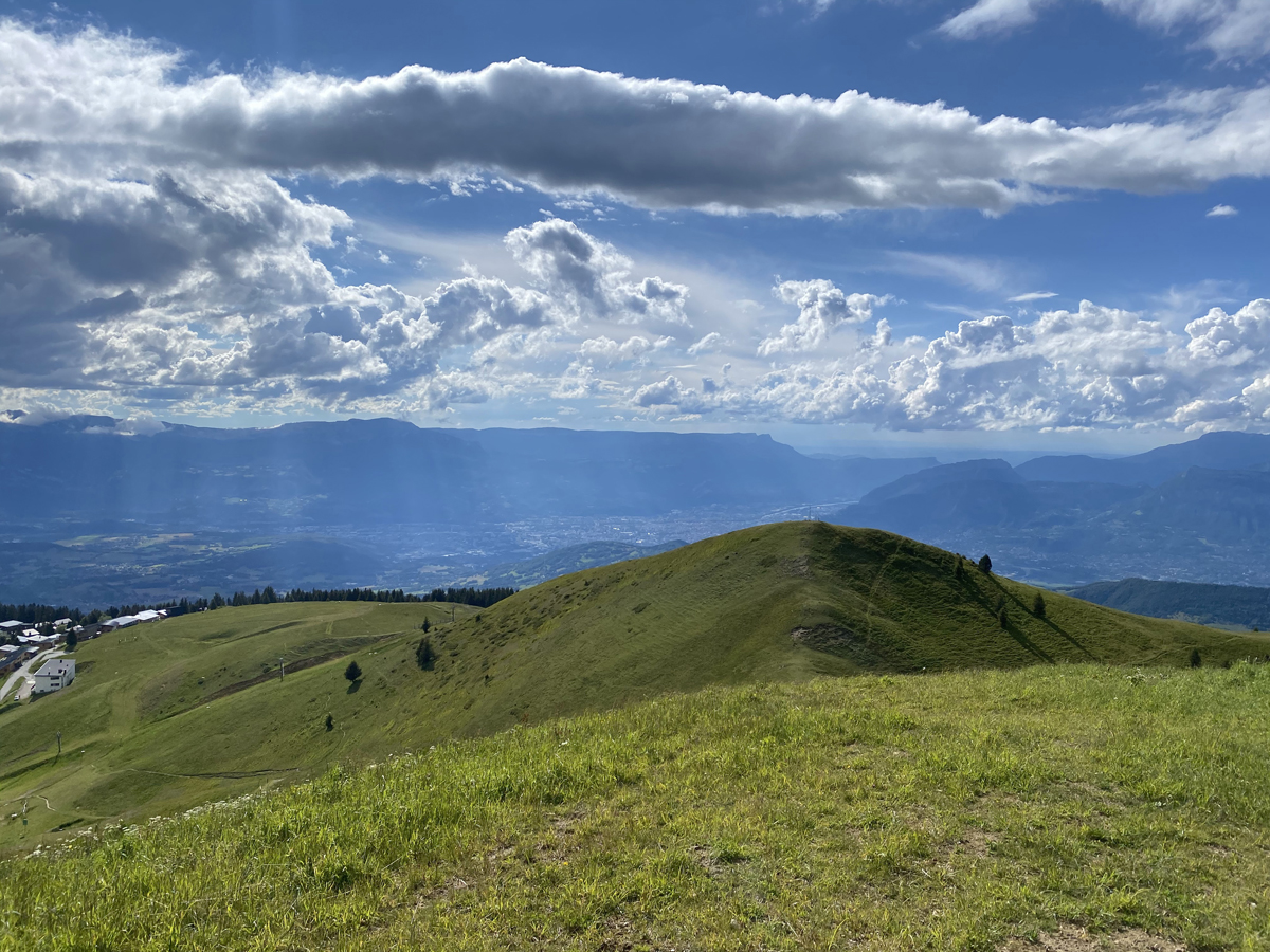
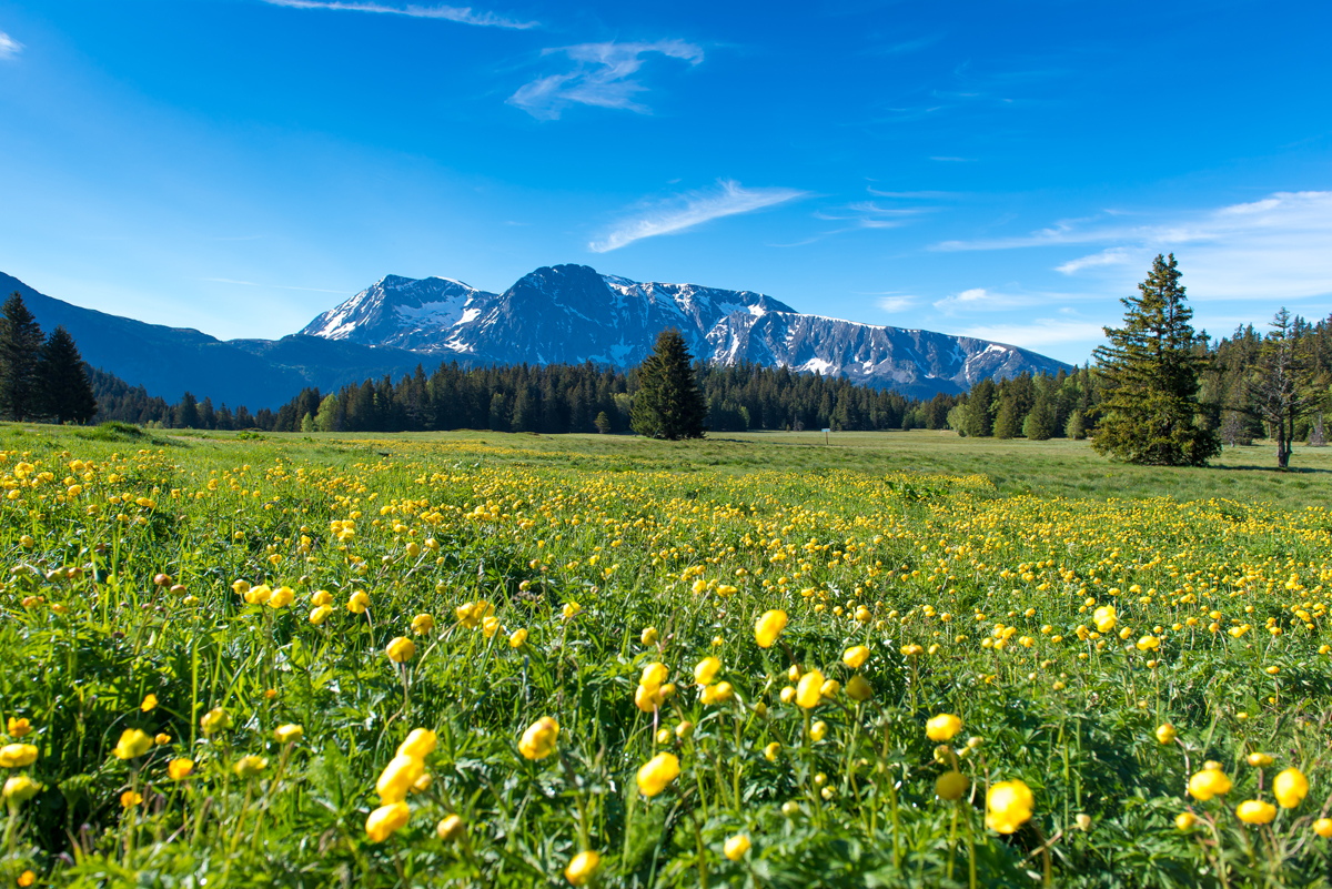
A short uphill walk with a well-deserved view of Grenoble and the Grésivaudan valley.
For the round trip, allow 45 minutes (1.4km).


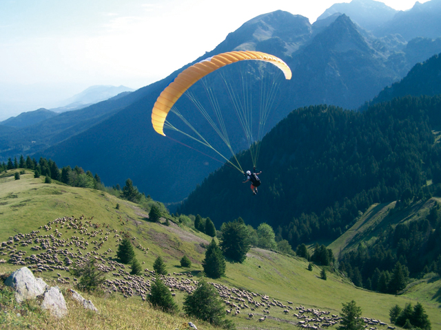
Admire the paragliders as they take to the skies, contemplate the peaks that surround you, learn about the history of Grenoble and discover the story of the bête du Grésivaudan by consulting the reading tables at the top of the Aiguille.

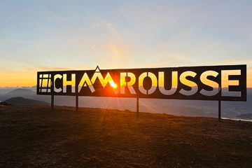
Not to be missed! Continue on for 300m to reach the new #Chamrousse photo spot, just above the Col de l'Aiguille (at the arrival of the Casserousse chairlift, altitude 1870m). Allow a further 15 minutes' walk, 40m of ascent/10m of descent.

Source APIDAE

Discover the Destination

See more Destinations

Hiking Hiking

Share

Photos

photosFeed-https://static.apidae-tourisme.com/filestore/objets-touristiques/images/133/113/17199493.jpg
photosFeed-https://static.apidae-tourisme.com/filestore/objets-touristiques/images/135/113/17199495.jpg
photosFeed-https://static.apidae-tourisme.com/filestore/objets-touristiques/images/136/113/17199496.jpg
photosFeed-https://static.apidae-tourisme.com/filestore/objets-touristiques/images/125/113/17199485.jpg
On Piste logo
Download from Apple Store Download from Google Store

Explore the best spots!

We have picked out for you the best destinations and routes, marked out by local experts and respectful of the environments in which they take place. Routes, accommodation, courses, races, equipment, find all the good addresses and recommendations of the On Piste team to organise your next walking, cycling or skiing session. Let us guide you and don't miss any point of interest.
© 2022 On Piste
v. 1.15.5