Sign up for the newsletter
Explore Trail Running
Col de la Pousterle - Les Vigneaux
Routes
Very low slope <5% %
Low slope <7% %
Moderate slope <10% %
Steep slope <15% %
Very steep slope >15% %
Description
BLUE trail starting from Les Vigneaux, parking pont du Rif
Share your photos on social networks with #stationdetrailecrins
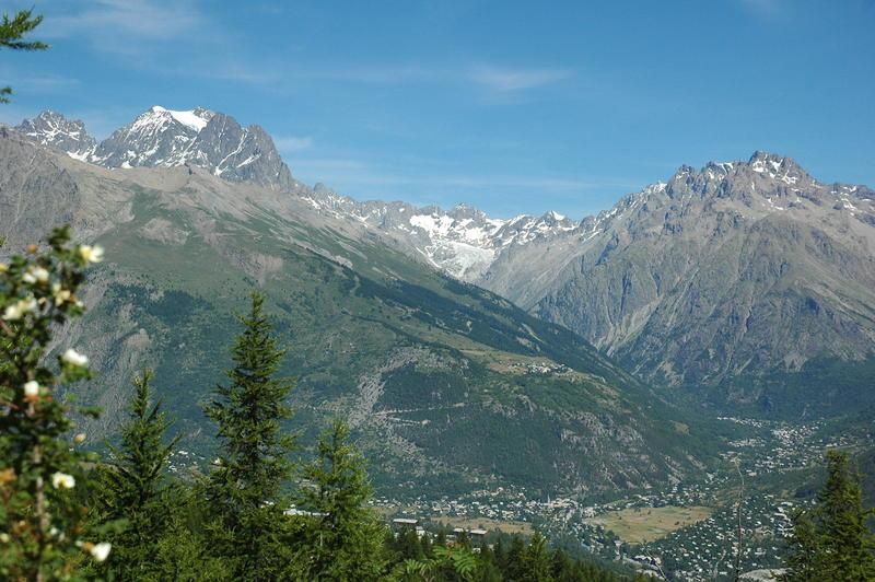
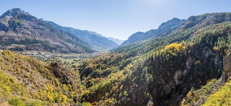
The route starts by crossing the campsite, 500m after the campsite the itinerary takes a path that will allow you to cross the road and then join a forest road. The access to the Col de la Pousterle, a place of passage between the valley of Vallouise and the valley of Fournel, is first by a rolling track then a sometimes steep path. The return is first on a forest track and then rejoins the valley by a very pleasant path under the larch trees.
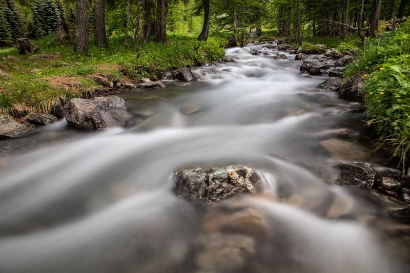
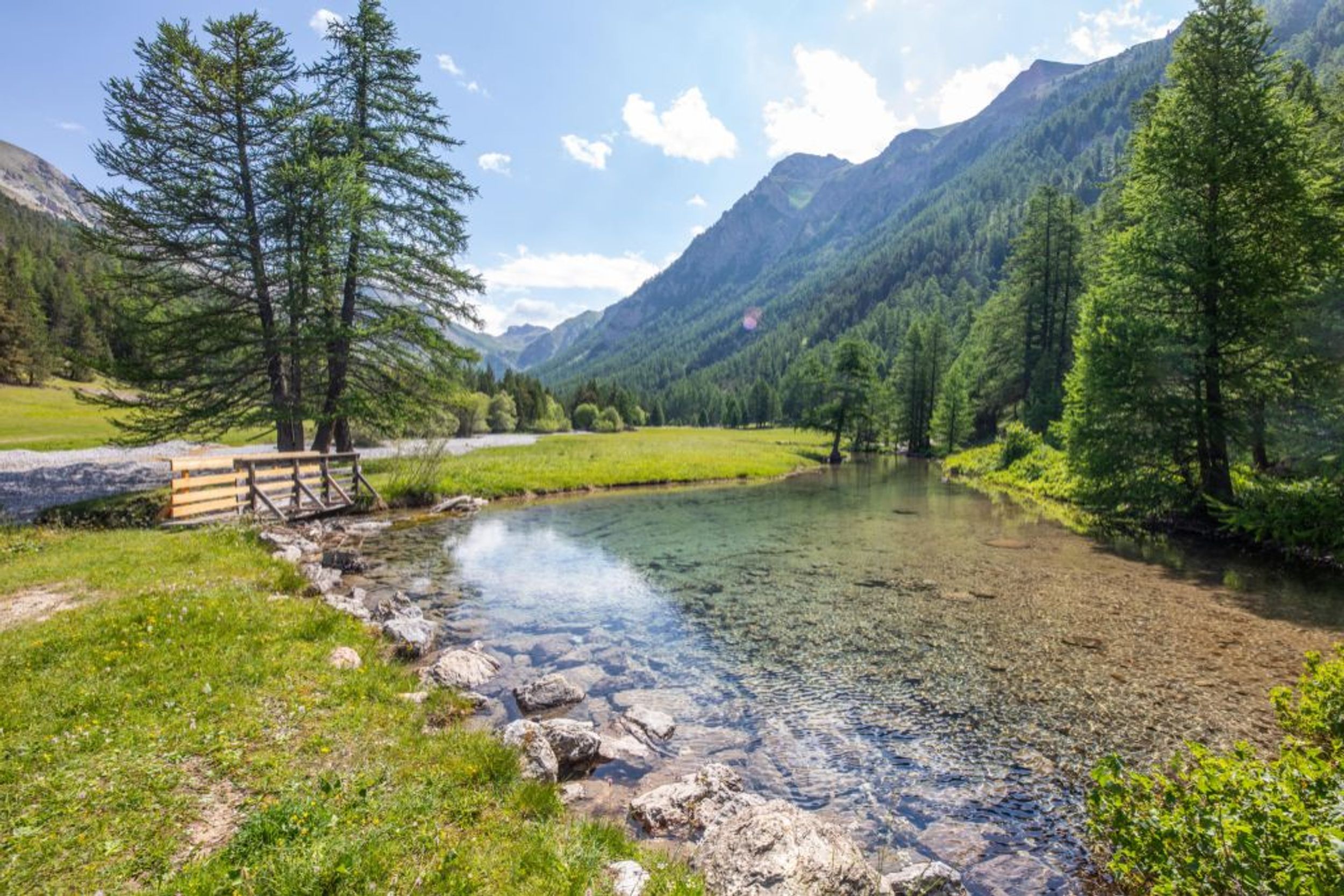
This trail runs entirely in the shade of a forest of larch trees, some of which are several hundred years old.
It is essential to respect the work of the farmers, operators and owners who welcome us on their land.
So that the herds don't escape, close all the fences tightly.
Bring back all your garbage,
Don't cut routes through the meadows.
Download this route before you leave and let the Trail Running Resorts app guide you on all the routes.
Photos
