2
Trail Running Trail Running

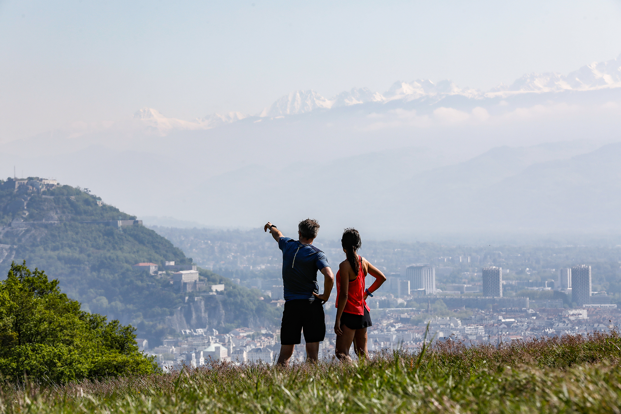
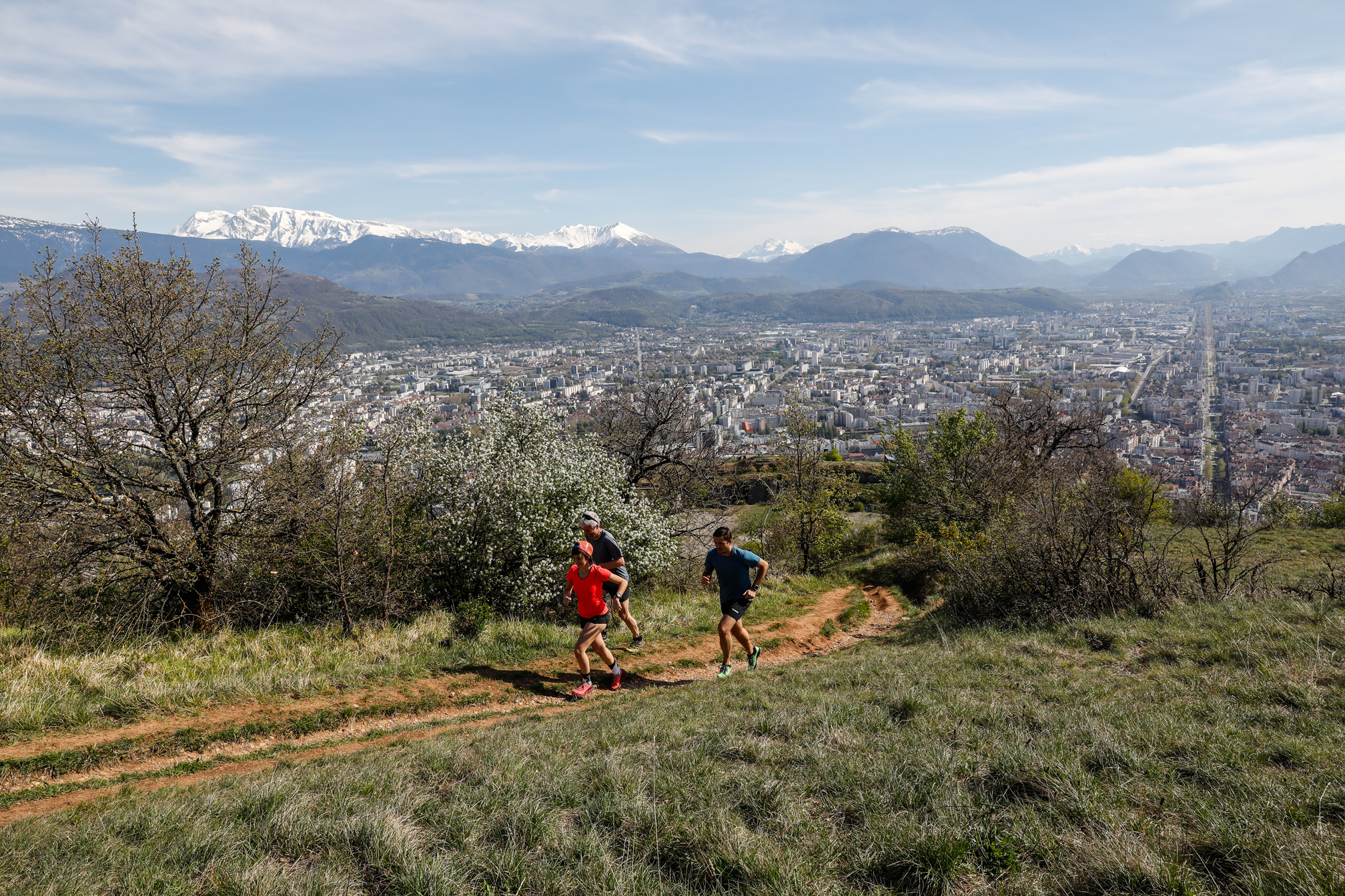
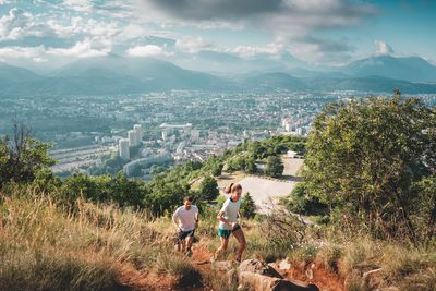
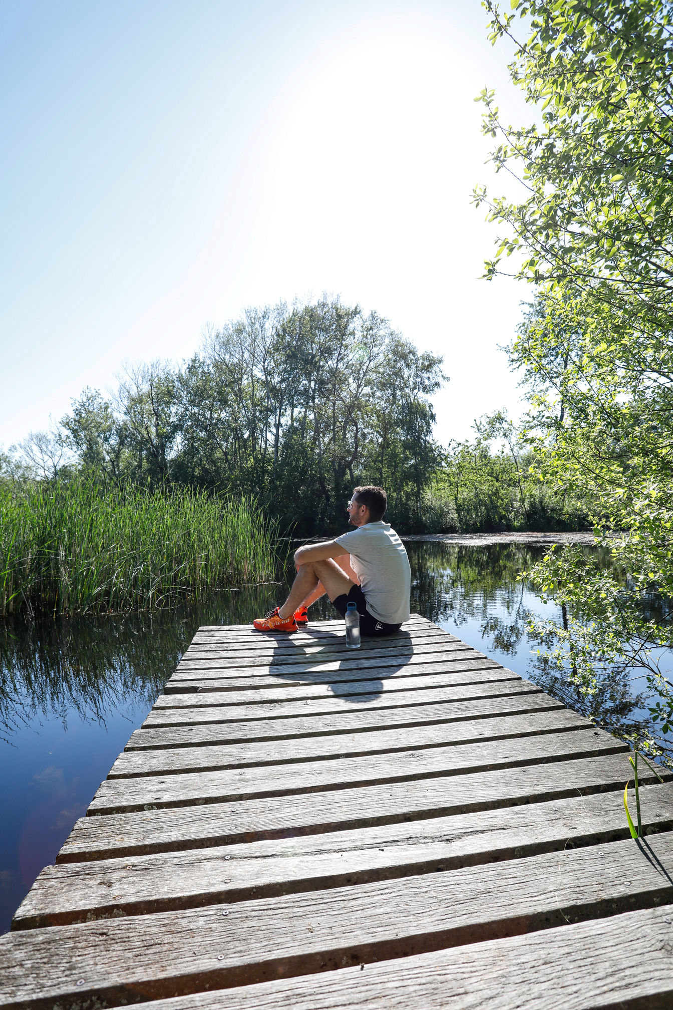
Frange Verte - Le Saut du Moine

Parc de la Frange Verte, Échirolles
15.66 km Distance
402 m Positive elevation
420 m Negative elevation
435 m Max. altitude
Medium Difficulty
Opened

Routes

Very low slope <5% %

Low slope <7% %

Moderate slope <10% %

Steep slope <15% %

Very steep slope >15% %

Description

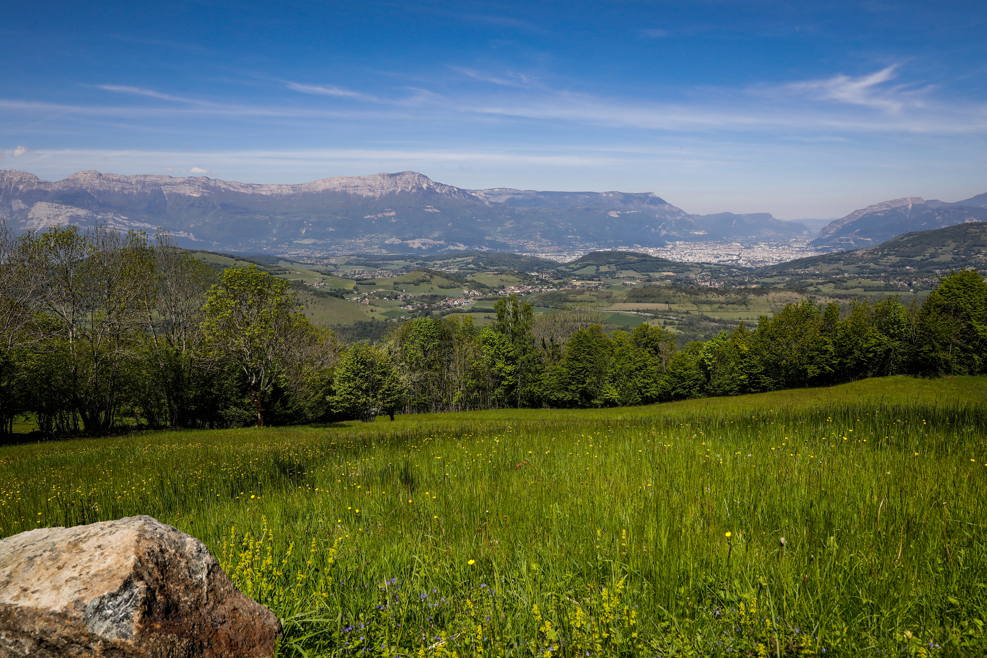
Route n°2 : This is the ideal itinerary for anyone trying to increase their distance over a moderate elevation gain. The Jarrie-Champagnier plateau offers a natural, rural setting.


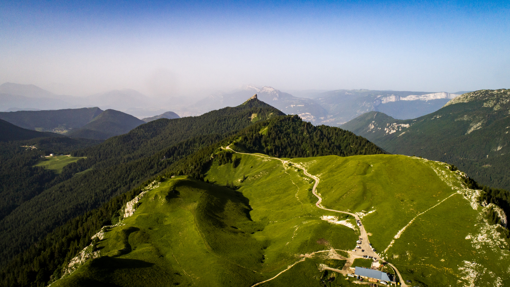
The Saut du Moine offers a different angle on the confluence of the Rivers Drac and Romanche as well as the Taillefer and Oisans mountain ranges. This is almost high-altitude running.
You'll find water at the Frange Verte Park departure point, Le Plâtre and Le Charbonnaux
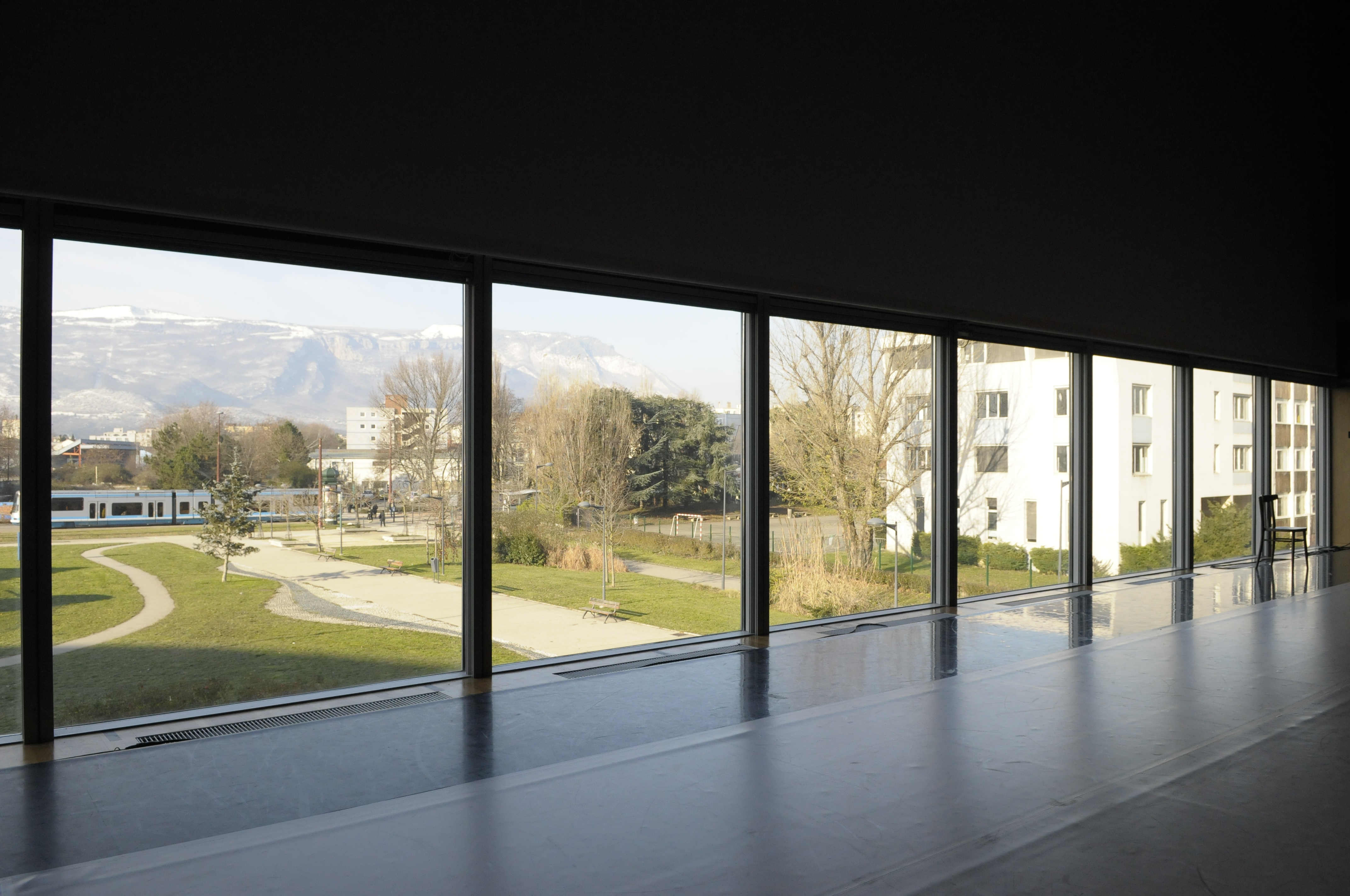
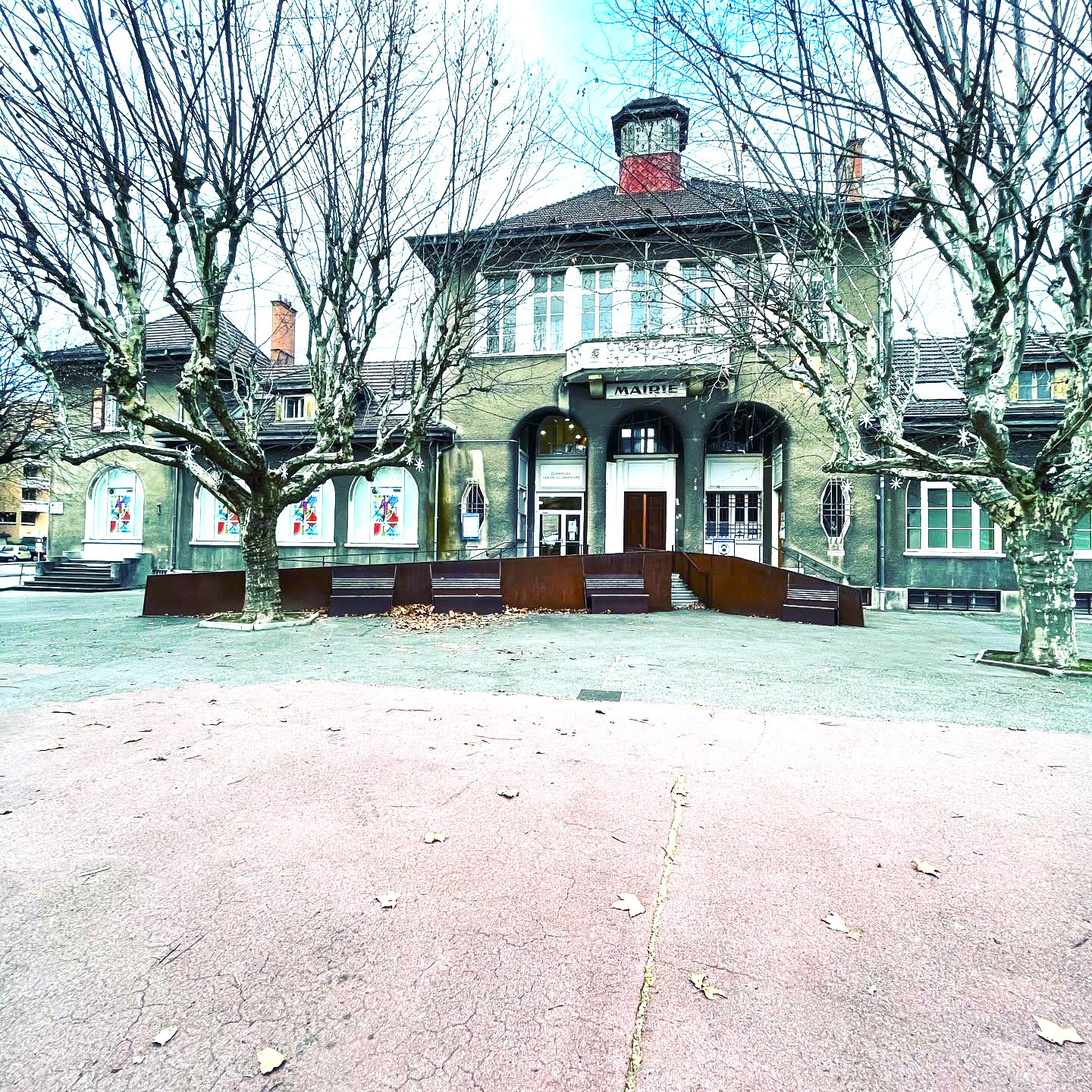
Source APIDAE

Discover the Destination

See more Destinations

Trail Running Trail Running

Share

Photos

photosFeed-https://static.apidae-tourisme.com/filestore/objets-touristiques/images/196/35/6431684.jpg
On Piste logo
Download from Apple Store Download from Google Store

Explore the best spots!

We have picked out for you the best destinations and routes, marked out by local experts and respectful of the environments in which they take place. Routes, accommodation, courses, races, equipment, find all the good addresses and recommendations of the On Piste team to organise your next walking, cycling or skiing session. Let us guide you and don't miss any point of interest.
© 2022 On Piste
v. 1.18.5