Sign up for the newsletter
Explore Trail Running
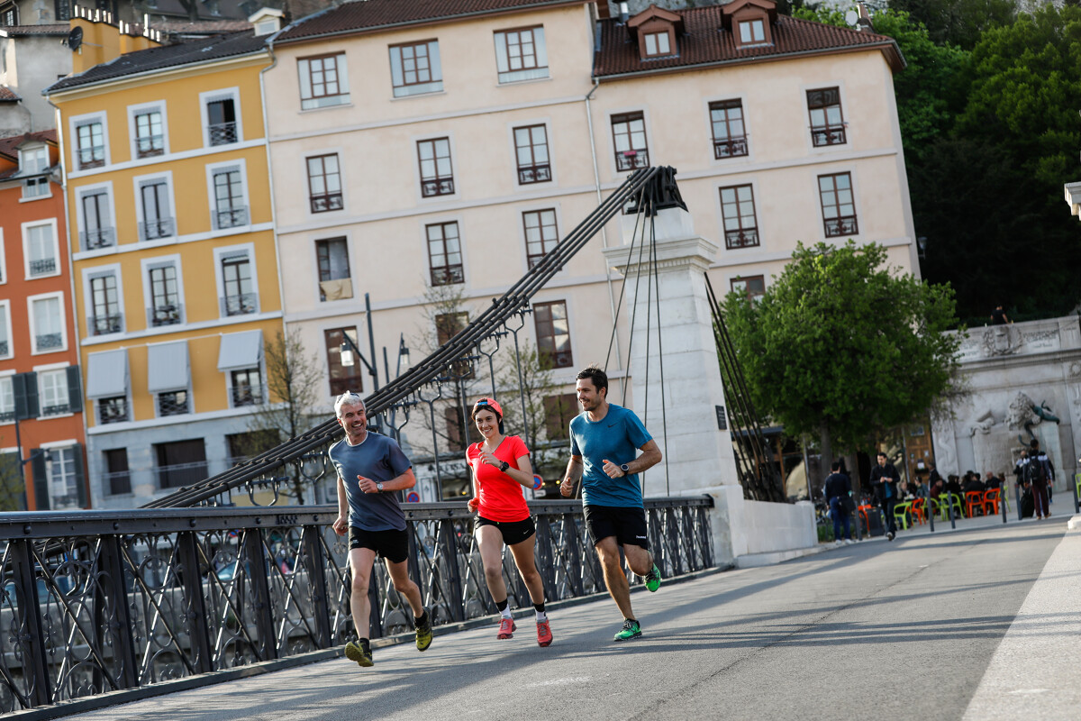
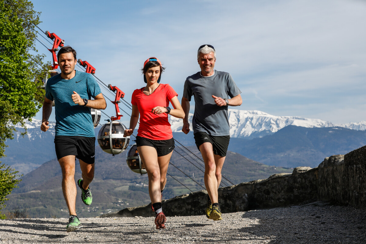
Trail path La Bastille - Le Col de Clémencières
Routes
Very low slope <5% %
Low slope <7% %
Moderate slope <10% %
Steep slope <15% %
Very steep slope >15% %
Description
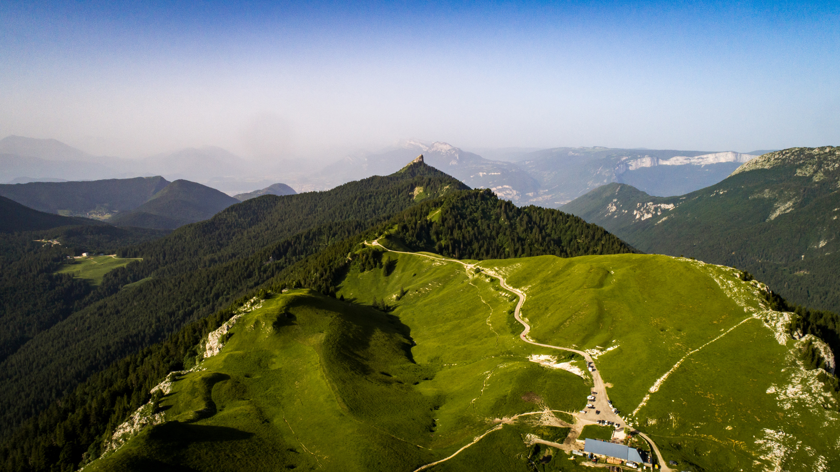
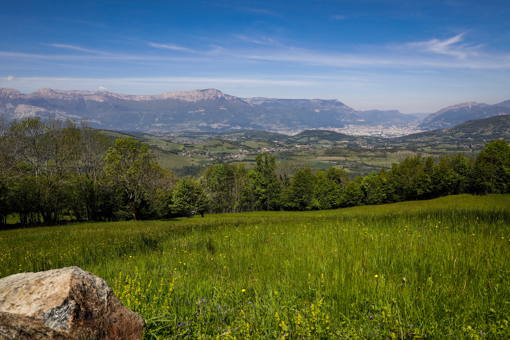
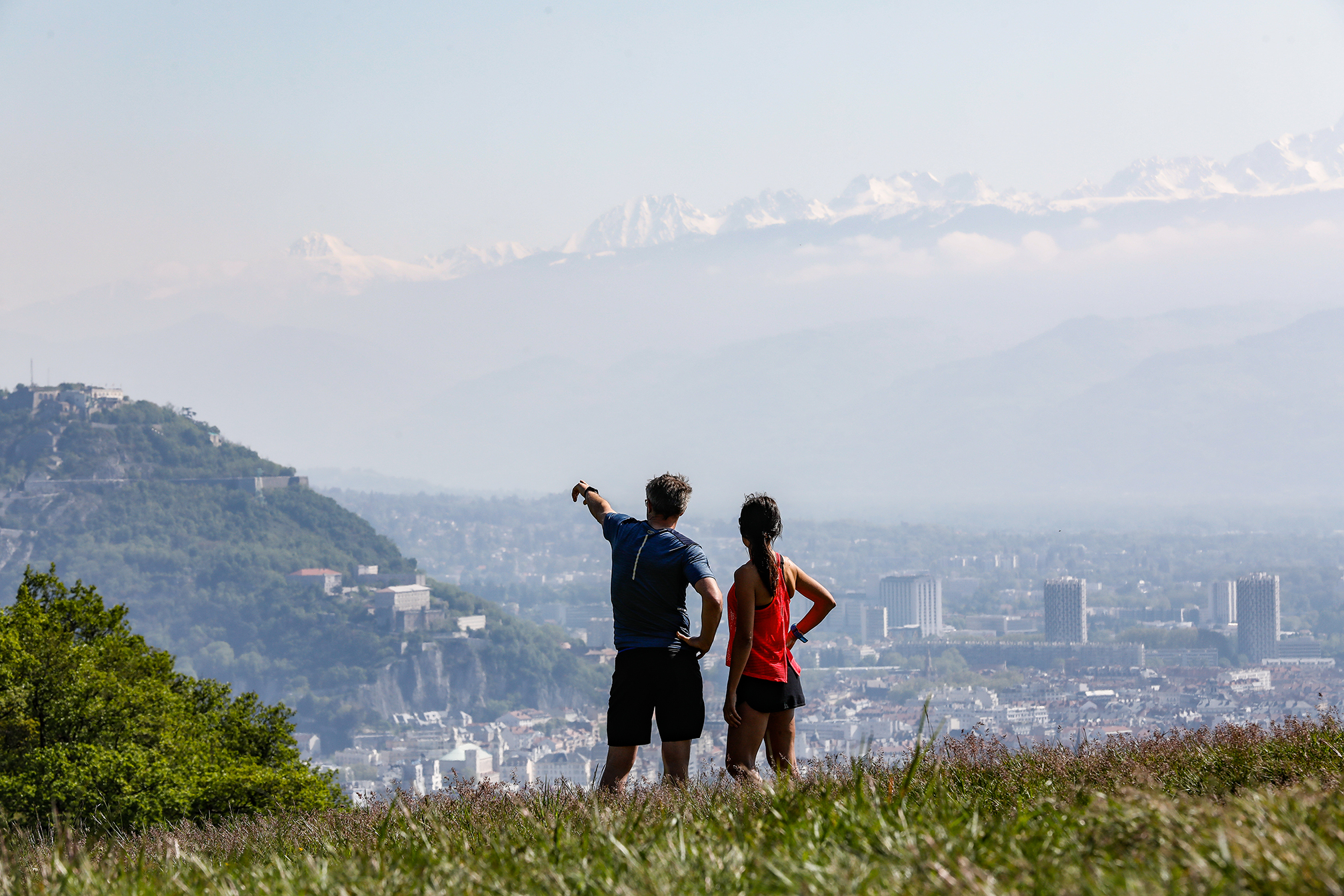
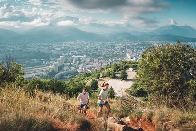
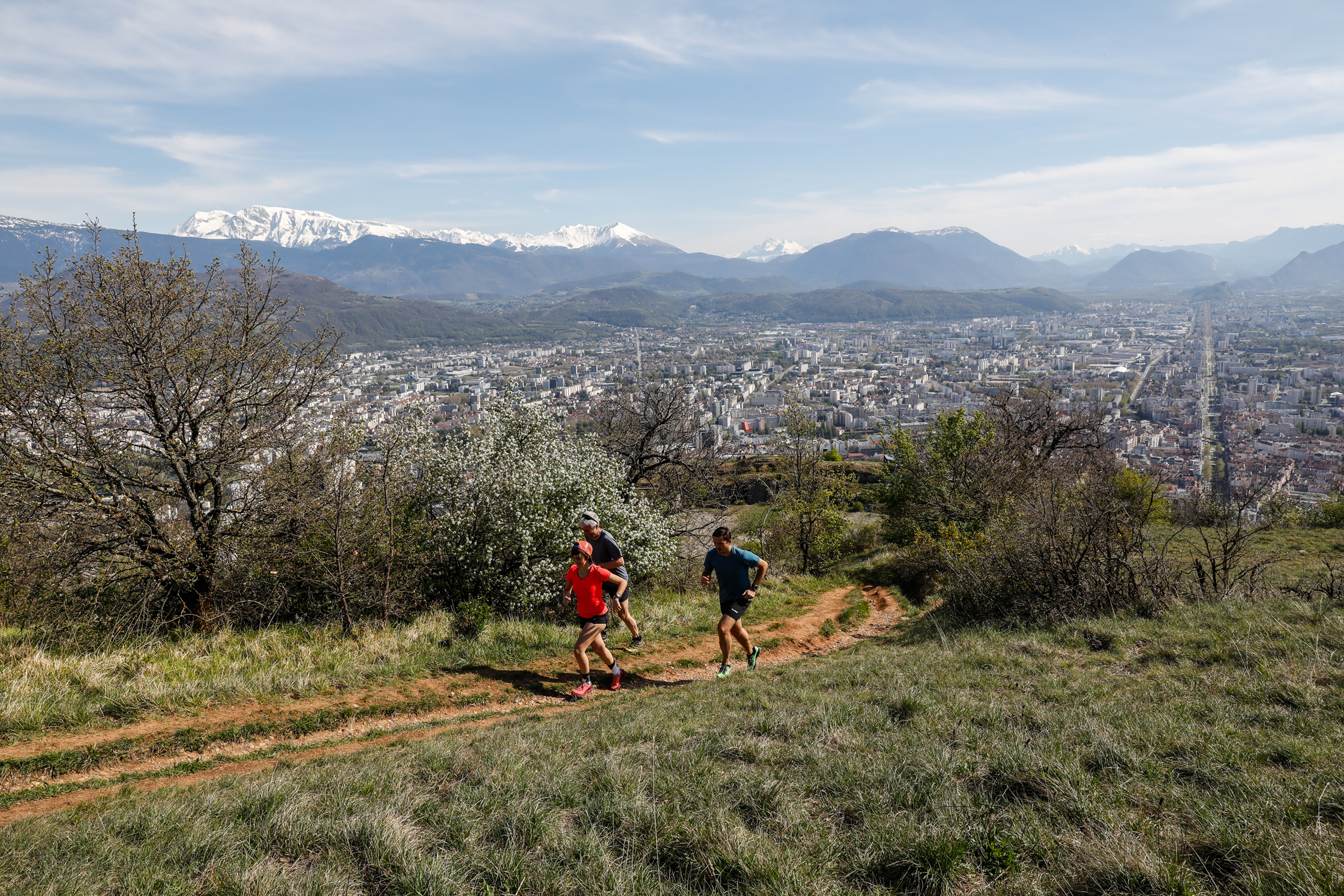
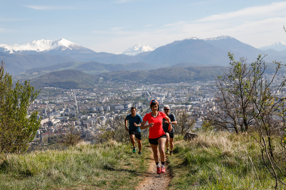
The climb to La Bastille is not to be missed, but neither are the less busy singletrack paths that you'll follow from the top. Over the valley and Belledonne mountains, they offer stunning views stretching all the way to Mont Blanc.
As you leave the "Relais de Rochebise" woods, you'll come to a cabin and, a few tens of metres further, the highest point of the itinerary, the "Bec Aigu". The descent offers a worthy technical challenge and requires caution on some of the steeper sections.
You'll find water at Porte Saint Laurent, Pied du Glacis and La Tronche Mairie
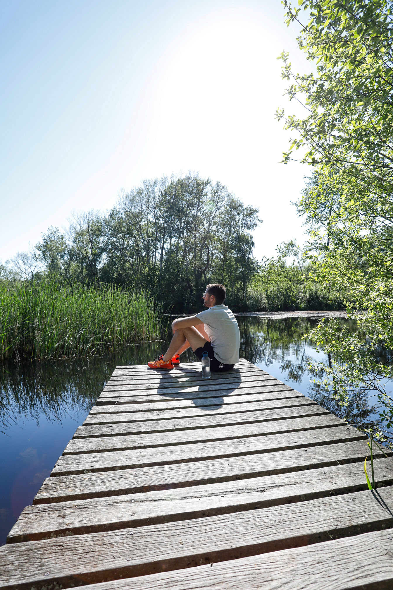
Photos
Shops, Services and Heritage Sites


You will also like