Sign up for the newsletter
Explore Trail Running
Les Tenailles (trail route no. 12)
Routes
Very low slope <5% %
Low slope <7% %
Moderate slope <10% %
Steep slope <15% %
Very steep slope >15% %
Description
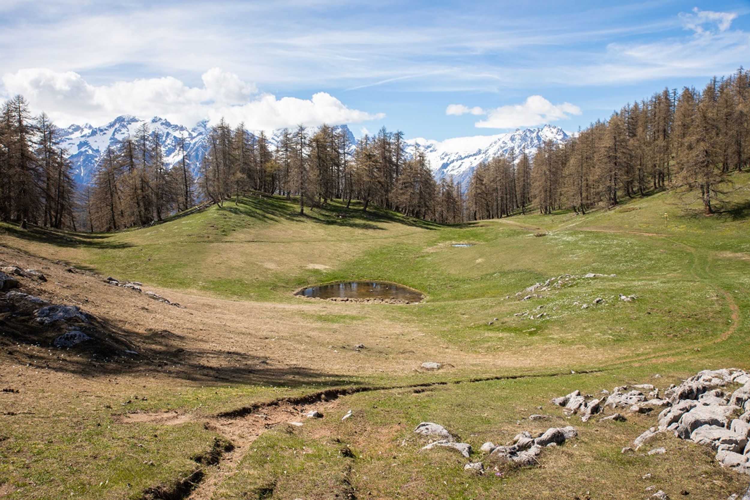
Climb up to a high pass, follow the banks of mountain streams, discover Bouchier, be stunned by panoramic views A rich and full itinerary to admire and discover the Pays des Écrins!
Starting from the campsite, head towards the village of Prelles on the road running alongside the railway line.
Go past the railway line and the N94 to reach Prelles (exercise caution: a dangerous and busy road) and then carry on through the village. Follow signs for Sachas via the D336.
At the bend, keep an eye out for a path on the right. Take this and follow the banks of the Sachas mountain stream.
Cross the mountain stream and carry on towards Ratière. The path crosses the Pra Piouzéou mountain stream and runs through Les Banchets. Skirt around Ratière.
Take the path on the right and carry on until you reach the Col de la Trancoulette. At the pass, turn left to start the descent.
Turn left to continue the descent and skirt around Le Clot des Amandiers.
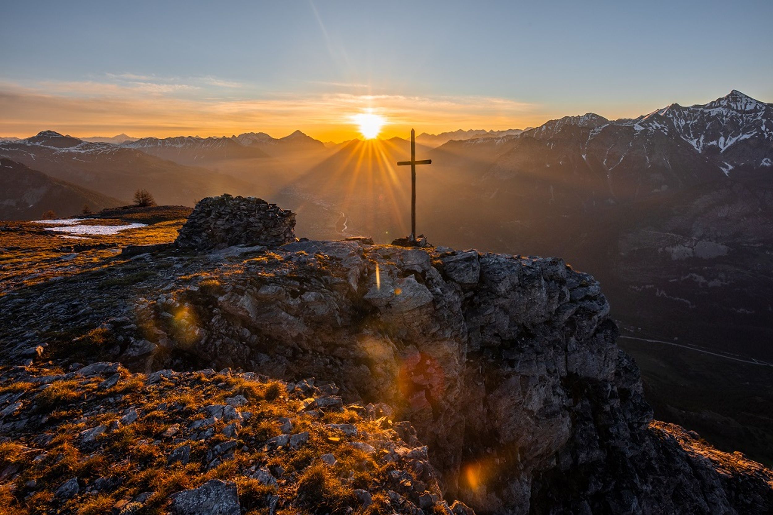
At the mountain stream La Trancoulette, continue right to the Croix de la Salcette, below Les Tenailles de Montbrison. Carry on towards the hamlet of Bouchier, and then drop back down to Prelles and back to your starting point.
Photos
