Sign up for the newsletter
Explore Trail Running
The Collet de la Salcette (trail route no. 10)
Routes
Very low slope <5% %
Low slope <7% %
Moderate slope <10% %
Steep slope <15% %
Very steep slope >15% %
Description
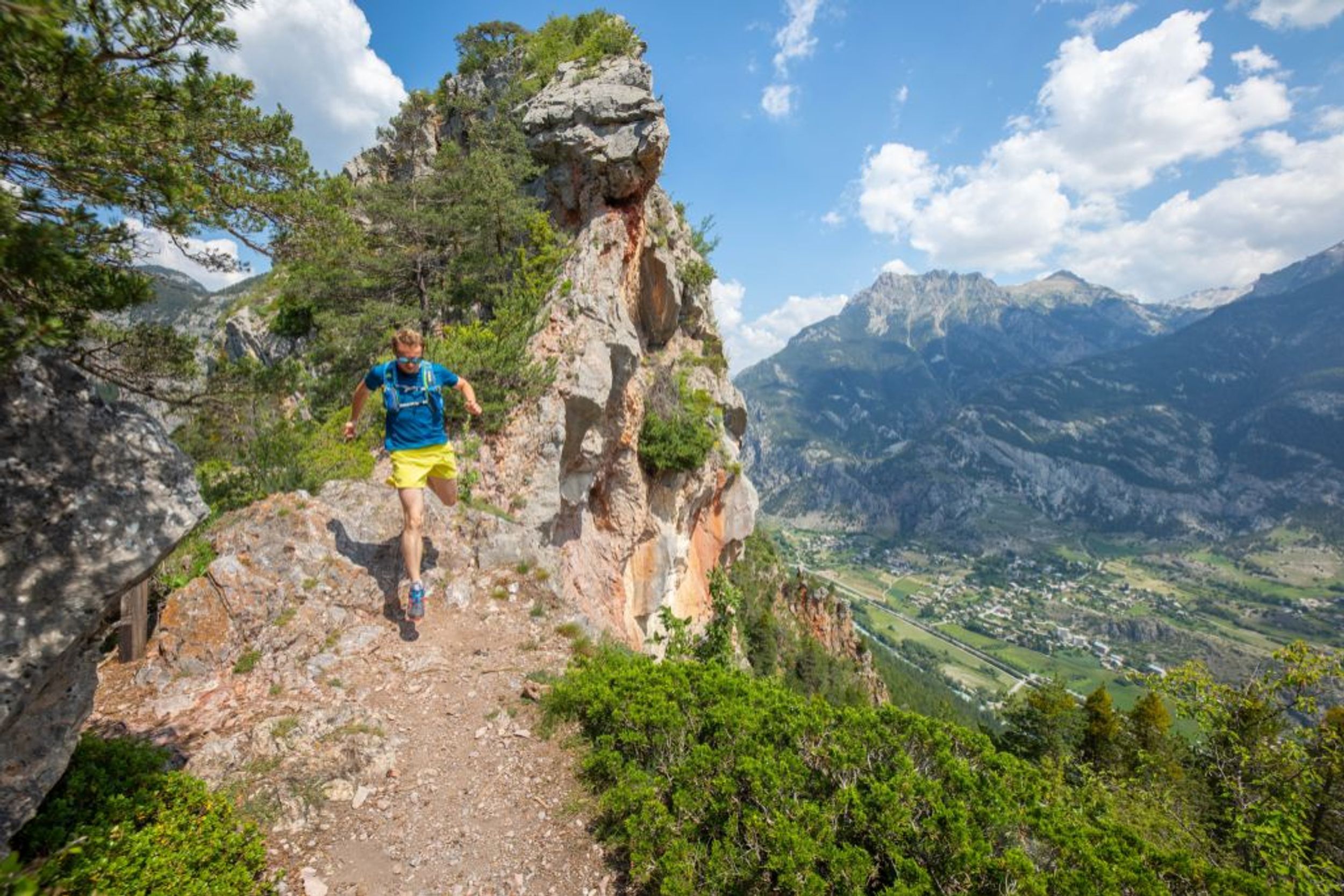
A beautiful trek first through forest and then rising to the bottom of the foothills of the Montbrison massif!
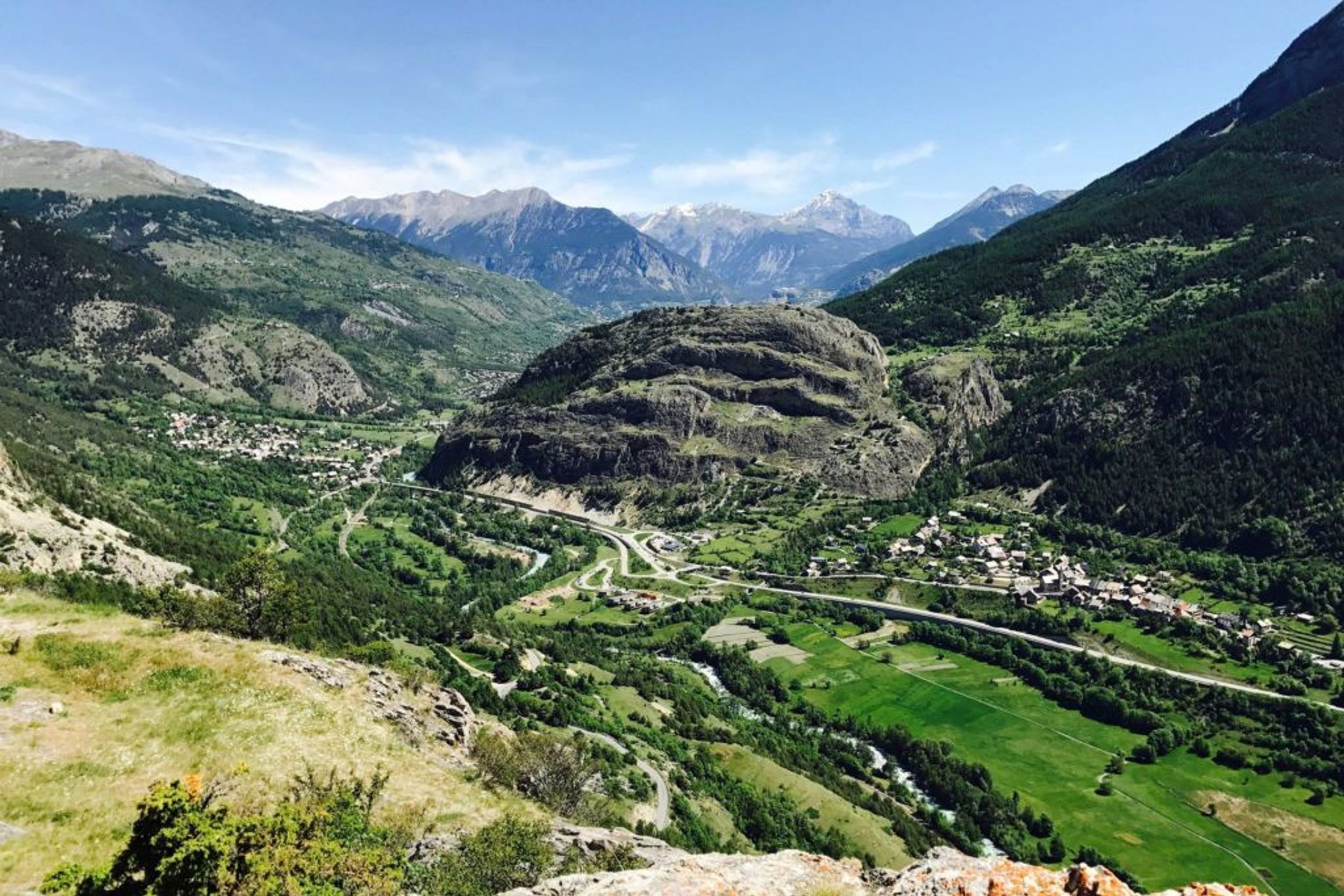
From the Le Courounba campsite, head for Le Pont du Rif at the bottom end of the village of Les Vigneaux and, from here, follow the road towards Briançon.
1.5 kilometres after leaving the village, take the path on the left leading to La Rourée and Bouchier. It leads uphill through a forest of Scots pines and oak trees before dropping gently and coming to a winding bend in the track leading to Bouchier.
Follow the path on the left leading directly below the hamlet. Turn right and carry on along a forested track, heading due north towards La Bletonnée along a flat uphill section.
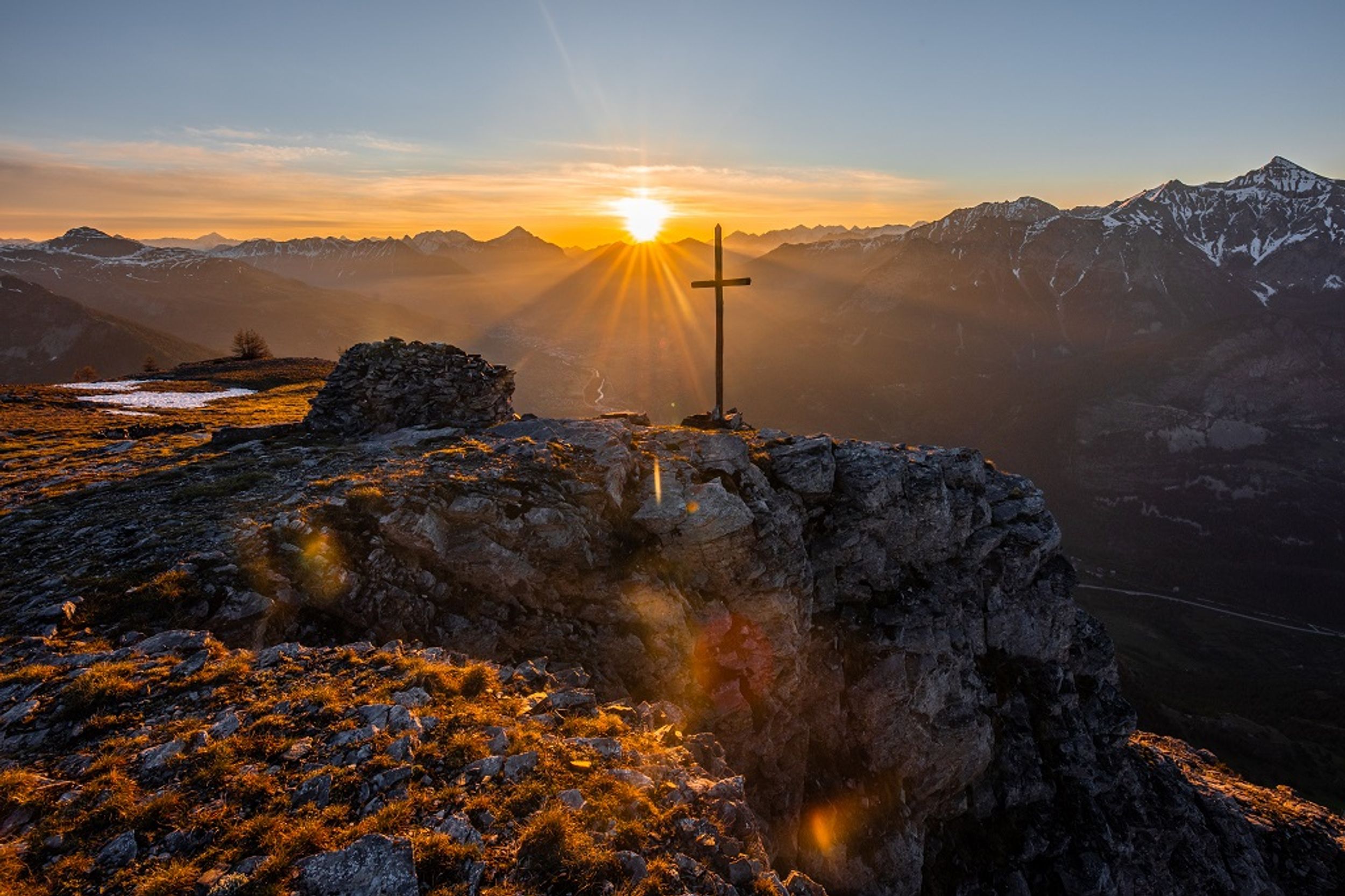
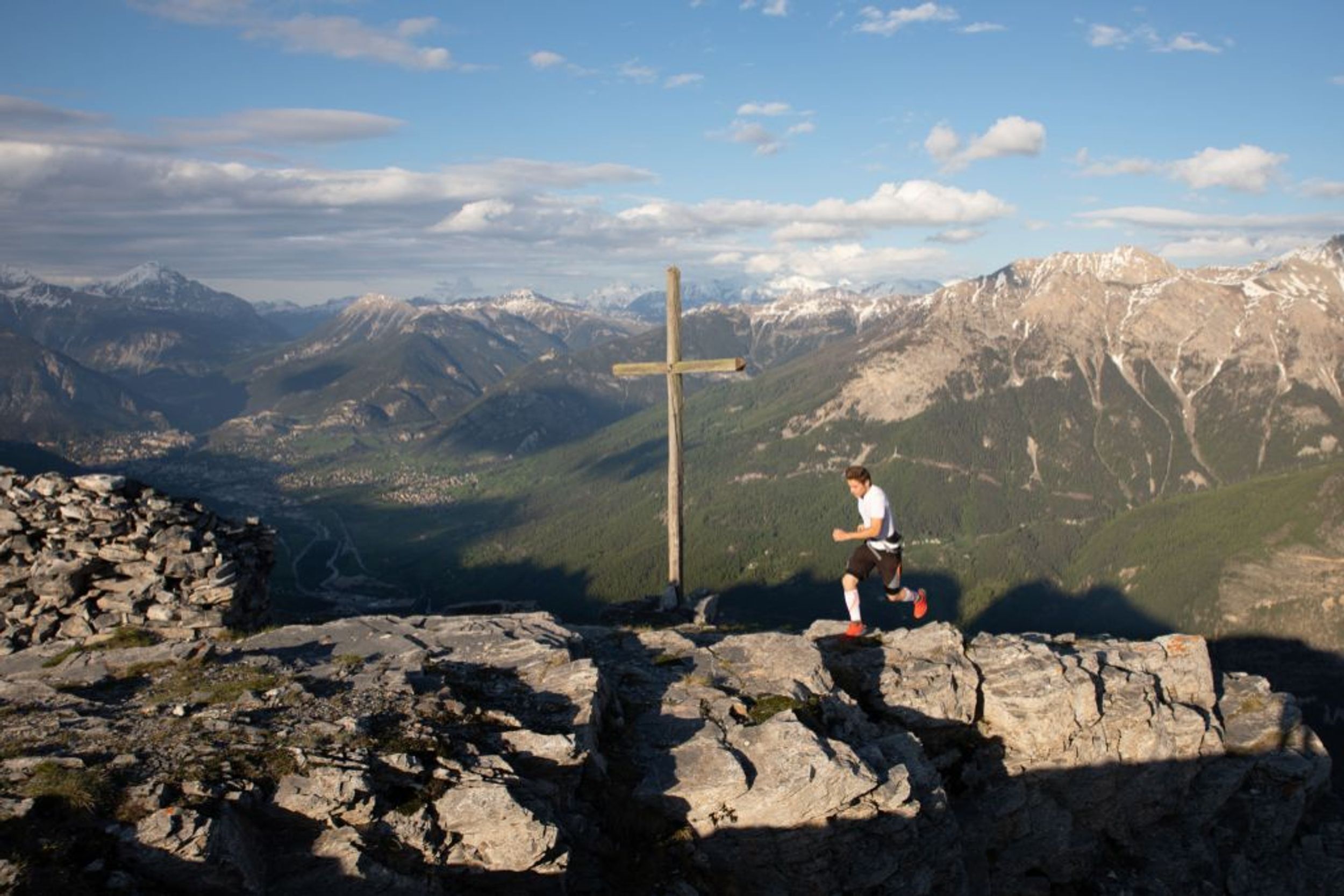
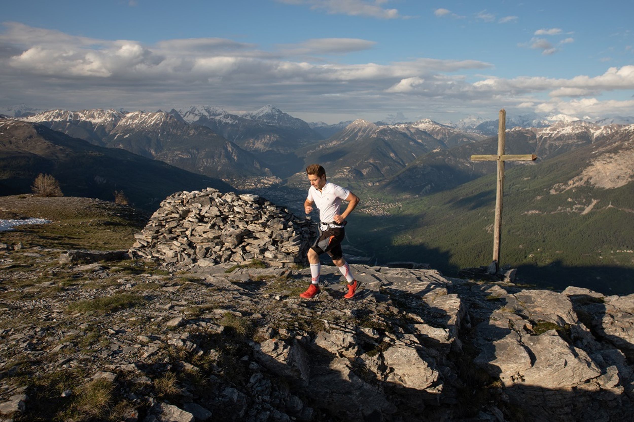
After the few houses, take a steep path which follows the left-hand bank of the mountain stream La Combe, and crosses it further up. The slope becomes less steep and leads up through the north-facing combe to a grassy plateau where the Croix de la Salcette stands.
The descent is along a steep path following the southern ridge.
At a fork in the path, leave the ridge to descend directly to the right towards Le Périllas and Les Vigneaux. Lower down, the path comes to the pine forest again and culminates at the top end of the village. Make your way back to Le Pont du Rif and your starting point.
Photos
