Sign up for the newsletter
Explore Trail Running
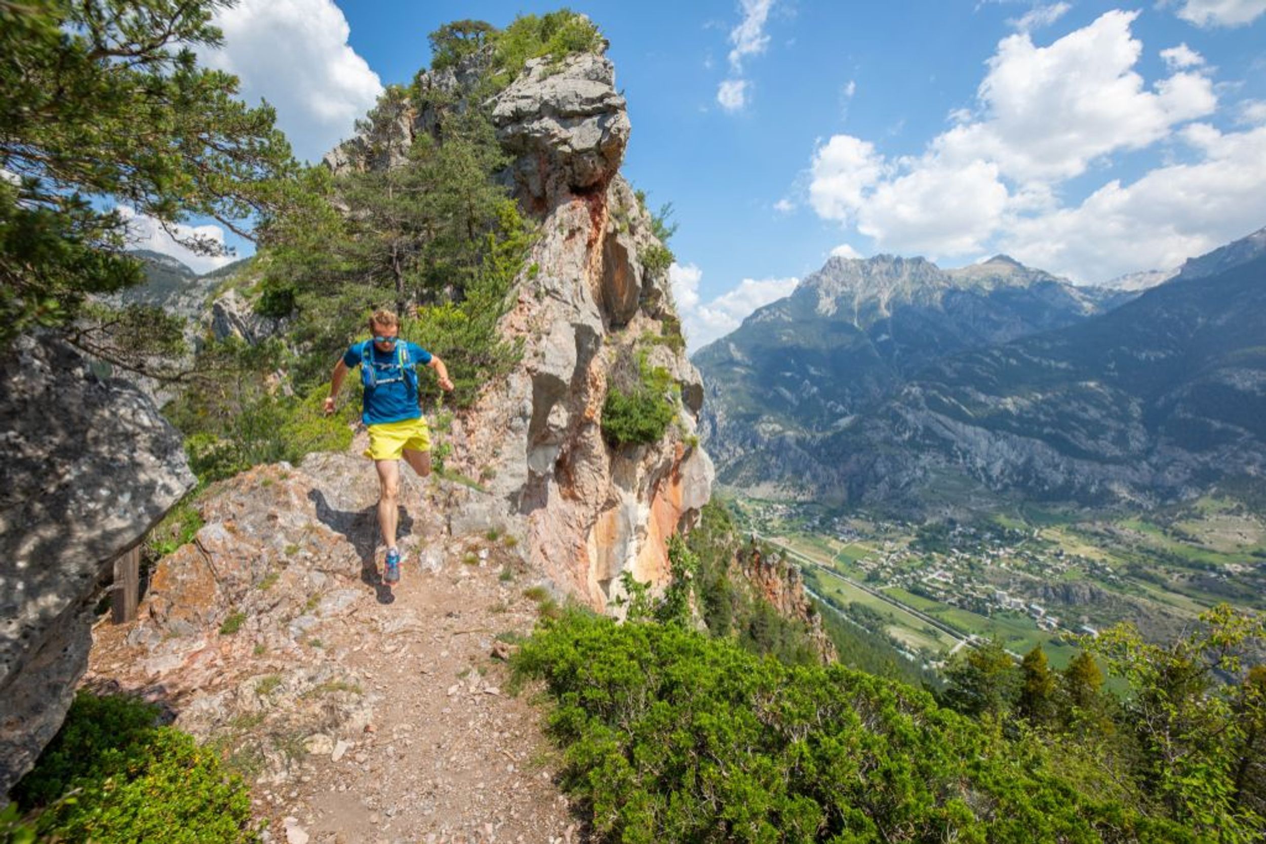
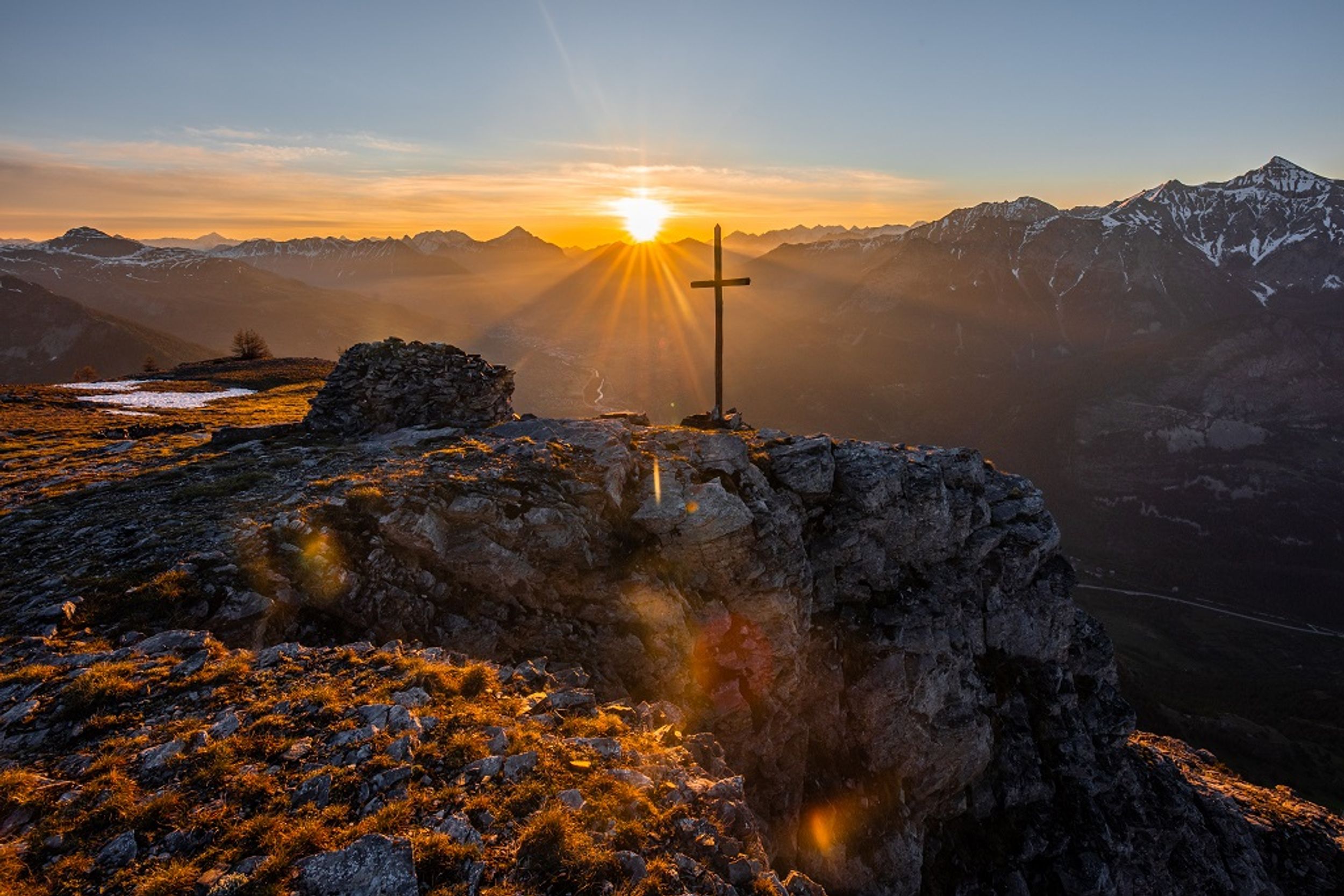
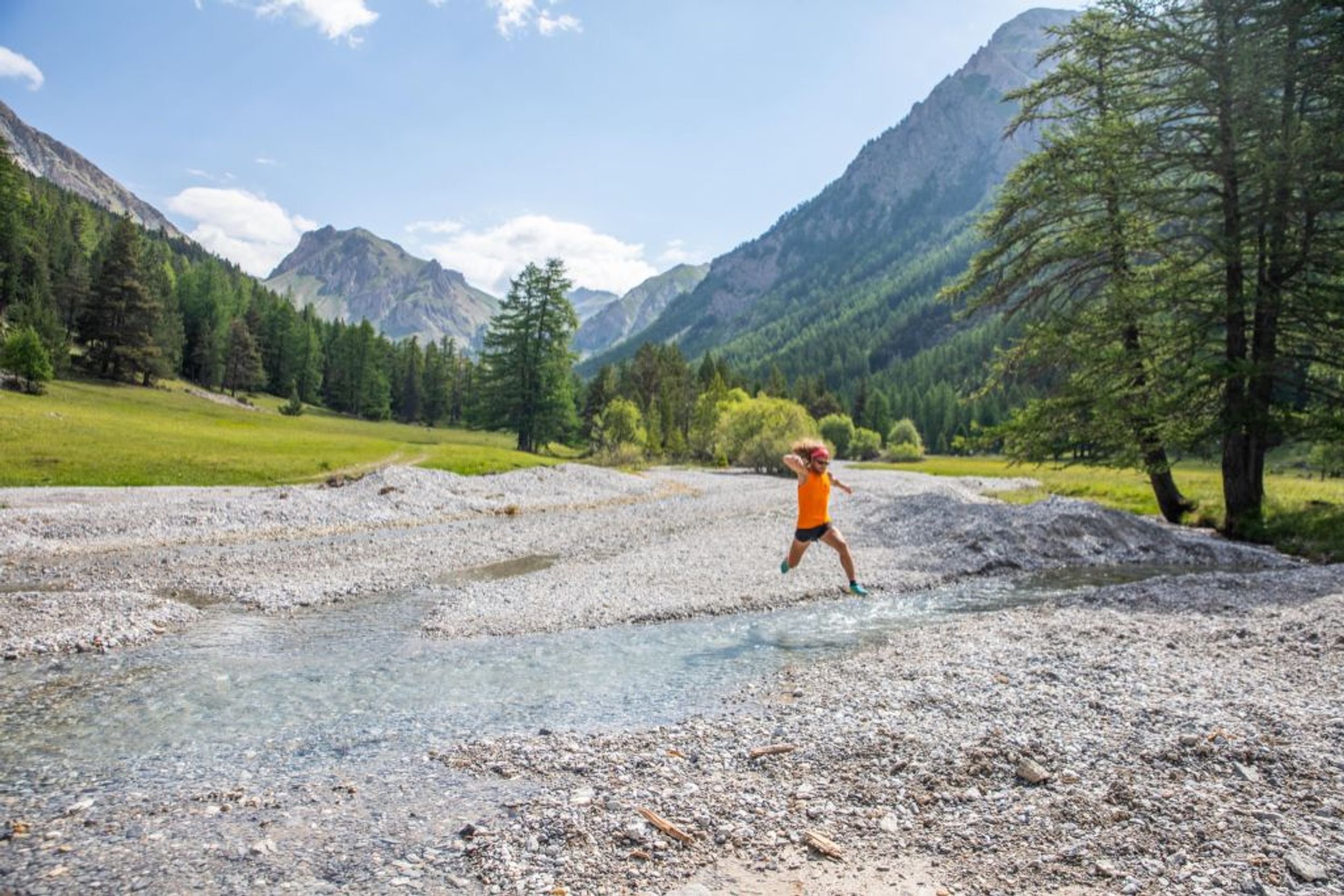
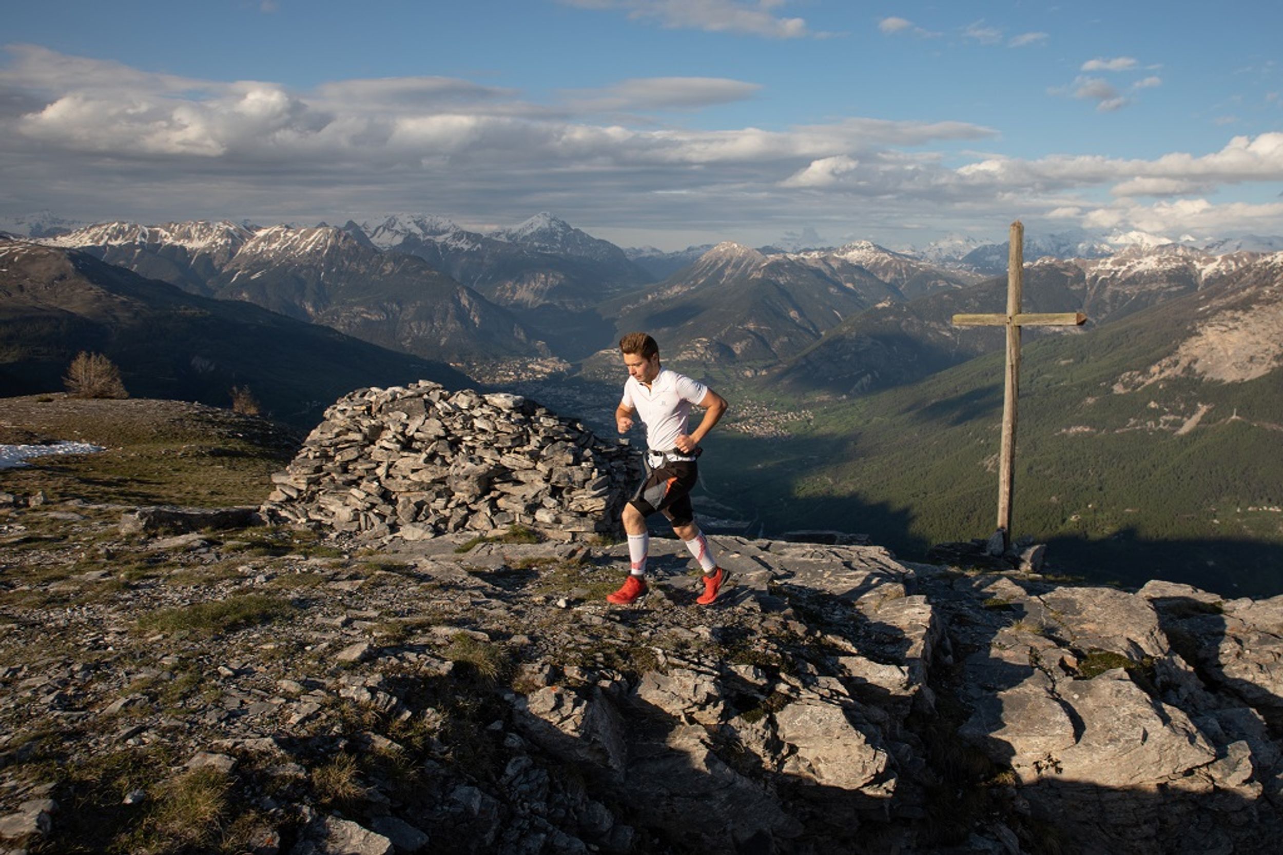
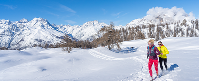
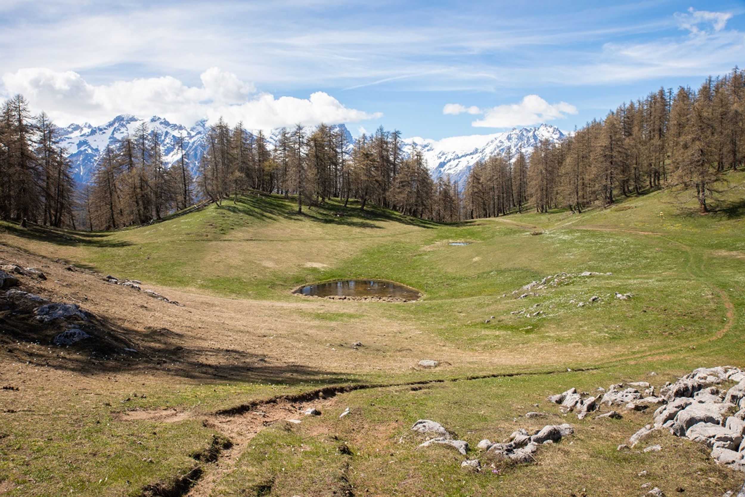
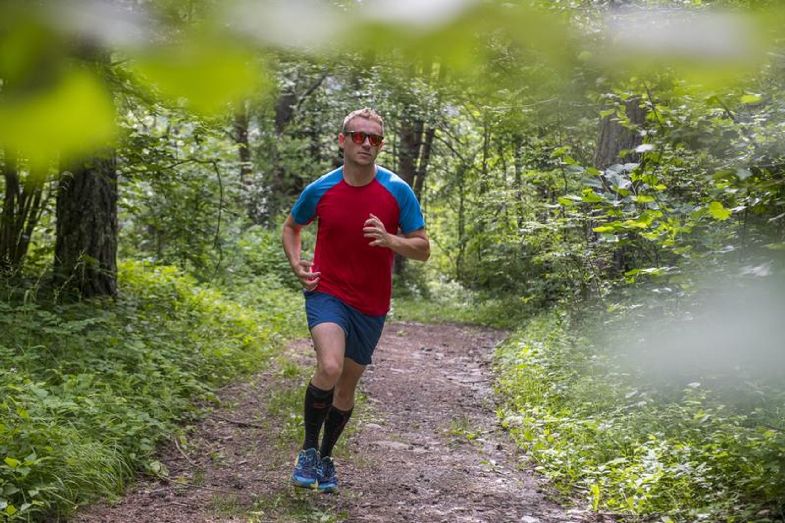
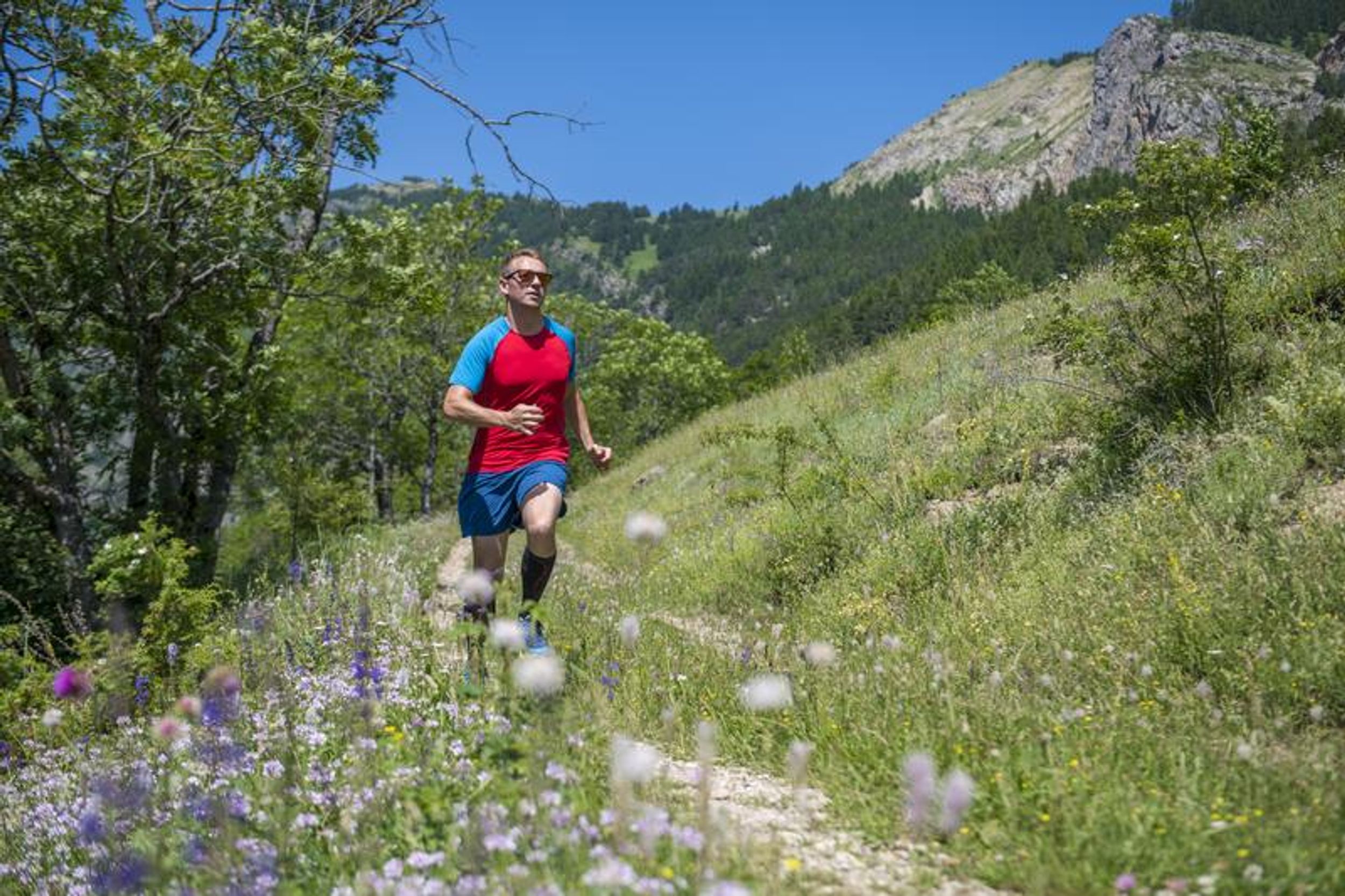
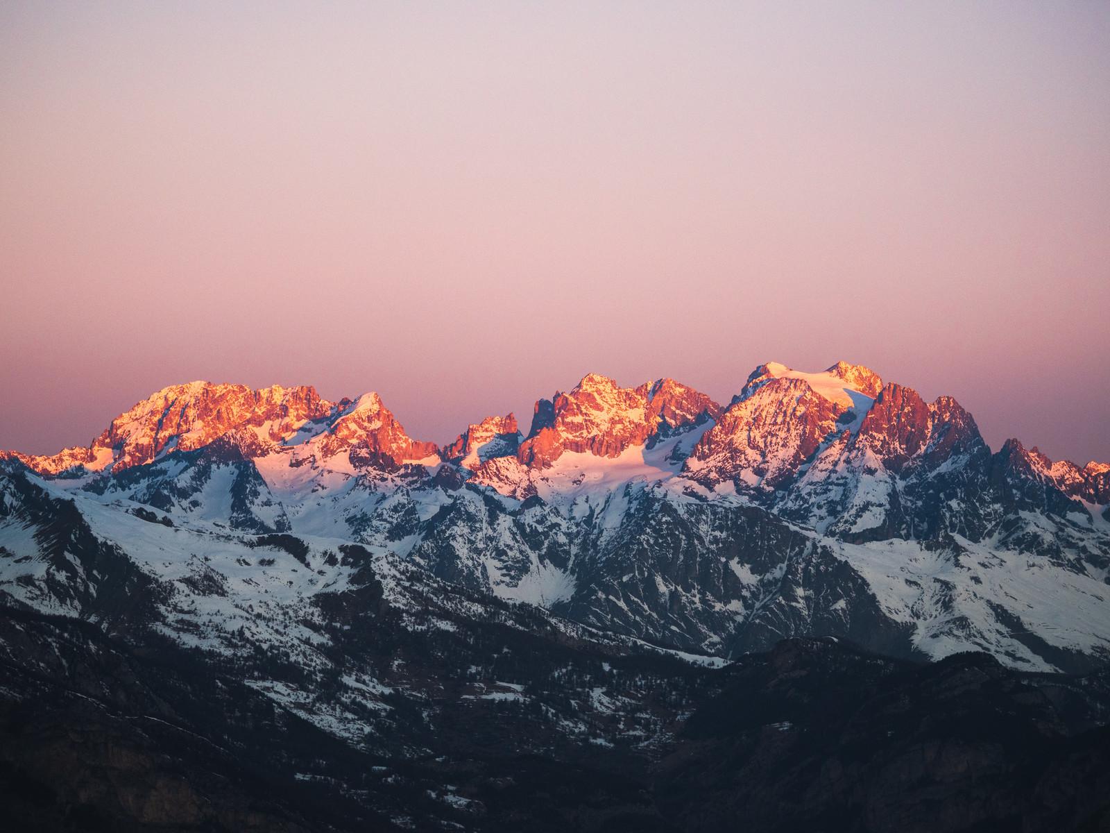
Les Têtes via La Pignée (trail route no. 23)
Routes
Very low slope <5% %
Low slope <7% %
Moderate slope <10% %
Steep slope <15% %
Very steep slope >15% %
Description
This itinerary offers a massive breath of fresh air and an incredible panoramic view.
The circuit starts at the Les Écrins campsite in L'Argentière-la-Bessée. You will go past the white water stadium along the green route ("Voie Verte") and on to the industrial zone and the roundabout in the Avenue Charles de Gaulle
At the roundabout, turn left, go through the railway line underpass and then turn right at the second roundabout, heading towards the Horloge des Hermes clock tower and Les Combettes
Head left to La Blachière and then take a path running above the silver mines ("Mines d'Argent")
After crossing the mountain stream L'Eychaillon, start a long ascent to the right along a magnificent single-track through the woods of La Pignée, heading towards Les Têtes
When you reach Les Poutilles, head left to the highest point of the trail - Les Têtes (2,044 m) - and then retrace your steps, following the route in reverse. In Les Poustilles, head left to drop back down to the Lac des Sagnes and on to the Col de la Pousterle as far as the Champ Didier
Cross the Fournel and then turn left to start a long traverse downhill towards Le Sapey and the Bois du Champ Pelbaud, in a pine forest
Go right onto the north-facing slope ("Ubac") and then follow signs for Plan Léothaud
Turn left, cross the local road and then the railway line. Then turn left again to follow the railway line to the Les Écrins campsite and your starting point
Photos
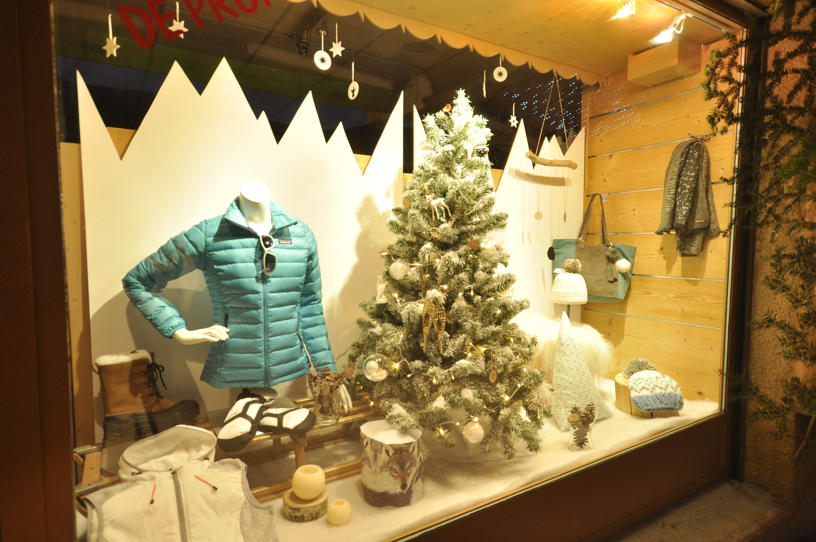
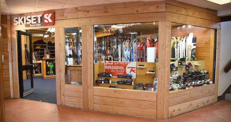
Shops, Services and Heritage Sites


You will also like